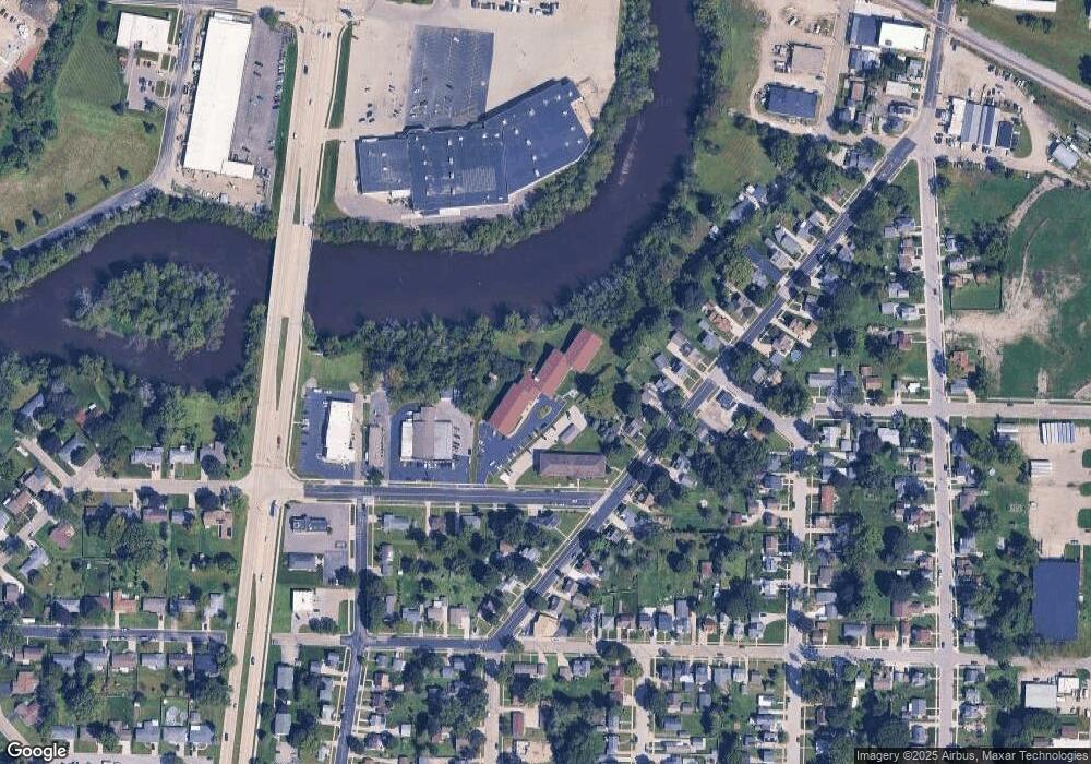
112 Stimpson St Watertown, WI 53094
Estimated Value: $100,763 - $280,000
--
Bed
--
Bath
--
Sq Ft
2,309
Sq Ft Lot
About This Home
This home is located at 112 Stimpson St, Watertown, WI 53094 and is currently estimated at $195,254. 112 Stimpson St is a home with nearby schools including Watertown High School, eCampus Academy Charter School, and Trinity-St. Luke's Lutheran Elementary School.
Ownership History
Date
Name
Owned For
Owner Type
Purchase Details
Closed on
Mar 28, 2022
Sold by
Jeffrey Hayden
Bought by
Darcy Sherman
Current Estimated Value
Purchase Details
Closed on
Aug 21, 2017
Sold by
Moth Kelly
Bought by
Hayden Diawe Bernards and Hayden Jeffrey
Purchase Details
Closed on
May 26, 2015
Sold by
Schrefield Christopher G and Schrefield Michele L
Bought by
Moth Kelly
Purchase Details
Closed on
Jul 25, 2007
Sold by
Fonger Michael F
Bought by
Wittenburg Robert J and Wittenburg Doris A
Create a Home Valuation Report for This Property
The Home Valuation Report is an in-depth analysis detailing your home's value as well as a comparison with similar homes in the area
Home Values in the Area
Average Home Value in this Area
Purchase History
| Date | Buyer | Sale Price | Title Company |
|---|---|---|---|
| Darcy Sherman | $5,400 | Darcy Sherman | |
| Hayden Diawe Bernards | -- | None Available | |
| Moth Kelly | $4,000 | None Available | |
| Wittenburg Robert J | $5,500 | None Available |
Source: Public Records
Tax History Compared to Growth
Tax History
| Year | Tax Paid | Tax Assessment Tax Assessment Total Assessment is a certain percentage of the fair market value that is determined by local assessors to be the total taxable value of land and additions on the property. | Land | Improvement |
|---|---|---|---|---|
| 2024 | $26 | $5,400 | $5,000 | $400 |
| 2023 | $26 | $5,400 | $5,000 | $400 |
| 2022 | $29 | $5,400 | $5,000 | $400 |
| 2021 | $25 | $5,400 | $5,000 | $400 |
| 2020 | $24 | $5,400 | $5,000 | $400 |
| 2019 | $27 | $5,400 | $5,000 | $400 |
| 2018 | $23 | $5,400 | $5,000 | $400 |
| 2017 | $26 | $5,500 | $4,900 | $600 |
| 2016 | $33 | $5,500 | $4,900 | $600 |
| 2015 | $32 | $5,500 | $5,000 | $500 |
| 2014 | $37 | $6,300 | $5,000 | $1,300 |
| 2013 | $41 | $6,300 | $5,000 | $1,300 |
Source: Public Records
Map
Nearby Homes
- 1215 Utah St
- 1301 Utah St
- 1313 Utah St
- 913 S 3rd St
- 1314 Waldron St
- 131 Cedar Ct
- The Saybrook Plan at Rock River Ridge
- The Atwater Plan at Rock River Ridge
- The Hudson Plan at Rock River Ridge
- The Coral Plan at Rock River Ridge
- The Drake Plan at Rock River Ridge
- The Addison Plan at Rock River Ridge
- The Bradford Plan at Rock River Ridge
- The Catalina Plan at Rock River Ridge
- The Adrian Plan at Rock River Ridge
- The McKinley Plan at Rock River Ridge
- The Siena Plan at Rock River Ridge
- The Bridgeport Plan at Rock River Ridge
- The Wingra Plan at Rock River Ridge
- The Conway Plan at Rock River Ridge
