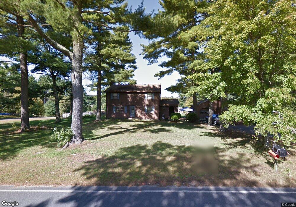
112 Strong Rd Southampton, MA 01073
Estimated Value: $436,000 - $518,000
4
Beds
2
Baths
1,776
Sq Ft
$267/Sq Ft
Est. Value
About This Home
This home is located at 112 Strong Rd, Southampton, MA 01073 and is currently estimated at $473,616, approximately $266 per square foot. 112 Strong Rd is a home located in Hampshire County with nearby schools including William E Norris School, White Oak School, and Westfield Christian Academy.
Ownership History
Date
Name
Owned For
Owner Type
Purchase Details
Closed on
Nov 4, 2021
Sold by
Perrault Leonard
Bought by
Jillson Marc T and Jillson Marykate
Current Estimated Value
Home Financials for this Owner
Home Financials are based on the most recent Mortgage that was taken out on this home.
Original Mortgage
$299,250
Outstanding Balance
$273,789
Interest Rate
2.88%
Mortgage Type
Purchase Money Mortgage
Estimated Equity
$199,827
Purchase Details
Closed on
Oct 31, 1997
Sold by
Gwinner Edward H
Bought by
Perrault Leonard M and Perrault Ruth P
Home Financials for this Owner
Home Financials are based on the most recent Mortgage that was taken out on this home.
Original Mortgage
$170,700
Interest Rate
7.31%
Mortgage Type
Purchase Money Mortgage
Purchase Details
Closed on
Feb 18, 1997
Sold by
Laversa Jean M and Laversa Joseph A
Bought by
Gwinner Edward H
Create a Home Valuation Report for This Property
The Home Valuation Report is an in-depth analysis detailing your home's value as well as a comparison with similar homes in the area
Home Values in the Area
Average Home Value in this Area
Purchase History
| Date | Buyer | Sale Price | Title Company |
|---|---|---|---|
| Jillson Marc T | $315,000 | None Available | |
| Perrault Leonard M | $176,000 | -- | |
| Gwinner Edward H | $298,500 | -- |
Source: Public Records
Mortgage History
| Date | Status | Borrower | Loan Amount |
|---|---|---|---|
| Open | Jillson Marc T | $299,250 | |
| Previous Owner | Gwinner Edward H | $208,900 | |
| Previous Owner | Gwinner Edward H | $34,000 | |
| Previous Owner | Gwinner Edward H | $170,700 |
Source: Public Records
Tax History Compared to Growth
Tax History
| Year | Tax Paid | Tax Assessment Tax Assessment Total Assessment is a certain percentage of the fair market value that is determined by local assessors to be the total taxable value of land and additions on the property. | Land | Improvement |
|---|---|---|---|---|
| 2025 | $5,053 | $356,600 | $97,300 | $259,300 |
| 2024 | $4,926 | $345,700 | $97,300 | $248,400 |
| 2023 | $4,619 | $322,300 | $97,300 | $225,000 |
| 2022 | $4,411 | $292,700 | $88,000 | $204,700 |
| 2021 | $4,143 | $259,400 | $82,700 | $176,700 |
| 2020 | $4,175 | $263,900 | $82,700 | $181,200 |
| 2019 | $5,271 | $250,400 | $82,700 | $167,700 |
| 2018 | $3,874 | $231,700 | $74,000 | $157,700 |
| 2017 | $3,865 | $236,800 | $74,000 | $162,800 |
| 2015 | $3,579 | $227,800 | $67,600 | $160,200 |
Source: Public Records
Map
Nearby Homes
- Lot 57 White Loaf Rd
- 369 College Hwy
- 150 Middle Rd
- 4 Fitch Farm Way
- Lot 5 Brickyard Rd
- 119 Brickyard Rd
- 94 Pequot Rd (Rear)
- 36 County Rd
- 64 Old Stage Rd
- 405 Rock Valley Rd
- Lot 5 Gil Farm Rd
- Lot 6 Gil Farm Rd
- 216 College Hwy
- 103 Dupuis Rd
- 0 Char Dr
- 14 Eastwood Dr
- 22 Eastwood Ln
- 868 Southampton Rd Unit 18
- 117 Russellville Rd
- 56 Pomeroy St