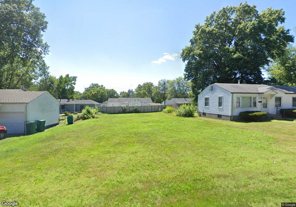
1120 Hoyt Dr Saint Louis, MO 63137
Estimated Value: $79,000 - $329,000
3
Beds
1
Bath
1,032
Sq Ft
$163/Sq Ft
Est. Value
About This Home
This home is located at 1120 Hoyt Dr, Saint Louis, MO 63137 and is currently estimated at $168,667, approximately $163 per square foot. 1120 Hoyt Dr is a home located in St. Louis County with nearby schools including Riverview Gardens Senior High School and Grace Chapel Lutheran School.
Ownership History
Date
Name
Owned For
Owner Type
Purchase Details
Closed on
Nov 14, 2018
Sold by
Seven Mile Acquistions Llc
Bought by
Taylor Nana
Current Estimated Value
Purchase Details
Closed on
Feb 15, 2013
Sold by
Secretary Of Housing & Urban Development
Bought by
Seven Mile Acquisitions Llc
Purchase Details
Closed on
Oct 2, 2012
Sold by
Morgan Wofford Rose
Bought by
Secretary Of Housing & Urban Development
Purchase Details
Closed on
Aug 12, 2004
Sold by
Gaston Timothy and Gaston Pamela H
Bought by
Morgan Wofford Rose
Home Financials for this Owner
Home Financials are based on the most recent Mortgage that was taken out on this home.
Original Mortgage
$84,572
Interest Rate
6.18%
Mortgage Type
FHA
Create a Home Valuation Report for This Property
The Home Valuation Report is an in-depth analysis detailing your home's value as well as a comparison with similar homes in the area
Home Values in the Area
Average Home Value in this Area
Purchase History
| Date | Buyer | Sale Price | Title Company |
|---|---|---|---|
| Taylor Nana | -- | Title Partners Agency Llc | |
| Seven Mile Acquisitions Llc | $21,625 | None Available | |
| Secretary Of Housing & Urban Development | $88,671 | None Available | |
| Morgan Wofford Rose | $85,900 | -- |
Source: Public Records
Mortgage History
| Date | Status | Borrower | Loan Amount |
|---|---|---|---|
| Previous Owner | Morgan Wofford Rose | $84,572 |
Source: Public Records
Tax History Compared to Growth
Tax History
| Year | Tax Paid | Tax Assessment Tax Assessment Total Assessment is a certain percentage of the fair market value that is determined by local assessors to be the total taxable value of land and additions on the property. | Land | Improvement |
|---|---|---|---|---|
| 2025 | $309 | $2,720 | $2,720 | -- |
| 2024 | $309 | $2,720 | $2,720 | -- |
| 2023 | $305 | $2,720 | $2,720 | $0 |
| 2022 | $272 | $1,940 | $1,940 | $0 |
| 2021 | $269 | $1,940 | $1,940 | $0 |
| 2020 | $323 | $2,320 | $2,320 | $0 |
| 2019 | $315 | $2,320 | $2,320 | $0 |
| 2018 | $136 | $820 | $820 | $0 |
| 2017 | $924 | $7,030 | $820 | $6,210 |
| 2016 | $887 | $6,650 | $1,580 | $5,070 |
| 2015 | $809 | $6,650 | $1,580 | $5,070 |
| 2014 | $805 | $6,650 | $2,030 | $4,620 |
Source: Public Records
Map
Nearby Homes
- 1131 Darr Dr
- 1131 Roxton Dr
- 10519 Repose Dr
- 10537 Repose Dr
- 1222 Hoyt Dr
- 1207 Bakewell Dr
- 10346 Ashbrook Dr
- 1213 Addison Dr
- 10236 Tappan Dr
- 10249 Coburg Lands Dr
- 10200 Tappan Dr
- 10218 Unicorn Dr
- 10233 Unicorn Dr
- 10116 Bellefontaine Rd
- 10130 Newbold Dr
- 10139 Cabot Dr
- 1132 Kilgore Dr
- 1422 Akron Dr
- 936 Amaral Cir
- 10477 Toelle Ln