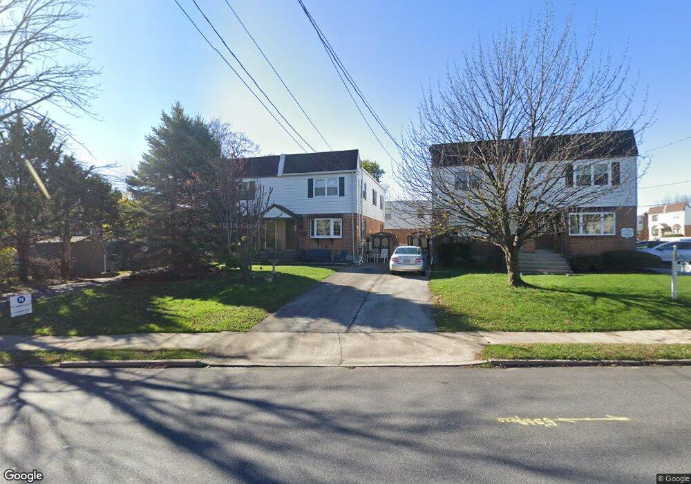
1120 W Ashland Ave Glenolden, PA 19036
Estimated Value: $262,646 - $327,000
3
Beds
2
Baths
1,440
Sq Ft
$207/Sq Ft
Est. Value
About This Home
This home is located at 1120 W Ashland Ave, Glenolden, PA 19036 and is currently estimated at $297,912, approximately $206 per square foot. 1120 W Ashland Ave is a home located in Delaware County with nearby schools including Darby Township School, St Eugene Elementary School, and Our Lady Of Fatima School.
Ownership History
Date
Name
Owned For
Owner Type
Purchase Details
Closed on
Aug 15, 2001
Sold by
Lee Frank W and Lee Patricia P
Bought by
Pearce Mary C
Current Estimated Value
Home Financials for this Owner
Home Financials are based on the most recent Mortgage that was taken out on this home.
Original Mortgage
$89,294
Interest Rate
6.27%
Mortgage Type
FHA
Create a Home Valuation Report for This Property
The Home Valuation Report is an in-depth analysis detailing your home's value as well as a comparison with similar homes in the area
Home Values in the Area
Average Home Value in this Area
Purchase History
| Date | Buyer | Sale Price | Title Company |
|---|---|---|---|
| Pearce Mary C | $90,000 | -- |
Source: Public Records
Mortgage History
| Date | Status | Borrower | Loan Amount |
|---|---|---|---|
| Previous Owner | Pearce Mary C | $89,294 |
Source: Public Records
Tax History Compared to Growth
Tax History
| Year | Tax Paid | Tax Assessment Tax Assessment Total Assessment is a certain percentage of the fair market value that is determined by local assessors to be the total taxable value of land and additions on the property. | Land | Improvement |
|---|---|---|---|---|
| 2025 | $5,415 | $122,180 | $28,200 | $93,980 |
| 2024 | $5,415 | $122,180 | $28,200 | $93,980 |
| 2023 | $4,187 | $122,180 | $28,200 | $93,980 |
| 2022 | $5,173 | $122,180 | $28,200 | $93,980 |
| 2021 | $7,086 | $122,180 | $28,200 | $93,980 |
| 2020 | $5,550 | $86,700 | $24,160 | $62,540 |
| 2019 | $5,286 | $86,700 | $24,160 | $62,540 |
| 2018 | $5,168 | $86,700 | $0 | $0 |
| 2017 | $4,985 | $86,700 | $0 | $0 |
| 2016 | $476 | $86,700 | $0 | $0 |
| 2015 | $486 | $86,700 | $0 | $0 |
| 2014 | $486 | $86,700 | $0 | $0 |
Source: Public Records
Map
Nearby Homes
- 1012 Brook Ave
- 1114 Wynnbrook Rd
- 1024 Oakwood Dr
- 900 Maple Ave
- 821 Lawnton Terrace
- 816 South Ave Unit K1
- 816 South Ave Unit K9
- 719 Beech Ave
- 814 South Ave Unit J6
- 804 South Ave Unit D7
- 631 Beech Ave
- 662 S Oak Ave
- 2815 Quaint St
- 653 Rively Ave
- 1102 Primos Ave
- 707 Crescent Dr
- 614 S Garfield Ave
- 604 Crescent Dr
- 860 Wyndom Terrace
- 1106 Belmont Ave
- 1130 W Ashland Ave
- 1110 W Ashland Ave
- 1140 W Ashland Ave
- 5 Lawnton Terrace W
- 7 Lawnton Terrace W
- 6 Briarcliffe Rd
- 4 Briarcliffe Rd
- 8 Briarcliffe Rd
- 10 Briarcliffe Rd
- 9 Lawnton Terrace W
- 2 Briarcliffe Rd
- 12 Briarcliffe Rd
- 1022 Lawnton Terrace
- 14 Briarcliffe Rd
- 16 Briarcliffe Rd
- 11 Lawnton Terrace W
- 18 Briarcliffe Rd
- 20 Briarcliffe Rd
- 22 Briarcliffe Rd
- 1093 W Ashland Ave