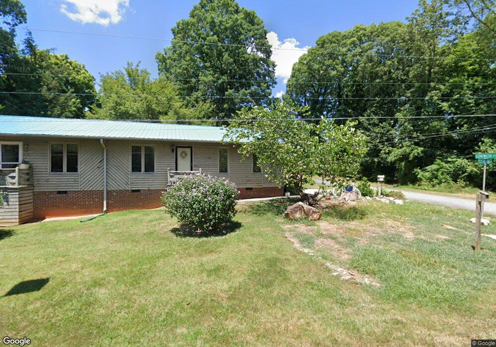
1122 Cleveland St Asheboro, NC 27205
Estimated Value: $165,000 - $251,000
--
Bed
4
Baths
2,010
Sq Ft
$107/Sq Ft
Est. Value
About This Home
This home is located at 1122 Cleveland St, Asheboro, NC 27205 and is currently estimated at $214,964, approximately $106 per square foot. 1122 Cleveland St is a home located in Randolph County with nearby schools including Charles W. McCrary Elementary School, North Asheboro Middle School, and Asheboro High School.
Ownership History
Date
Name
Owned For
Owner Type
Purchase Details
Closed on
Jul 17, 2017
Sold by
Mill Avenue Re Llc
Bought by
Yow Barry D and Yow Mary A
Current Estimated Value
Purchase Details
Closed on
Jul 12, 2017
Sold by
Yow Barry D and Yow Mary A
Bought by
Gallimore Harlan R and Gallimore Vickie H
Purchase Details
Closed on
Nov 8, 2005
Sold by
Santoro William M
Bought by
Yow Barry D and Yow Mary A
Home Financials for this Owner
Home Financials are based on the most recent Mortgage that was taken out on this home.
Original Mortgage
$81,000
Interest Rate
5.76%
Mortgage Type
Purchase Money Mortgage
Purchase Details
Closed on
Jan 2, 1996
Bought by
Yow Barry Dennis Yow Mary Ann
Create a Home Valuation Report for This Property
The Home Valuation Report is an in-depth analysis detailing your home's value as well as a comparison with similar homes in the area
Home Values in the Area
Average Home Value in this Area
Purchase History
| Date | Buyer | Sale Price | Title Company |
|---|---|---|---|
| Yow Barry D | -- | None Available | |
| Gallimore Harlan R | $90,000 | None Available | |
| Yow Barry D | $81,000 | Bb&T | |
| Yow Barry Dennis Yow Mary Ann | $105,000 | -- |
Source: Public Records
Mortgage History
| Date | Status | Borrower | Loan Amount |
|---|---|---|---|
| Previous Owner | Yow Barry D | $81,000 |
Source: Public Records
Tax History Compared to Growth
Tax History
| Year | Tax Paid | Tax Assessment Tax Assessment Total Assessment is a certain percentage of the fair market value that is determined by local assessors to be the total taxable value of land and additions on the property. | Land | Improvement |
|---|---|---|---|---|
| 2025 | $1,194 | $154,580 | $19,880 | $134,700 |
| 2024 | $1,179 | $154,580 | $19,880 | $134,700 |
| 2023 | $1,179 | $154,580 | $19,880 | $134,700 |
| 2022 | $1,046 | $112,880 | $16,200 | $96,680 |
| 2021 | $1,046 | $112,880 | $16,200 | $96,680 |
| 2020 | $1,023 | $112,880 | $16,200 | $96,680 |
| 2019 | $1,023 | $112,880 | $16,200 | $96,680 |
| 2018 | $867 | $93,010 | $15,650 | $77,360 |
| 2016 | $1,050 | $113,791 | $17,060 | $96,731 |
| 2015 | $1,041 | $113,791 | $17,060 | $96,731 |
| 2014 | -- | $113,791 | $17,060 | $96,731 |
Source: Public Records
Map
Nearby Homes
- 627 Oakmont Dr
- 866 Mountain Rd
- 1110 Park Dr
- 0 Highwood Dr
- 0000 Little Gate Dr
- 1011 Westmont Dr
- 1582 Westmont Dr
- 435 Peachtree St
- 1025 Neely Dr
- TBD Oakland Ave
- 516 and 518 Peachtree St
- 1142 Westover Terrace
- 923 Arnold St
- 1407 Oakland Ave
- 1263 Winslow Ave Unit A, B & C
- 0 Amity Rd
- 330 W Presnell St Unit 37
- 330 13 W Presnell St
- 830 Sunset Ave
- 135 West St
- 811 Corwith St
- 625 Corwith St
- 802 Mountain Rd
- 824 Corwith St
- 647 Lincoln Ave
- 810 Mountain Rd
- 657 Lincoln Ave
- 657 Lincoln Ave
- 707 Wilson St
- 637 Lincoln Ave
- 816 Mountain Rd
- 827 Corwith St
- 717 Lincoln Ave
- 625 Lincoln Ave
- 664 Lincoln Ave
- 830 Mountain Rd
- 721 Lincoln Ave
- 656 Lincoln Ave
- 0 Mountain Rd
- 805 Mountain Rd