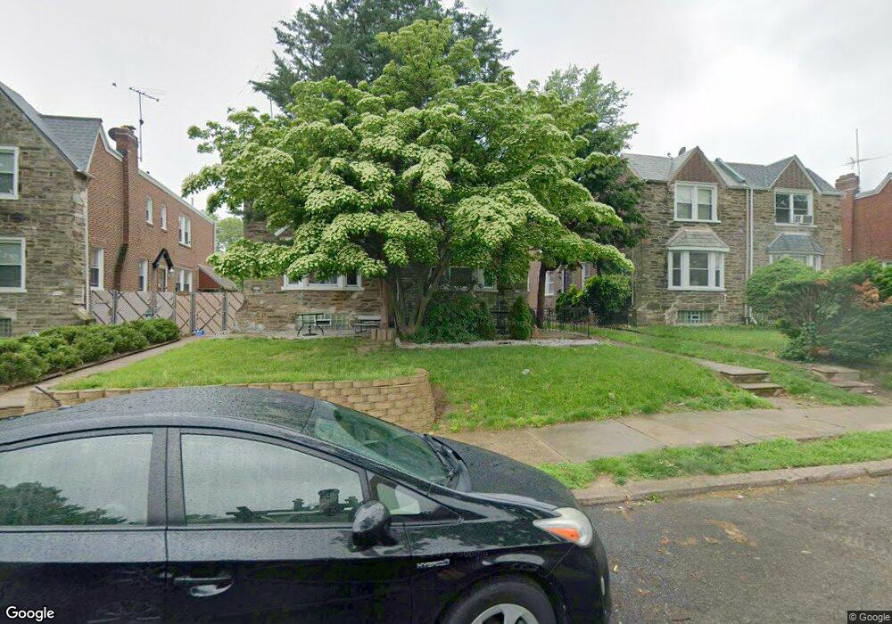
1124 Kenwyn St Philadelphia, PA 19124
Frankford NeighborhoodEstimated Value: $243,000 - $303,000
4
Beds
1
Bath
1,768
Sq Ft
$158/Sq Ft
Est. Value
About This Home
This home is located at 1124 Kenwyn St, Philadelphia, PA 19124 and is currently estimated at $279,432, approximately $158 per square foot. 1124 Kenwyn St is a home with nearby schools including Frankford High School and The Philadelphia Charter School for the Arts & Sciences.
Ownership History
Date
Name
Owned For
Owner Type
Purchase Details
Closed on
Apr 2, 2001
Sold by
Amaral Ryan Iv John J and Amaral Ryan Rosa
Bought by
Hinton Nicole and Bridges Joseph A
Current Estimated Value
Home Financials for this Owner
Home Financials are based on the most recent Mortgage that was taken out on this home.
Original Mortgage
$92,162
Outstanding Balance
$32,842
Interest Rate
6.9%
Mortgage Type
FHA
Estimated Equity
$246,590
Purchase Details
Closed on
Sep 20, 1994
Sold by
Green John D
Bought by
Amaral Ryan Iv John J and Amaral Ryan Rosa
Create a Home Valuation Report for This Property
The Home Valuation Report is an in-depth analysis detailing your home's value as well as a comparison with similar homes in the area
Home Values in the Area
Average Home Value in this Area
Purchase History
| Date | Buyer | Sale Price | Title Company |
|---|---|---|---|
| Hinton Nicole | $92,900 | -- | |
| Amaral Ryan Iv John J | $3,900 | -- |
Source: Public Records
Mortgage History
| Date | Status | Borrower | Loan Amount |
|---|---|---|---|
| Open | Hinton Nicole | $92,162 |
Source: Public Records
Tax History Compared to Growth
Tax History
| Year | Tax Paid | Tax Assessment Tax Assessment Total Assessment is a certain percentage of the fair market value that is determined by local assessors to be the total taxable value of land and additions on the property. | Land | Improvement |
|---|---|---|---|---|
| 2026 | $3,250 | $260,500 | $52,100 | $208,400 |
| 2025 | $3,250 | $260,500 | $52,100 | $208,400 |
| 2024 | $3,250 | $260,500 | $52,100 | $208,400 |
| 2023 | $3,250 | $232,200 | $46,440 | $185,760 |
| 2022 | $2,492 | $232,200 | $46,440 | $185,760 |
| 2021 | $2,492 | $0 | $0 | $0 |
| 2020 | $2,492 | $0 | $0 | $0 |
| 2019 | $2,391 | $0 | $0 | $0 |
| 2018 | $2,297 | $0 | $0 | $0 |
| 2017 | $2,297 | $0 | $0 | $0 |
| 2016 | $2,297 | $0 | $0 | $0 |
| 2015 | $2,199 | $0 | $0 | $0 |
| 2014 | -- | $164,100 | $42,210 | $121,890 |
| 2012 | -- | $21,248 | $2,234 | $19,014 |
Source: Public Records
Map
Nearby Homes
- 1204 Pratt St
- 1218 Pratt St
- 1220 Pratt St
- 1137 Bridge St
- 5118 Oakland St
- 1048 Bridge St
- 1208 Haworth St
- 1214 Haworth St
- 1052 Allengrove St
- 5033 Akron St
- 5241 Akron St
- 5347 Sylvester St
- 5304 Akron St
- 1244 E Sanger St
- 5244 Saul St
- 1359 Dyre St
- 5300 Saul St
- 1859 Harrison St
- 5345 Akron St
- 1300 Harrison St