1125 Smoke Rise Dr Hayesville, NC 28904
Estimated Value: $393,000 - $487,000
3
Beds
3
Baths
2,448
Sq Ft
$179/Sq Ft
Est. Value
About This Home
This home is located at 1125 Smoke Rise Dr, Hayesville, NC 28904 and is currently estimated at $438,337, approximately $179 per square foot. 1125 Smoke Rise Dr is a home located in Clay County with nearby schools including Hayesville Elementary School, Hayesville Middle School, and Hayesville High School.
Ownership History
Date
Name
Owned For
Owner Type
Purchase Details
Closed on
Jul 31, 2006
Sold by
Mcdavid E Chandler E and Mcdavid Terri Anne
Bought by
Whiteherse James A and Whiteherse Barbara J
Current Estimated Value
Home Financials for this Owner
Home Financials are based on the most recent Mortgage that was taken out on this home.
Original Mortgage
$208,000
Outstanding Balance
$124,165
Interest Rate
6.75%
Mortgage Type
Adjustable Rate Mortgage/ARM
Estimated Equity
$314,172
Create a Home Valuation Report for This Property
The Home Valuation Report is an in-depth analysis detailing your home's value as well as a comparison with similar homes in the area
Home Values in the Area
Average Home Value in this Area
Purchase History
| Date | Buyer | Sale Price | Title Company |
|---|---|---|---|
| Whiteherse James A | $260,000 | -- |
Source: Public Records
Mortgage History
| Date | Status | Borrower | Loan Amount |
|---|---|---|---|
| Open | Whiteherse James A | $208,000 |
Source: Public Records
Tax History Compared to Growth
Tax History
| Year | Tax Paid | Tax Assessment Tax Assessment Total Assessment is a certain percentage of the fair market value that is determined by local assessors to be the total taxable value of land and additions on the property. | Land | Improvement |
|---|---|---|---|---|
| 2025 | $1,100 | $212,700 | $45,000 | $167,700 |
| 2024 | $1,100 | $212,700 | $45,000 | $167,700 |
| 2023 | $978 | $212,700 | $45,000 | $167,700 |
| 2022 | $978 | $212,700 | $45,000 | $167,700 |
| 2021 | $978 | $212,700 | $45,000 | $167,700 |
| 2020 | $978 | $212,700 | $45,000 | $167,700 |
| 2019 | $978 | $212,700 | $45,000 | $167,700 |
| 2018 | $978 | $212,700 | $45,000 | $167,700 |
| 2016 | -- | $269,356 | $110,000 | $159,356 |
| 2015 | -- | $269,356 | $110,000 | $159,356 |
| 2014 | -- | $269,356 | $110,000 | $159,356 |
Source: Public Records
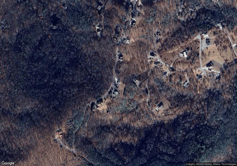
Map
Nearby Homes
- 1014 Smoke Rise Dr
- 7 Lakeview Dr
- 0 2 Pond Ln
- 230 Pinners Point Unit 61
- 230 Pinners Point
- 76 Hollyanne Pond Ln
- Lots 7&8 Wikle Rd
- LT 10 Longview Ridge
- 31 Longview Dr
- LOT 9 Longview Dr
- Lot 20 Skid Strip Ln
- Lot 26 Longview Dr
- Lot 22B Longview Dr
- 0 Wikle Rd Unit LOTS 7, 8, ADD.
- Lot 26 Longview Ridge
- 437 Pine Ridge Dr
- 3.84 AC Matheson Cove Rd
- 308 Black Bear Trail
- 76 Murray Hill Terrace
- 1143 Smoke Rise Dr
- 70 Smokerise Ln
- 1065 Smoke Rise Dr
- 1065 Smoke Rise Dr Unit 4
- 1065 Smoke Rise Dr
- 1197 Smoke Rise Dr
- 554 Dogwood Ln
- 1011 Smoke Rise Dr
- 542 Dogwood Ln
- 15 Smoke Rise Dr
- 15 Smoke Rise Ln Unit Lot 15
- LT 15 Smoke Rise Dr
- LT 15 Smoke Rise Dr Unit LT 15
- 169 Smoke Rise Ln
- 169 Smoke Rise Dr
- 591 Dogwood Ln
- 87 Ridge View Ln
- 996 Smoke Rise Dr
- LT 6 Smoke Rise Dr
- #9 Smoke Rise Dr