11281 High Brook St Culpeper, VA 22701
Estimated Value: $379,000 - $415,000
3
Beds
3
Baths
1,416
Sq Ft
$282/Sq Ft
Est. Value
About This Home
This home is located at 11281 High Brook St, Culpeper, VA 22701 and is currently estimated at $399,190, approximately $281 per square foot. 11281 High Brook St is a home located in Culpeper County with nearby schools including Yowell Elementary School, Culpeper Middle School, and Culpeper County High School.
Ownership History
Date
Name
Owned For
Owner Type
Purchase Details
Closed on
Jul 7, 2009
Sold by
Swindler Heide S
Bought by
Swindler Michael R
Current Estimated Value
Home Financials for this Owner
Home Financials are based on the most recent Mortgage that was taken out on this home.
Original Mortgage
$84,000
Outstanding Balance
$53,301
Interest Rate
4.93%
Mortgage Type
New Conventional
Estimated Equity
$345,889
Create a Home Valuation Report for This Property
The Home Valuation Report is an in-depth analysis detailing your home's value as well as a comparison with similar homes in the area
Home Values in the Area
Average Home Value in this Area
Purchase History
| Date | Buyer | Sale Price | Title Company |
|---|---|---|---|
| Swindler Michael R | $105,000 | -- |
Source: Public Records
Mortgage History
| Date | Status | Borrower | Loan Amount |
|---|---|---|---|
| Open | Swindler Michael R | $84,000 |
Source: Public Records
Tax History Compared to Growth
Tax History
| Year | Tax Paid | Tax Assessment Tax Assessment Total Assessment is a certain percentage of the fair market value that is determined by local assessors to be the total taxable value of land and additions on the property. | Land | Improvement |
|---|---|---|---|---|
| 2025 | $1,589 | $369,500 | $111,100 | $258,400 |
| 2024 | $1,589 | $322,700 | $76,100 | $246,600 |
| 2023 | $1,484 | $322,700 | $76,100 | $246,600 |
| 2022 | $1,400 | $254,500 | $61,100 | $193,400 |
| 2021 | $1,400 | $254,500 | $61,100 | $193,400 |
| 2020 | $1,466 | $236,400 | $59,500 | $176,900 |
| 2019 | $1,466 | $236,400 | $59,500 | $176,900 |
| 2018 | $1,327 | $198,100 | $46,300 | $151,800 |
| 2017 | $1,327 | $198,100 | $46,300 | $151,800 |
| 2016 | $1,388 | $190,096 | $41,400 | $148,696 |
| 2015 | $1,388 | $190,100 | $41,400 | $148,700 |
| 2014 | $1,387 | $167,100 | $37,300 | $129,800 |
Source: Public Records
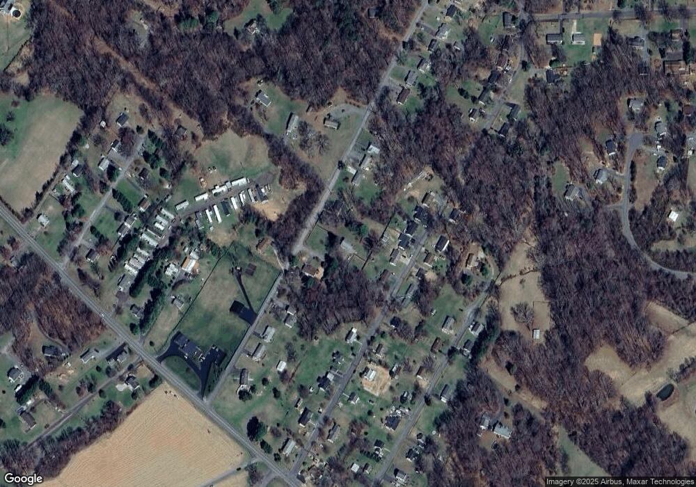
Map
Nearby Homes
- 11441 Sperryville Pike
- 14343 General Longstreet Ave
- 15269 Gibson Mill Rd
- 12157 Dogwood Ln
- 10515 Sperryville Pike
- 15650 Gibson Mill Rd
- 10446 Cherry Hill Rd
- 10428 Cherry Hill Rd
- 14451 Jenkins Ridge Rd
- 12252 Randle Ln
- 14363 Clark Meadow Ln
- 1231 Sperryville Pike
- 0 Wayland Rd Unit VACU2011224
- 566 Windermere Dr
- 16398 Shadow Dr
- LOT 1 Norman Rd
- 13616 Eggbornsville Rd
- 13419 Stonehouse Mountain Rd
- 687 Hunters Rd
- 487 Kearns Dr
- 14473 General Longstreet Ave
- 11270 High Brook St
- 14502 Gen Lee Ave
- 14502 General Lee Ave
- 14490 General Lee Ave
- 14484 General Lee Ave
- 0 General Longstreet
- 14506 General Longstreet Ave
- 14459 General Longstreet Ave
- 14476 General Lee Ave
- General Longstreet A General Longstreet Ave
- 14449 General Longstreet Ave
- 15026 General Lee Ave
- 14499 General Lee Ave
- 14468 General Lee Ave
- 15003 General Longstreet Ave
- 14493 General Lee Ave
- 14453-1452 Fletcher Place
- 14487 General Lee Ave
- 14443 General Longstreet Ave