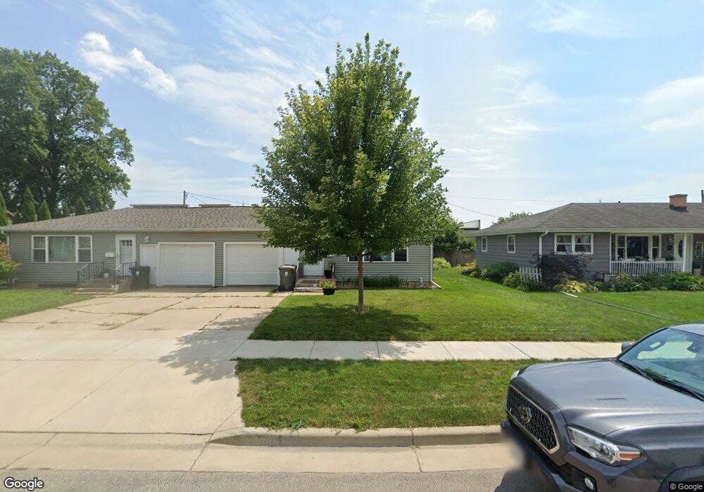
113 Roland St Sun Prairie, WI 53590
Central Sun Prairie NeighborhoodEstimated Value: $373,000 - $409,000
4
Beds
2
Baths
1,860
Sq Ft
$211/Sq Ft
Est. Value
About This Home
This home is located at 113 Roland St, Sun Prairie, WI 53590 and is currently estimated at $392,029, approximately $210 per square foot. 113 Roland St is a home located in Dane County with nearby schools including Northside Elementary School, Central Heights Middle School, and Sun Prairie East High School.
Ownership History
Date
Name
Owned For
Owner Type
Purchase Details
Closed on
Dec 29, 2016
Sold by
Forsythe Joseph C
Bought by
Annen Lance and Annen Jennifer
Current Estimated Value
Home Financials for this Owner
Home Financials are based on the most recent Mortgage that was taken out on this home.
Original Mortgage
$155,550
Interest Rate
3.94%
Mortgage Type
Purchase Money Mortgage
Create a Home Valuation Report for This Property
The Home Valuation Report is an in-depth analysis detailing your home's value as well as a comparison with similar homes in the area
Home Values in the Area
Average Home Value in this Area
Purchase History
| Date | Buyer | Sale Price | Title Company |
|---|---|---|---|
| Annen Lance | $185,000 | None Available |
Source: Public Records
Mortgage History
| Date | Status | Borrower | Loan Amount |
|---|---|---|---|
| Closed | Annen Lance | $155,550 |
Source: Public Records
Tax History Compared to Growth
Tax History
| Year | Tax Paid | Tax Assessment Tax Assessment Total Assessment is a certain percentage of the fair market value that is determined by local assessors to be the total taxable value of land and additions on the property. | Land | Improvement |
|---|---|---|---|---|
| 2024 | $6,194 | $320,900 | $64,700 | $256,200 |
| 2023 | $5,612 | $320,900 | $64,700 | $256,200 |
| 2021 | $5,421 | $251,000 | $60,200 | $190,800 |
| 2020 | $5,457 | $251,000 | $60,200 | $190,800 |
| 2019 | $4,707 | $174,900 | $48,200 | $126,700 |
| 2018 | $3,964 | $174,900 | $48,200 | $126,700 |
| 2017 | $3,830 | $174,900 | $48,200 | $126,700 |
| 2016 | $3,944 | $163,400 | $42,200 | $121,200 |
| 2015 | $3,832 | $163,400 | $42,200 | $121,200 |
| 2014 | $4,134 | $175,200 | $42,200 | $133,000 |
| 2013 | $5,039 | $175,200 | $42,200 | $133,000 |
Source: Public Records
Map
Nearby Homes
- 530 W Main St
- 916 Ring St
- 147 Flint St
- 1033 Lothe St
- 200 Queens St
- 706 Woodland Dr
- 227 Windsor St
- 600 Linnerud Dr
- 2543 Water Lily Cir
- 2560 Water Lily Cir
- 2535 Water Lily Cir
- 2522 Water Lily Cir
- 709 Linnerud Dr
- 3345 U S 151
- 201 E Lane St Unit 202
- 921 Pine St
- 1486 Ivory Dr
- 1443 Buena Vista Dr
- 1013 Vandenburg St
- 1010 Andrews Dr