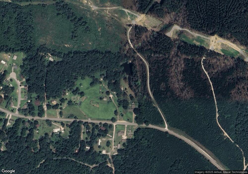
11311 Covered Bridge Rd Brookwood, AL 35444
Estimated Value: $292,047 - $326,000
--
Bed
1
Bath
3,186
Sq Ft
$97/Sq Ft
Est. Value
About This Home
This home is located at 11311 Covered Bridge Rd, Brookwood, AL 35444 and is currently estimated at $308,512, approximately $96 per square foot. 11311 Covered Bridge Rd is a home located in Tuscaloosa County with nearby schools including Brookwood Elementary School, Brookwood Middle School, and Brookwood High School.
Ownership History
Date
Name
Owned For
Owner Type
Purchase Details
Closed on
Jul 27, 2005
Sold by
American General Finance I
Bought by
Farmer R Alan
Current Estimated Value
Home Financials for this Owner
Home Financials are based on the most recent Mortgage that was taken out on this home.
Original Mortgage
$168,000
Outstanding Balance
$87,400
Interest Rate
5.51%
Mortgage Type
Purchase Money Mortgage
Estimated Equity
$221,112
Create a Home Valuation Report for This Property
The Home Valuation Report is an in-depth analysis detailing your home's value as well as a comparison with similar homes in the area
Home Values in the Area
Average Home Value in this Area
Purchase History
| Date | Buyer | Sale Price | Title Company |
|---|---|---|---|
| Farmer R Alan | $168,500 | -- |
Source: Public Records
Mortgage History
| Date | Status | Borrower | Loan Amount |
|---|---|---|---|
| Open | Farmer R Alan | $168,000 |
Source: Public Records
Tax History Compared to Growth
Tax History
| Year | Tax Paid | Tax Assessment Tax Assessment Total Assessment is a certain percentage of the fair market value that is determined by local assessors to be the total taxable value of land and additions on the property. | Land | Improvement |
|---|---|---|---|---|
| 2024 | $1,430 | $41,760 | $1,760 | $40,000 |
| 2023 | $1,336 | $41,760 | $1,760 | $40,000 |
| 2022 | $1,446 | $45,200 | $1,760 | $43,440 |
| 2021 | $1,446 | $45,200 | $1,760 | $43,440 |
| 2020 | $1,245 | $38,920 | $1,760 | $37,160 |
| 2019 | $1,245 | $38,920 | $1,760 | $37,160 |
| 2018 | $1,245 | $38,920 | $1,760 | $37,160 |
| 2017 | $1,137 | $0 | $0 | $0 |
| 2016 | $1,174 | $0 | $0 | $0 |
| 2015 | $1,174 | $0 | $0 | $0 |
| 2014 | -- | $36,700 | $1,760 | $34,940 |
Source: Public Records
Map
Nearby Homes
- 11316 Covered Bridge Rd
- 11312 Covered Bridge Rd
- 0 George Newell Rd Unit 22533789
- 0 George Newell Rd Unit 22533790
- 10349 Middleton Rd
- 11764 Covered Bridge Rd
- 0 Hurricane Valley Rd Unit 171183
- 10617 Austin Loop
- 16670 Laney Ln
- 16210 Stone Ridge Pkwy
- 0 Big Hurricane Rd
- 0 Stone Ridge Pkwy
- 10464 Nicole St
- 10432 Nicole St
- 15911 Lexie Dr
- 16082 House Rd Unit 195000
- 0 Lexie Ln
- 16414 Highway 11 N
- 15525 Tide Water Terrace
- 15585 Crimson Ridge Cir
- 11335 Covered Bridge Rd
- 11322 Covered Bridge Rd
- 10196 Chestnut Ln
- 10190 Chestnut Ln
- 11337 Covered Bridge Rd
- 10160 Chestnut Ln
- 11338 Covered Bridge Rd
- 10180 Chestnut Ln
- 11341 Covered Bridge Rd
- 11348 Covered Bridge Rd
- 11349 Covered Bridge Rd
- 11358 Covered Bridge Rd
- 10469 Crystal Cove Ln
- 10463 Crystal Cove Ln
- 10475 Crystal Cove Ln
- 10481 Crystal Cove Ln
- 11362 Covered Bridge Rd
- 10462 Crystal Cove Ln
- 10487 Crystal Cove Ln
- 11395 Covered Bridge Rd
