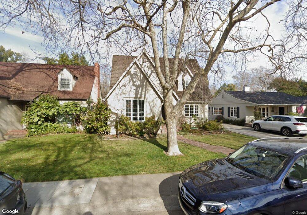
1135 10th Ave Sacramento, CA 95818
Land Park NeighborhoodEstimated Value: $878,000 - $1,348,000
3
Beds
2
Baths
1,410
Sq Ft
$729/Sq Ft
Est. Value
About This Home
This home is located at 1135 10th Ave, Sacramento, CA 95818 and is currently estimated at $1,028,211, approximately $729 per square foot. 1135 10th Ave is a home located in Sacramento County with nearby schools including Crocker/Riverside Elementary School, California Middle, and C. K. McClatchy High.
Ownership History
Date
Name
Owned For
Owner Type
Purchase Details
Closed on
Oct 25, 2010
Sold by
Patterson Analea J and Barankin Nathan R
Bought by
Barankin Nathan Robert and Patterson Analea J
Current Estimated Value
Home Financials for this Owner
Home Financials are based on the most recent Mortgage that was taken out on this home.
Original Mortgage
$393,500
Outstanding Balance
$260,418
Interest Rate
4.33%
Mortgage Type
New Conventional
Estimated Equity
$767,793
Purchase Details
Closed on
Feb 7, 2008
Sold by
Warr Pat E
Bought by
Patterson Analea J and Barankin Nathan R
Home Financials for this Owner
Home Financials are based on the most recent Mortgage that was taken out on this home.
Original Mortgage
$399,200
Interest Rate
6.17%
Mortgage Type
Purchase Money Mortgage
Create a Home Valuation Report for This Property
The Home Valuation Report is an in-depth analysis detailing your home's value as well as a comparison with similar homes in the area
Home Values in the Area
Average Home Value in this Area
Purchase History
| Date | Buyer | Sale Price | Title Company |
|---|---|---|---|
| Barankin Nathan Robert | -- | First American Title Company | |
| Patterson Analea J | $499,000 | Placer Title Company |
Source: Public Records
Mortgage History
| Date | Status | Borrower | Loan Amount |
|---|---|---|---|
| Open | Barankin Nathan Robert | $393,500 | |
| Closed | Patterson Analea J | $399,200 |
Source: Public Records
Tax History Compared to Growth
Tax History
| Year | Tax Paid | Tax Assessment Tax Assessment Total Assessment is a certain percentage of the fair market value that is determined by local assessors to be the total taxable value of land and additions on the property. | Land | Improvement |
|---|---|---|---|---|
| 2025 | $7,666 | $850,428 | $354,642 | $495,786 |
| 2024 | $7,666 | $642,578 | $347,689 | $294,889 |
| 2023 | $7,485 | $629,979 | $340,872 | $289,107 |
| 2022 | $7,359 | $617,628 | $334,189 | $283,439 |
| 2021 | $7,010 | $605,519 | $327,637 | $277,882 |
| 2020 | $7,069 | $599,311 | $324,278 | $275,033 |
| 2019 | $6,918 | $587,561 | $317,920 | $269,641 |
| 2018 | $6,738 | $576,041 | $311,687 | $264,354 |
| 2017 | $6,646 | $564,747 | $305,576 | $259,171 |
| 2016 | $6,506 | $553,675 | $299,585 | $254,090 |
| 2015 | $6,411 | $545,359 | $295,085 | $250,274 |
| 2014 | $6,236 | $534,677 | $289,305 | $245,372 |
Source: Public Records
Map
Nearby Homes
- 1032 10th Ave
- 1432 Teneighth Way
- 3098 Riverside Blvd
- 849 8th Ave
- 710 7th Ave
- 1701 9th Ave
- 625 Robertson Way
- 1831 9th Ave
- 1615 Vallejo Way
- 613 Swanston Dr
- 2750 Moonflower St
- 749 3rd Ave Unit 3
- 1725 Vallejo Way
- 1756 Vallejo Way
- 2726 Moonflower St
- 2825 Elderberry St
- 808 Fremont Way
- The Argo Plan at The Estates at Newport
- The Baltic Plan at The Estates at Newport
- The Caspian Plan at The Estates at Newport
- 1129 10th Ave
- 1201 10th Ave
- 1123 10th Ave
- 1207 10th Ave
- 1200 Teneighth Way
- 1136 Teneighth Way
- 1117 10th Ave
- 1206 Teneighth Way
- 1213 10th Ave
- 1130 Teneighth Way
- 1130 10th Ave
- 1138 10th Ave
- 1212 Teneighth Way
- 1124 Teneighth Way
- 1124 10th Ave
- 1200 10th Ave
- 1217 10th Ave
- 1118 10th Ave
- 1118 Teneighth Way
- 1206 10th Ave