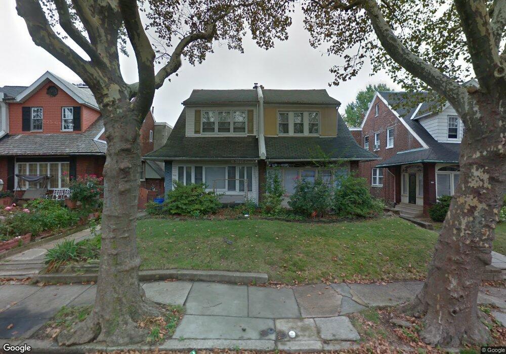
1139 Dyre St Philadelphia, PA 19124
Frankford NeighborhoodEstimated Value: $229,000 - $294,713
4
Beds
1
Bath
1,828
Sq Ft
$147/Sq Ft
Est. Value
About This Home
This home is located at 1139 Dyre St, Philadelphia, PA 19124 and is currently estimated at $269,428, approximately $147 per square foot. 1139 Dyre St is a home located in Philadelphia County with nearby schools including Frankford High School, The Philadelphia Charter School for the Arts & Sciences, and Northwood Academy Charter School.
Ownership History
Date
Name
Owned For
Owner Type
Purchase Details
Closed on
Aug 20, 2024
Sold by
Muniz Dominic L
Bought by
Mendez Evangelista
Current Estimated Value
Purchase Details
Closed on
Dec 21, 2020
Sold by
Mendez Evangelista
Bought by
Muniz Dominic L
Purchase Details
Closed on
Oct 28, 1999
Sold by
Cruz Henry and Cruz Marie
Bought by
Hulse Steven M
Create a Home Valuation Report for This Property
The Home Valuation Report is an in-depth analysis detailing your home's value as well as a comparison with similar homes in the area
Home Values in the Area
Average Home Value in this Area
Purchase History
| Date | Buyer | Sale Price | Title Company |
|---|---|---|---|
| Mendez Evangelista | -- | None Listed On Document | |
| Muniz Dominic L | -- | First Partners Abstract Co | |
| Hulse Steven M | $81,500 | -- |
Source: Public Records
Tax History Compared to Growth
Tax History
| Year | Tax Paid | Tax Assessment Tax Assessment Total Assessment is a certain percentage of the fair market value that is determined by local assessors to be the total taxable value of land and additions on the property. | Land | Improvement |
|---|---|---|---|---|
| 2026 | $3,270 | $264,400 | $52,880 | $211,520 |
| 2025 | $3,270 | $264,400 | $52,880 | $211,520 |
| 2024 | $3,270 | $264,400 | $52,880 | $211,520 |
| 2023 | $3,270 | $233,600 | $46,720 | $186,880 |
| 2022 | $1,804 | $188,600 | $46,720 | $141,880 |
| 2021 | $2,434 | $0 | $0 | $0 |
| 2020 | $2,434 | $0 | $0 | $0 |
| 2019 | $2,336 | $0 | $0 | $0 |
| 2018 | $1,849 | $0 | $0 | $0 |
| 2017 | $2,269 | $0 | $0 | $0 |
| 2016 | $2,269 | $0 | $0 | $0 |
| 2015 | $2,172 | $0 | $0 | $0 |
| 2014 | -- | $162,100 | $43,260 | $118,840 |
| 2012 | -- | $21,184 | $2,723 | $18,461 |
Source: Public Records
Map
Nearby Homes
- 1204 Pratt St
- 1208 Haworth St
- 1218 Pratt St
- 1220 Pratt St
- 1214 Haworth St
- 5118 Oakland St
- 5033 Akron St
- 1137 Bridge St
- 1359 Dyre St
- 1052 Allengrove St
- 5241 Akron St
- 1048 Bridge St
- 5244 Saul St
- 1300 Harrison St
- 5304 Akron St
- 5300 Saul St
- 5347 Sylvester St
- 1244 E Sanger St
- 1335 Fillmore St
- 1859 Harrison St