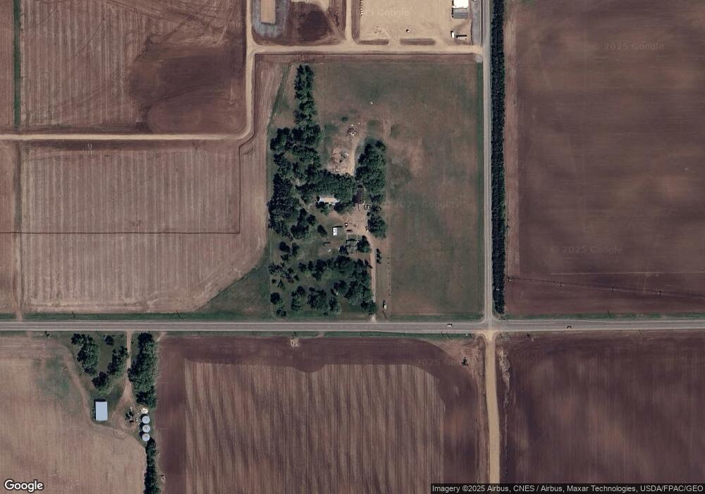
11398 River Rd SE Clear Lake, MN 55319
Estimated Value: $760,461
3
Beds
2
Baths
1,350
Sq Ft
$563/Sq Ft
Est. Value
About This Home
This home is located at 11398 River Rd SE, Clear Lake, MN 55319 and is currently estimated at $760,461, approximately $563 per square foot. 11398 River Rd SE is a home located in Sherburne County with nearby schools including Becker Primary School, Becker Intermediate Elementary School, and Becker Middle School.
Ownership History
Date
Name
Owned For
Owner Type
Purchase Details
Closed on
Oct 3, 2023
Sold by
Thorson Jeffrey S and Thorson Teresa A
Bought by
Northern States Power Company
Current Estimated Value
Purchase Details
Closed on
Jun 23, 2017
Sold by
D&V Enterprises Llc
Bought by
Thorson Jeffrey S and Thorson Teresa A
Purchase Details
Closed on
Jun 26, 2015
Sold by
Rose Julie A and Rose Allen V
Bought by
D & V Enterprises Llc
Home Financials for this Owner
Home Financials are based on the most recent Mortgage that was taken out on this home.
Original Mortgage
$186,575
Interest Rate
4.02%
Mortgage Type
Future Advance Clause Open End Mortgage
Purchase Details
Closed on
Sep 1, 2004
Sold by
Unavailable
Bought by
Rose Allen
Create a Home Valuation Report for This Property
The Home Valuation Report is an in-depth analysis detailing your home's value as well as a comparison with similar homes in the area
Home Values in the Area
Average Home Value in this Area
Purchase History
| Date | Buyer | Sale Price | Title Company |
|---|---|---|---|
| Northern States Power Company | $700,000 | Commercial Partners Title | |
| Northern States Power Company | $500 | Commercial Partners Title | |
| Thorson Jeffrey S | $255,000 | Custom Title | |
| D & V Enterprises Llc | $219,500 | Preferred Title | |
| Rose Allen | $175,000 | -- |
Source: Public Records
Mortgage History
| Date | Status | Borrower | Loan Amount |
|---|---|---|---|
| Previous Owner | D & V Enterprises Llc | $186,575 |
Source: Public Records
Tax History Compared to Growth
Tax History
| Year | Tax Paid | Tax Assessment Tax Assessment Total Assessment is a certain percentage of the fair market value that is determined by local assessors to be the total taxable value of land and additions on the property. | Land | Improvement |
|---|---|---|---|---|
| 2025 | $2,956 | $221,700 | $221,700 | $0 |
| 2024 | $3,548 | $194,700 | $194,700 | $0 |
| 2023 | $3,210 | $60,100 | $60,100 | $0 |
| 2022 | $3,244 | $308,700 | $128,000 | $180,700 |
| 2020 | $3,066 | $303,700 | $156,600 | $147,100 |
| 2019 | $2,926 | $287,800 | $142,800 | $145,000 |
| 2018 | $2,658 | $273,400 | $139,800 | $133,600 |
| 2017 | $2,920 | $244,900 | $121,300 | $123,600 |
| 2016 | $2,746 | $236,500 | $119,300 | $117,200 |
| 2015 | $2,282 | $240,900 | $127,000 | $113,900 |
| 2014 | $2,290 | $209,700 | $100,200 | $109,500 |
| 2013 | -- | $202,800 | $96,300 | $106,500 |
Source: Public Records
Map
Nearby Homes
- 10883 127th St SE
- 11252 Prairie Village Ln
- xxx Carole Dr
- 13230 Glen Cir
- 13326 Mallard Dr SE
- L1 B1 Edgewood St SE
- L1 B2 1st St SE
- 13473 Monroe Dr
- 11184 Brenda Blvd
- 11188 Katherine Ave
- 11163 Nikolas Ave
- 11166 Nikolas Ave
- 12156 Hancock St SE
- 13306 Ivy St
- 13143 Jefferson St
- 15185 Laurel St SE
- 13628 Joseph Ave
- 12158 41st Ave SE
- 12170 41st Ave SE
- 12184 41st Ave SE