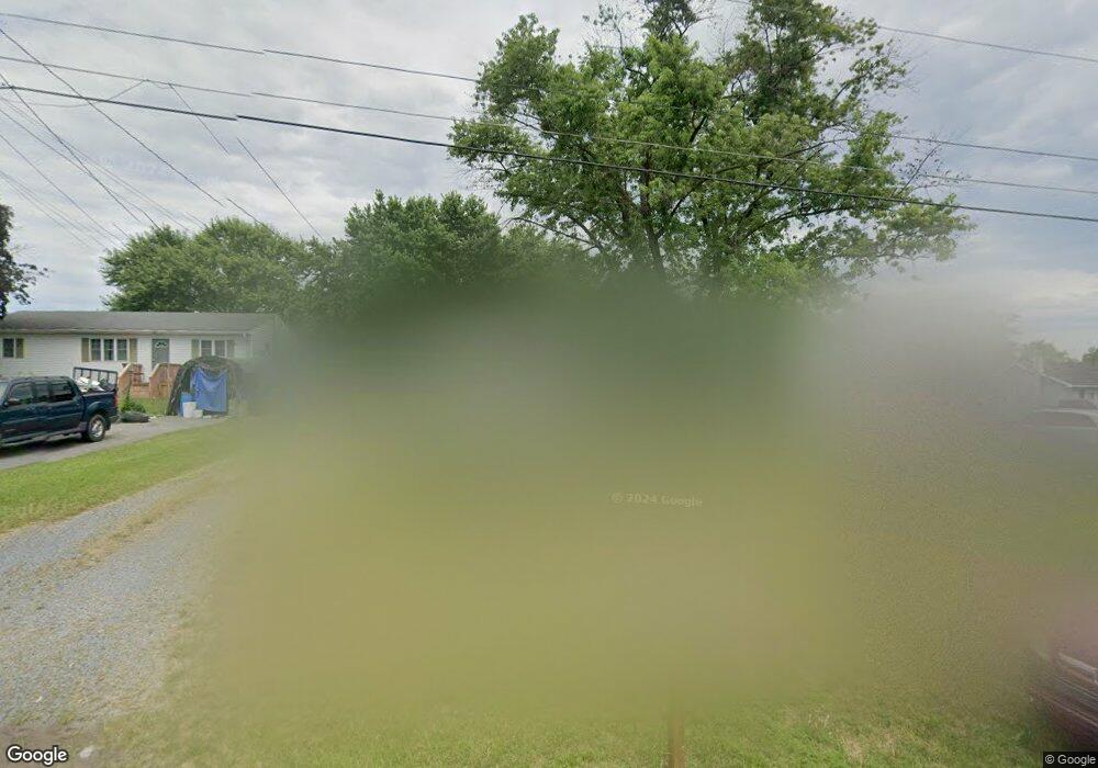
114 Dixie Belle Dr Winchester, VA 22602
Estimated Value: $308,388 - $346,000
3
Beds
1
Bath
1,056
Sq Ft
$308/Sq Ft
Est. Value
About This Home
This home is located at 114 Dixie Belle Dr, Winchester, VA 22602 and is currently estimated at $325,097, approximately $307 per square foot. 114 Dixie Belle Dr is a home located in Frederick County with nearby schools including Admiral Richard E. Byrd Middle School, Millbrook High School, and Sharon's Centre.
Ownership History
Date
Name
Owned For
Owner Type
Purchase Details
Closed on
Nov 14, 2001
Sold by
Sec Housing And Urban Dev
Bought by
Huntsberry W Scott
Current Estimated Value
Home Financials for this Owner
Home Financials are based on the most recent Mortgage that was taken out on this home.
Original Mortgage
$93,805
Outstanding Balance
$36,528
Interest Rate
6.67%
Estimated Equity
$288,569
Create a Home Valuation Report for This Property
The Home Valuation Report is an in-depth analysis detailing your home's value as well as a comparison with similar homes in the area
Home Values in the Area
Average Home Value in this Area
Purchase History
| Date | Buyer | Sale Price | Title Company |
|---|---|---|---|
| Huntsberry W Scott | $83,600 | -- |
Source: Public Records
Mortgage History
| Date | Status | Borrower | Loan Amount |
|---|---|---|---|
| Open | Huntsberry W Scott | $93,805 |
Source: Public Records
Tax History Compared to Growth
Tax History
| Year | Tax Paid | Tax Assessment Tax Assessment Total Assessment is a certain percentage of the fair market value that is determined by local assessors to be the total taxable value of land and additions on the property. | Land | Improvement |
|---|---|---|---|---|
| 2025 | $1,258 | $262,040 | $93,000 | $169,040 |
| 2024 | $559 | $219,200 | $77,000 | $142,200 |
| 2023 | $1,118 | $219,200 | $77,000 | $142,200 |
| 2022 | $1,097 | $179,800 | $72,000 | $107,800 |
| 2021 | $1,097 | $179,800 | $72,000 | $107,800 |
| 2020 | $942 | $154,500 | $72,000 | $82,500 |
| 2019 | $942 | $154,500 | $72,000 | $82,500 |
| 2018 | $901 | $147,700 | $72,000 | $75,700 |
| 2017 | $886 | $147,700 | $72,000 | $75,700 |
| 2016 | $801 | $133,500 | $59,500 | $74,000 |
| 2015 | $748 | $133,500 | $59,500 | $74,000 |
| 2014 | $382 | $129,500 | $59,500 | $70,000 |
Source: Public Records
Map
Nearby Homes
- 619 Farmington Blvd
- 251 Rossmann Blvd
- 253 Rossmann Blvd
- 102 Brockham Ct
- 100 Brockham Ct
- 117 Tye Ct
- 203 Lynnehaven Dr
- 115 Alpine Meadow Rd
- 144 Morning Glory Dr
- 128 Teaberry Dr
- 100 Maury Way
- 151 Mccormick Cir Unit 203
- 151 Mccormick Cir Unit 201
- 104 Primrose Place
- 140 Mccormick Cir Unit 403
- 2003 Senseny Rd
- 0 7 Building Lots In Shawneeland Unit VAFV2032844
- 0 Grocery Ave Unit VAFV2015654
- 112 Heath Ct
- 125 Cheshire Ct
- 116 Dixie Belle Dr
- 112 Dixie Belle Dr
- 118 Dixie Belle Dr
- 110 Dixie Belle Dr
- 120 Dixie Belle Dr
- 113 Plantation Dr
- 108 Dixie Belle Dr
- 115 Plantation Dr
- 111 Plantation Dr
- 117 Plantation Dr
- 109 Plantation Dr
- 115 Dixie Belle Dr
- 113 Dixie Belle Dr
- 106 Dixie Belle Dr
- 117 Dixie Belle Dr
- 107 Plantation Dr
- 119 Dixie Belle Dr
- 111 Dixie Belle Dr
- 53 Mason St
- 121 Dixie Belle Dr