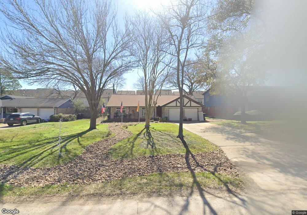
114 E Thornton Rd Houston, TX 77022
Independence Heights NeighborhoodEstimated Value: $273,672 - $332,000
3
Beds
2
Baths
1,518
Sq Ft
$200/Sq Ft
Est. Value
About This Home
This home is located at 114 E Thornton Rd, Houston, TX 77022 and is currently estimated at $304,168, approximately $200 per square foot. 114 E Thornton Rd is a home located in Harris County with nearby schools including Kennedy Elementary School, Williams Middle, and Booker T Washington Sr High.
Ownership History
Date
Name
Owned For
Owner Type
Purchase Details
Closed on
Sep 2, 2021
Sold by
Rock Solid Properties Llc
Bought by
Reeves Judith
Current Estimated Value
Home Financials for this Owner
Home Financials are based on the most recent Mortgage that was taken out on this home.
Original Mortgage
$210,000
Interest Rate
2.9%
Mortgage Type
Commercial
Purchase Details
Closed on
Jul 8, 2021
Sold by
Scott Patricia and Estate Of Violia Lewis
Bought by
Rock Solid Properties Llc
Home Financials for this Owner
Home Financials are based on the most recent Mortgage that was taken out on this home.
Original Mortgage
$210,000
Interest Rate
2.9%
Mortgage Type
Commercial
Create a Home Valuation Report for This Property
The Home Valuation Report is an in-depth analysis detailing your home's value as well as a comparison with similar homes in the area
Home Values in the Area
Average Home Value in this Area
Purchase History
| Date | Buyer | Sale Price | Title Company |
|---|---|---|---|
| Reeves Judith | -- | Priority Title Company | |
| Rock Solid Properties Llc | -- | Capital Title |
Source: Public Records
Mortgage History
| Date | Status | Borrower | Loan Amount |
|---|---|---|---|
| Previous Owner | Rock Solid Properties Llc | $210,000 |
Source: Public Records
Tax History Compared to Growth
Tax History
| Year | Tax Paid | Tax Assessment Tax Assessment Total Assessment is a certain percentage of the fair market value that is determined by local assessors to be the total taxable value of land and additions on the property. | Land | Improvement |
|---|---|---|---|---|
| 2025 | $562 | $266,721 | $166,125 | $100,596 |
| 2024 | $562 | $284,939 | $166,125 | $118,814 |
| 2023 | $562 | $249,924 | $132,900 | $117,024 |
| 2022 | $5,156 | $234,143 | $132,900 | $101,243 |
| 2021 | $5,042 | $216,347 | $132,900 | $83,447 |
| 2020 | $4,325 | $178,606 | $66,450 | $112,156 |
| 2019 | $4,451 | $175,904 | $66,450 | $109,454 |
| 2018 | $3,554 | $140,436 | $38,763 | $101,673 |
| 2017 | $3,551 | $140,436 | $38,763 | $101,673 |
| 2016 | $3,442 | $136,136 | $27,688 | $108,448 |
| 2015 | $2,416 | $111,280 | $27,688 | $83,592 |
| 2014 | $2,416 | $93,971 | $27,688 | $66,283 |
Source: Public Records
Map
Nearby Homes
- 115 E Thornton Rd
- 4510 Old Yale St Unit A
- 147 Knightsbridge Park Ln
- 144 Knightsbridge Park Ln
- 4605 Yale St Unit C
- 4605 Yale St Unit A
- 4605 Yale St Unit J
- 320 Thornton Rd
- 4423 Yale St
- 4707 Thornton Villas Ln
- 4435 Whitney Oak Ln
- 4710 Thornton Villas Ln
- 107 W Whitney St Unit E
- 107 W Whitney St Unit C
- 4606 Crown Grove Ln
- 4604 Crown Grove Ln
- 407 Sikes St
- 405 Alvia Run Ln
- 409 Alvia Run Ln
- 413 Sikes St
- 110 E Thornton Rd
- 118 E Thornton Rd
- 111 Knights Bridge Park Ln
- 113 Knights Bridge Park Ln
- 109 Knights Bridge Park Ln
- 111 Knightsbridge Park Ln
- 115 Knights Bridge Park Ln
- 107 Knights Bridge Park Ln
- 117 Knightsbridge Park Ln
- 117 Knights Bridge Park Ln
- 106 E Thornton Rd
- 105 Knights Bridge Park Ln
- 119 Knights Bridge Park Ln
- 122 E Thornton Rd
- 121 Knights Bridge Park Ln
- 110 Knights Bridge Park Ln
- 112 Knights Bridge Park Ln
- 123 Knights Bridge Park Ln
- 108 Knightsbridge Park Ln
- 108 Knights Bridge Park Ln