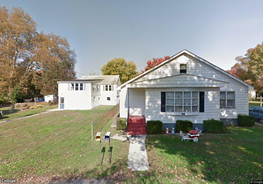
114 Main St Deepwater, NJ 08023
Estimated Value: $179,000 - $319,000
3
Beds
2
Baths
1,400
Sq Ft
$183/Sq Ft
Est. Value
About This Home
This home is located at 114 Main St, Deepwater, NJ 08023 and is currently estimated at $256,785, approximately $183 per square foot. 114 Main St is a home located in Salem County with nearby schools including Lafayette-Pershing Elementary School, Paul W. Carleton Elementary School, and Field Street Elementary School.
Ownership History
Date
Name
Owned For
Owner Type
Purchase Details
Closed on
Mar 31, 2022
Sold by
Richard Stroik
Bought by
Messer Barry G
Current Estimated Value
Home Financials for this Owner
Home Financials are based on the most recent Mortgage that was taken out on this home.
Original Mortgage
$10,801
Outstanding Balance
$10,115
Interest Rate
4.67%
Estimated Equity
$246,670
Purchase Details
Closed on
May 30, 2007
Sold by
Orsetti Joscelyne
Bought by
Orsetti Brian T
Purchase Details
Closed on
Oct 1, 2004
Sold by
Lauer Rita F
Bought by
Orsetti Brian T and Evjy Joscelyne
Home Financials for this Owner
Home Financials are based on the most recent Mortgage that was taken out on this home.
Original Mortgage
$116,975
Interest Rate
5.84%
Mortgage Type
FHA
Purchase Details
Closed on
Jul 26, 2002
Sold by
Zane Lewis E and Zane Maria J
Bought by
Lauer Rita
Create a Home Valuation Report for This Property
The Home Valuation Report is an in-depth analysis detailing your home's value as well as a comparison with similar homes in the area
Home Values in the Area
Average Home Value in this Area
Purchase History
| Date | Buyer | Sale Price | Title Company |
|---|---|---|---|
| Messer Barry G | $220,000 | Foundation Title | |
| Orsetti Brian T | -- | -- | |
| Orsetti Brian T | $117,900 | -- | |
| Lauer Rita | $86,900 | Intercoastal Title Agency In |
Source: Public Records
Mortgage History
| Date | Status | Borrower | Loan Amount |
|---|---|---|---|
| Open | Messer Barry G | $10,801 | |
| Open | Messer Barry G | $216,015 | |
| Previous Owner | Orsetti Brian T | $116,975 |
Source: Public Records
Tax History Compared to Growth
Tax History
| Year | Tax Paid | Tax Assessment Tax Assessment Total Assessment is a certain percentage of the fair market value that is determined by local assessors to be the total taxable value of land and additions on the property. | Land | Improvement |
|---|---|---|---|---|
| 2025 | $4,421 | $181,800 | $40,000 | $141,800 |
| 2024 | $4,268 | $119,900 | $19,600 | $100,300 |
| 2023 | $4,268 | $119,900 | $19,600 | $100,300 |
| 2022 | $4,017 | $119,900 | $19,600 | $100,300 |
| 2021 | $3,966 | $119,900 | $19,600 | $100,300 |
| 2020 | $4,013 | $119,900 | $19,600 | $100,300 |
| 2019 | $4,047 | $119,900 | $19,600 | $100,300 |
| 2018 | $4,097 | $130,100 | $22,800 | $107,300 |
| 2017 | $3,820 | $130,100 | $22,800 | $107,300 |
| 2016 | $3,681 | $130,100 | $22,800 | $107,300 |
| 2015 | $3,509 | $130,100 | $22,800 | $107,300 |
| 2014 | $3,321 | $130,100 | $22,800 | $107,300 |
Source: Public Records
Map
Nearby Homes
- 12 Chester Ave
- 62 Penns Ave
- 16 Pine St
- 5 Harrison St
- 40 Filmore St
- 239 Pin Oak Dr
- 94 White Oak Dr
- 604 Hawks Bridge Rd
- 1 Victory Ave Unit 84
- 1 Victory Ave Unit 82
- 1 Victory Ave Unit 74
- 1 Victory Ave Unit 72
- 1 Victory Ave Unit 8
- 1 Victory Ave Unit 93
- 1 Victory Ave
- 1 Victory Ave Unit 56
- 1 Victory Ave Unit 22
- 609 Hawks Bridge Rd
- 613 Soders Rd
- 613 Hawks Bridge Rd