114 Willcort Dr Kings Mountain, NC 28086
Estimated Value: $264,286 - $315,000
--
Bed
--
Bath
1,316
Sq Ft
$223/Sq Ft
Est. Value
About This Home
This home is located at 114 Willcort Dr, Kings Mountain, NC 28086 and is currently estimated at $293,822, approximately $223 per square foot. 114 Willcort Dr is a home located in Cleveland County with nearby schools including Grover Elementary School, Kings Mountain Middle, and Kings Mountain Intermediate School.
Ownership History
Date
Name
Owned For
Owner Type
Purchase Details
Closed on
Apr 16, 2010
Sold by
Phillips Jonathan Max and Phillips Windy Bagwell
Bought by
Phillips Windy Bagwell
Current Estimated Value
Purchase Details
Closed on
Oct 12, 2005
Sold by
Rdf Construction Company Inc No 2
Bought by
Philiips Jonathan Max and Philiips Windy Bagwell
Home Financials for this Owner
Home Financials are based on the most recent Mortgage that was taken out on this home.
Original Mortgage
$24,100
Interest Rate
5.71%
Mortgage Type
Balloon
Create a Home Valuation Report for This Property
The Home Valuation Report is an in-depth analysis detailing your home's value as well as a comparison with similar homes in the area
Home Values in the Area
Average Home Value in this Area
Purchase History
| Date | Buyer | Sale Price | Title Company |
|---|---|---|---|
| Phillips Windy Bagwell | -- | None Available | |
| Philiips Jonathan Max | $126,000 | None Available |
Source: Public Records
Mortgage History
| Date | Status | Borrower | Loan Amount |
|---|---|---|---|
| Closed | Philiips Jonathan Max | $24,100 | |
| Open | Philiips Jonathan Max | $96,400 |
Source: Public Records
Tax History Compared to Growth
Tax History
| Year | Tax Paid | Tax Assessment Tax Assessment Total Assessment is a certain percentage of the fair market value that is determined by local assessors to be the total taxable value of land and additions on the property. | Land | Improvement |
|---|---|---|---|---|
| 2025 | $1,664 | $262,002 | $27,300 | $234,702 |
| 2024 | $1,541 | $183,737 | $18,200 | $165,537 |
| 2023 | $1,533 | $183,737 | $18,200 | $165,537 |
| 2022 | $1,533 | $183,737 | $18,200 | $165,537 |
| 2021 | $1,539 | $183,737 | $18,200 | $165,537 |
| 2020 | $1,209 | $137,167 | $15,015 | $122,152 |
| 2019 | $1,209 | $137,167 | $15,015 | $122,152 |
| 2018 | $1,204 | $137,167 | $15,015 | $122,152 |
| 2017 | $1,198 | $137,167 | $15,015 | $122,152 |
| 2016 | $1,146 | $137,167 | $15,015 | $122,152 |
| 2015 | $1,072 | $133,336 | $13,650 | $119,686 |
| 2014 | $1,072 | $133,336 | $13,650 | $119,686 |
Source: Public Records
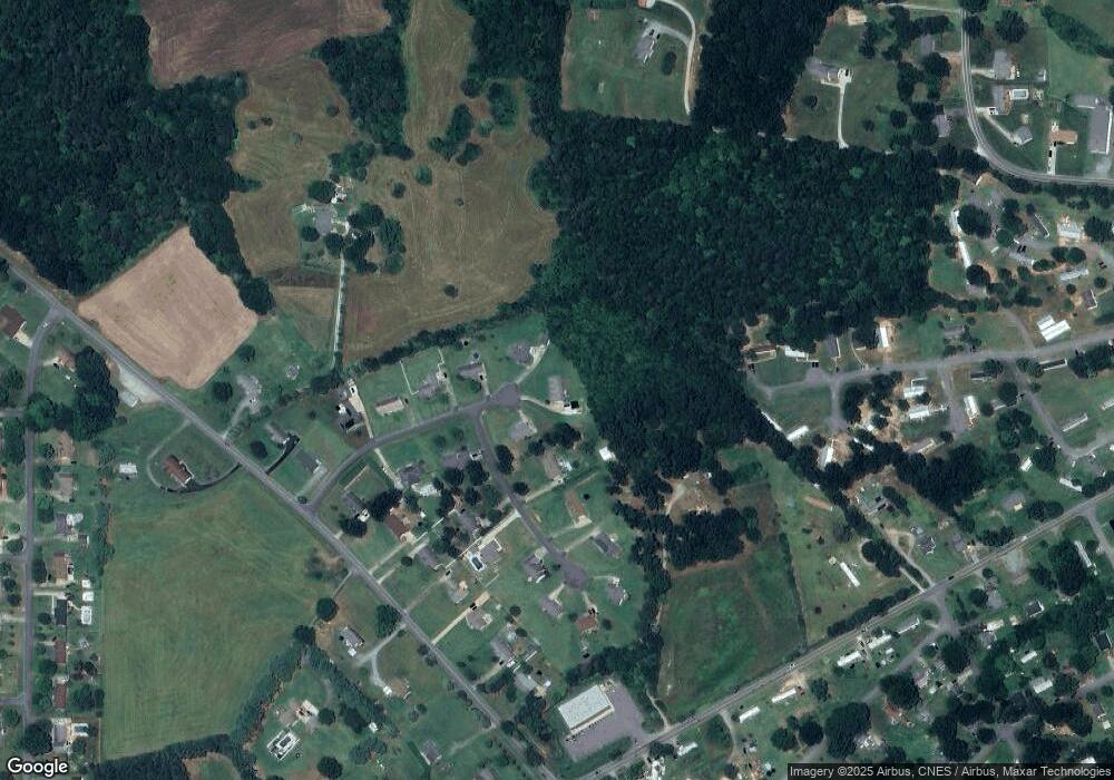
Map
Nearby Homes
- 1425 Bethlehem Rd
- 107 Connor Ct
- 209 Fairdale St
- 107 Tara Terrace
- 000 Bethlehem Rd
- 215 Chadwick Dr
- 106 Raintree Dr
- 610 Margrace Rd
- 107 Arrowood Dr
- 163 Kipling Ln
- 180 Rosedale St
- 907 Bethlehem Rd
- 130 Benton Rd
- 411 El Bethel Rd
- 226 Caley St
- 107 Frank Burns Way
- 707 Sandalwood Ln
- 223 Frank Burns Way
- 716 Mcdaniel Rd
- 400 El Bethel Rd
- 112 Willcort Dr
- 113 Willcort Dr
- 103 Carol Lyn Rd
- 111 Willcort Dr
- 107 Carol Lyn Dr
- 107 Carol Lyn Rd
- 108 Willcort Dr
- 107 Willcort Dr
- 104 Carol Lyn Rd
- 109 Carol Lyn Rd
- 106 Willcort Dr
- 106 Carol Lyn Rd
- 914 Margrace Rd
- 105 Willcort Dr
- 110 Carol Lyn Rd
- 111 Carol Lyn Rd
- 103 Willcort Dr
- 1427 Bethlehem Rd
- 1423 Bethlehem Rd
- 112 Carol Lyn Rd