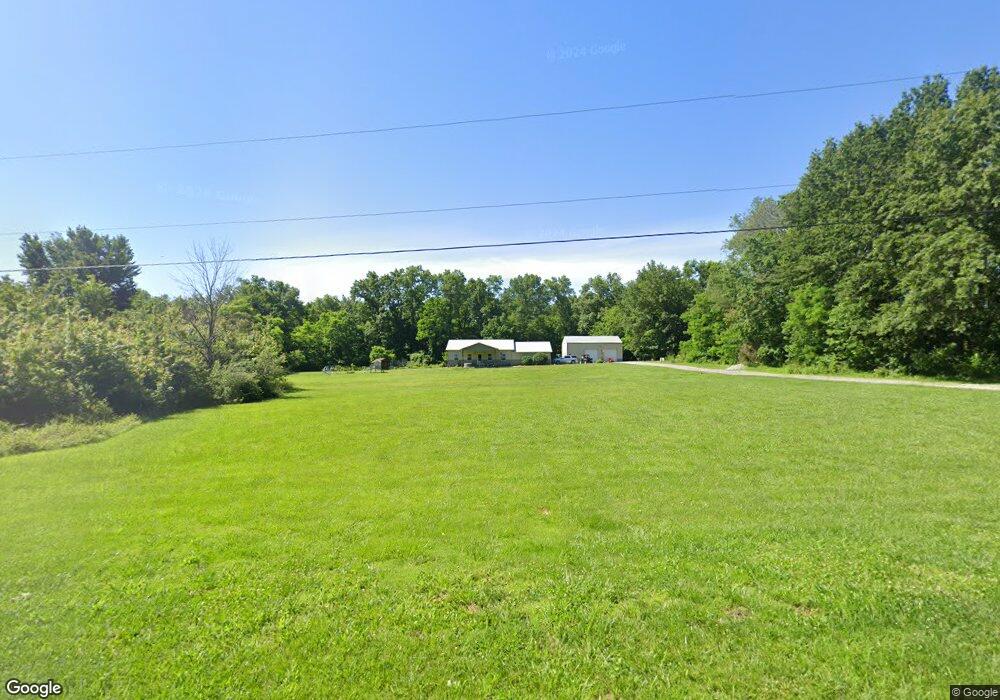
11423 E Radio Tower Ln Mount Vernon, IL 62864
Estimated Value: $85,000 - $198,000
--
Bed
--
Bath
--
Sq Ft
5
Acres
About This Home
This home is located at 11423 E Radio Tower Ln, Mount Vernon, IL 62864 and is currently estimated at $161,416. 11423 E Radio Tower Ln is a home located in Jefferson County with nearby schools including Rome Grade School, Mount Vernon High School, and St Marys.
Ownership History
Date
Name
Owned For
Owner Type
Purchase Details
Closed on
Aug 25, 2008
Sold by
Meyer Jeffrey E and Meyer Tracie L
Bought by
Mays Bety
Current Estimated Value
Purchase Details
Closed on
Mar 20, 2005
Sold by
Orrick John
Bought by
Meyer Jeffrey E and Meyer Tracie L
Home Financials for this Owner
Home Financials are based on the most recent Mortgage that was taken out on this home.
Original Mortgage
$23,484
Interest Rate
6.57%
Mortgage Type
Purchase Money Mortgage
Create a Home Valuation Report for This Property
The Home Valuation Report is an in-depth analysis detailing your home's value as well as a comparison with similar homes in the area
Home Values in the Area
Average Home Value in this Area
Purchase History
| Date | Buyer | Sale Price | Title Company |
|---|---|---|---|
| Mays Bety | $27,000 | None Available | |
| Meyer Jeffrey E | $28,500 | Quad County Title Co Inc |
Source: Public Records
Mortgage History
| Date | Status | Borrower | Loan Amount |
|---|---|---|---|
| Previous Owner | Meyer Jeffrey E | $23,484 |
Source: Public Records
Tax History Compared to Growth
Tax History
| Year | Tax Paid | Tax Assessment Tax Assessment Total Assessment is a certain percentage of the fair market value that is determined by local assessors to be the total taxable value of land and additions on the property. | Land | Improvement |
|---|---|---|---|---|
| 2024 | $2,449 | $51,254 | $10,880 | $40,374 |
| 2023 | $2,533 | $51,254 | $10,880 | $40,374 |
| 2022 | $2,312 | $43,435 | $3,853 | $39,582 |
| 2021 | $1,598 | $30,065 | $3,853 | $26,212 |
| 2020 | $1,607 | $28,098 | $3,601 | $24,497 |
| 2019 | $1,603 | $28,098 | $3,601 | $24,497 |
| 2018 | $1,589 | $28,098 | $3,601 | $24,497 |
| 2017 | $1,564 | $28,098 | $3,601 | $24,497 |
| 2016 | $1,535 | $28,098 | $3,601 | $24,497 |
| 2015 | $1,510 | $28,098 | $3,601 | $24,497 |
| 2014 | $869 | $28,098 | $3,601 | $24,497 |
| 2013 | $869 | $27,819 | $3,565 | $24,254 |
Source: Public Records
Map
Nearby Homes
- 11657 E Radio Tower Rd
- 11675 E Radio Tower Rd
- 0000 N Stone Ln
- 17315 N Old Salem Ln
- Tract 2 N Mcdermott Ln
- Tract 4 N Mcdermott Ln
- Tract 6 N Mcdermott Ln
- Tract 1 N Mcdermott Ln
- Tract 3 N Mcdermott Ln
- Tract 5 N Mcdermott Ln
- Tract 7 N Mcdermott Ln
- 11799 E Webb Rd
- 3501 (Lot 11) Ridgecrest Dr
- 3401 (Lot 13) Ridgecrest Dr
- 3601 (Lot 9) Ridgecrest Dr
- 3600 (Lot18) Ridgecrest Dr
- 3551 (Lot 10) Ridgecrest Dr
- 3440 (Lot 14) Ridgecrest Dr
- 3640 (Lot 19) Ridgecrest Dr
- 9758 E Richview Rd
- 11509 E Radio Tower Rd
- 11663 E Radio Tower Rd
- 16575 N Stone Ln
- 16499 N Stone Ln
- 16663 N Radio Tower Ln
- 11244 E Radio Tower Rd
- 11244 E Radio Tower Rd
- 16983 N Stone Ln
- 16198 N Hawthorne Ln
- 16473 N Hawthorne Ln
- 16737 N Radio Tower Ln
- 16928 N Stone Ln
- 16459 N Hawthorne Ln
- 16488 N Hawthorne Ln
- 16978 N Stone Ln
- 11701 E Pebble Rd
- 16395 N Hawthorne Ln
- 16460 N Hawthorne Ln
- 17079 N Stone Ln
- 11609 E Pebble Rd