1143 Moontown Rd Brownsboro, AL 35741
Moontown NeighborhoodEstimated Value: $457,335
--
Bed
1
Bath
2,788
Sq Ft
$164/Sq Ft
Est. Value
About This Home
This home is located at 1143 Moontown Rd, Brownsboro, AL 35741 and is currently estimated at $457,335, approximately $164 per square foot. 1143 Moontown Rd is a home located in Madison County with nearby schools including Central School and Madison County High School.
Ownership History
Date
Name
Owned For
Owner Type
Purchase Details
Closed on
Feb 16, 2010
Sold by
Long Edward L and Long Gracie
Bought by
Ammons Properties Llc
Current Estimated Value
Home Financials for this Owner
Home Financials are based on the most recent Mortgage that was taken out on this home.
Original Mortgage
$160,000
Interest Rate
4.97%
Mortgage Type
Future Advance Clause Open End Mortgage
Create a Home Valuation Report for This Property
The Home Valuation Report is an in-depth analysis detailing your home's value as well as a comparison with similar homes in the area
Home Values in the Area
Average Home Value in this Area
Purchase History
| Date | Buyer | Sale Price | Title Company |
|---|---|---|---|
| Ammons Properties Llc | -- | -- |
Source: Public Records
Mortgage History
| Date | Status | Borrower | Loan Amount |
|---|---|---|---|
| Closed | Ammons Properties Llc | $160,000 |
Source: Public Records
Tax History Compared to Growth
Tax History
| Year | Tax Paid | Tax Assessment Tax Assessment Total Assessment is a certain percentage of the fair market value that is determined by local assessors to be the total taxable value of land and additions on the property. | Land | Improvement |
|---|---|---|---|---|
| 2024 | $1,818 | $49,820 | $12,420 | $37,400 |
| 2023 | $1,781 | $48,820 | $12,420 | $36,400 |
| 2022 | $1,578 | $44,240 | $12,420 | $31,820 |
| 2021 | $1,453 | $40,820 | $12,420 | $28,400 |
| 2020 | $1,400 | $38,860 | $12,420 | $26,440 |
| 2019 | $1,345 | $37,880 | $12,420 | $25,460 |
| 2018 | $1,242 | $35,040 | $0 | $0 |
| 2017 | $1,242 | $35,040 | $0 | $0 |
| 2016 | $1,242 | $35,040 | $0 | $0 |
| 2015 | $1,242 | $35,040 | $0 | $0 |
| 2014 | $1,233 | $34,800 | $0 | $0 |
Source: Public Records
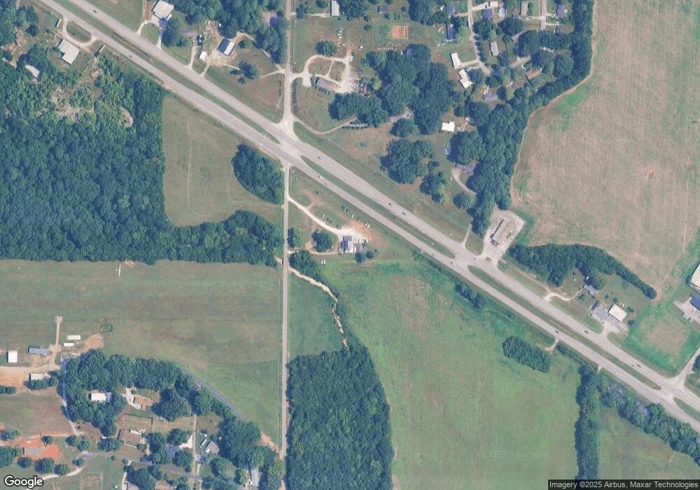
Map
Nearby Homes
- 160 Airport Dr
- PPin#507136 Moontown Rd
- 227 Midland Dr
- 223 Midland Dr
- 230 Oakland View Dr
- 224 Oakland View Dr
- 220 Oakland View Dr
- 233 Oakland View Dr
- 205 Oakland View Dr
- TBD Petty Ln
- 136 Petty Ln
- 2349 Dug Hill Rd
- 111 Cool Cir
- 215 Teague Rd
- 40 Acres Berry Rd
- 123 Delta Pine Dr
- 483 Moontown Rd
- 477 Moontown Rd
- 172 Day Dr
- Ionia III H Plan at Cedar Gap Estates
- PIN 507136 Moontown Rd
- 0 Moontown Rd
- 1113 Moontown Rd
- 3751 Highway 72 E
- 155 Jones Cir
- 151 Jones Cir
- 157 Jones Cir
- 000 W Hwy 72
- 144 Airport Dr
- 145 Jones Cir
- 1025 Moontown Rd
- 167 Jones Cir
- 1252 Moontown Rd
- 131 Morring Ln
- 158 Jones Cir
- 141 Jones Cir
- 173 Jones Cir
- 72 E Highway 72 E
- 136 Jones Cir
- 139 Morring Ln