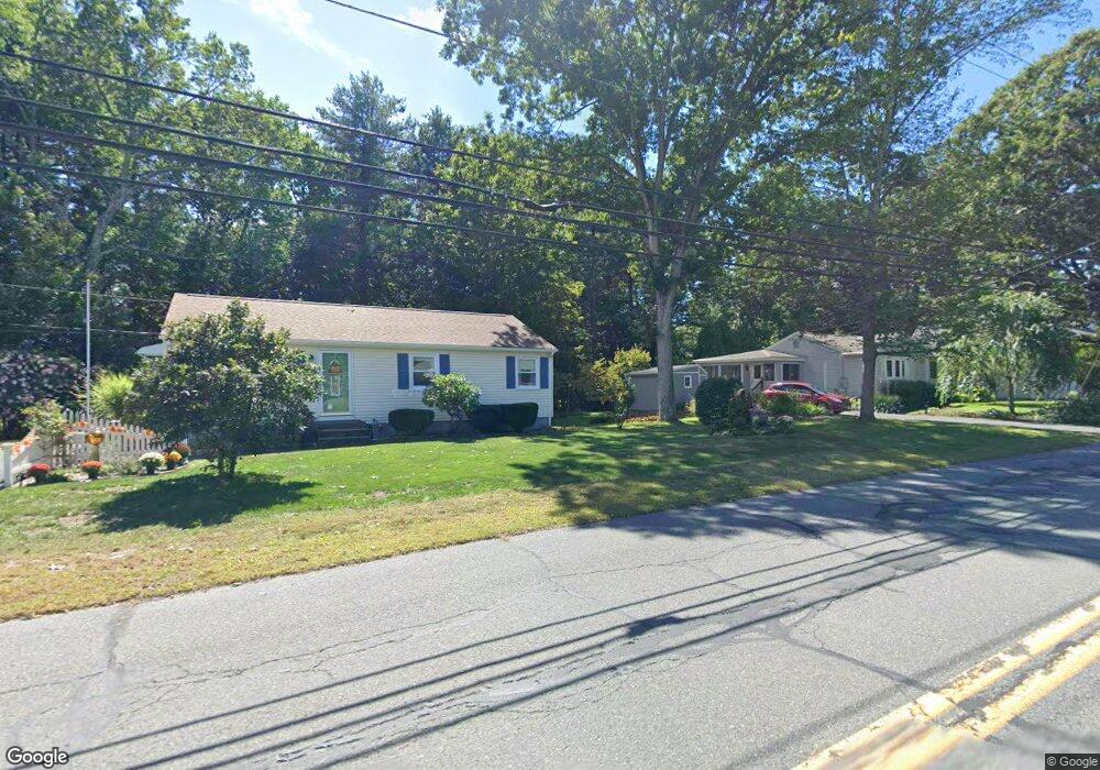
1144 Burts Pit Rd Florence, MA 01062
Florence NeighborhoodEstimated Value: $379,000 - $436,000
3
Beds
2
Baths
1,112
Sq Ft
$362/Sq Ft
Est. Value
About This Home
This home is located at 1144 Burts Pit Rd, Florence, MA 01062 and is currently estimated at $402,878, approximately $362 per square foot. 1144 Burts Pit Rd is a home located in Hampshire County with nearby schools including Northampton High School and Hilltown Cooperative Charter Public School.
Ownership History
Date
Name
Owned For
Owner Type
Purchase Details
Closed on
May 23, 1990
Sold by
Mckenna John A
Bought by
Oleary Steven J
Current Estimated Value
Create a Home Valuation Report for This Property
The Home Valuation Report is an in-depth analysis detailing your home's value as well as a comparison with similar homes in the area
Home Values in the Area
Average Home Value in this Area
Purchase History
| Date | Buyer | Sale Price | Title Company |
|---|---|---|---|
| Oleary Steven J | $93,400 | -- |
Source: Public Records
Mortgage History
| Date | Status | Borrower | Loan Amount |
|---|---|---|---|
| Open | Oleary Steven J | $88,000 | |
| Closed | Oleary Steven J | $10,000 | |
| Closed | Oleary Steven J | $80,500 | |
| Closed | Oleary Steven J | $82,000 |
Source: Public Records
Tax History Compared to Growth
Tax History
| Year | Tax Paid | Tax Assessment Tax Assessment Total Assessment is a certain percentage of the fair market value that is determined by local assessors to be the total taxable value of land and additions on the property. | Land | Improvement |
|---|---|---|---|---|
| 2025 | $5,288 | $379,600 | $121,600 | $258,000 |
| 2024 | $4,903 | $322,800 | $121,600 | $201,200 |
| 2023 | $4,657 | $294,000 | $110,500 | $183,500 |
| 2022 | $4,412 | $246,600 | $110,500 | $136,100 |
| 2021 | $3,715 | $213,900 | $105,500 | $108,400 |
| 2020 | $3,594 | $213,900 | $105,500 | $108,400 |
| 2019 | $3,372 | $194,100 | $90,500 | $103,600 |
| 2018 | $3,423 | $200,900 | $90,500 | $110,400 |
| 2017 | $3,353 | $200,900 | $90,500 | $110,400 |
| 2016 | $3,247 | $200,900 | $90,500 | $110,400 |
| 2015 | $3,094 | $195,800 | $90,500 | $105,300 |
| 2014 | $3,013 | $195,800 | $90,500 | $105,300 |
Source: Public Records
Map
Nearby Homes
- 138 Overlook Dr
- 815 Burts Pit Rd
- 39 Matthew Dr
- 167 Emerson Way
- 832 Westhampton Rd
- 0 W Farms Rd
- 723 Florence Rd
- 95 Autumn Dr
- 404 Sylvester Rd
- 20-11 Sylvester Rd
- 98 Park Hill Rd
- 325 Riverside Dr
- 321 Riverside Dr
- 225 Nonotuck St Unit C
- 37 Landy Ave
- 11 Norwood Ave
- 1260 Westhampton Rd
- 67 Park St Unit A
- 67 Park St Unit B
- 67 Park St Unit D
- 1136 Burts Pit Rd
- 1152 Burts Pit Rd
- 1143 Burts Pit Rd
- 5 Cahillane Terrace
- 1135 Burts Pit Rd
- 1160 Burts Pit Rd
- 10 Forest Glen Dr
- 15 Cahillane Terrace
- 6 Cahillane Terrace
- 1120 Burts Pit Rd
- 62 W Parsons Ln
- 1174 Burts Pit Rd
- 1123 Burts Pit Rd
- 12 Cahillane Terrace
- 27 Cahillane Terrace
- 1173 Burts Pit Rd
- 16 Forest Glen Dr
- 1112 Burts Pit Rd
- 89 Drewsen Dr
- 1113 Burts Pit Rd