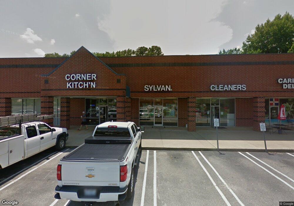
11453 Us 70 Business Hwy W Clayton, NC 27520
Estimated Value: $479,474
--
Bed
--
Bath
1,560
Sq Ft
$307/Sq Ft
Est. Value
About This Home
This home is located at 11453 Us 70 Business Hwy W, Clayton, NC 27520 and is currently estimated at $479,474, approximately $307 per square foot. 11453 Us 70 Business Hwy W is a home located in Johnston County with nearby schools including Cooper Academy, Riverwood Middle School, and Clayton High.
Ownership History
Date
Name
Owned For
Owner Type
Purchase Details
Closed on
Jun 8, 2006
Sold by
Pugh Barbara R
Bought by
Zheng Mei Hua
Current Estimated Value
Home Financials for this Owner
Home Financials are based on the most recent Mortgage that was taken out on this home.
Original Mortgage
$100,000
Interest Rate
6.67%
Mortgage Type
Commercial
Purchase Details
Closed on
Dec 10, 2002
Sold by
Pugh Barbara R
Bought by
Pugh Barbara R
Create a Home Valuation Report for This Property
The Home Valuation Report is an in-depth analysis detailing your home's value as well as a comparison with similar homes in the area
Home Values in the Area
Average Home Value in this Area
Purchase History
| Date | Buyer | Sale Price | Title Company |
|---|---|---|---|
| Zheng Mei Hua | $184,000 | None Available | |
| Pugh Barbara R | -- | -- | |
| Sundown Properties Inc | $180,000 | -- |
Source: Public Records
Mortgage History
| Date | Status | Borrower | Loan Amount |
|---|---|---|---|
| Closed | Zheng Mei Hua | $40,000 | |
| Previous Owner | Zheng Mei Hua | $100,000 |
Source: Public Records
Tax History Compared to Growth
Tax History
| Year | Tax Paid | Tax Assessment Tax Assessment Total Assessment is a certain percentage of the fair market value that is determined by local assessors to be the total taxable value of land and additions on the property. | Land | Improvement |
|---|---|---|---|---|
| 2025 | $2,837 | $280,890 | $0 | $280,890 |
| 2024 | $2,721 | $206,120 | $0 | $206,120 |
| 2023 | $2,659 | $206,120 | $0 | $206,120 |
| 2022 | $2,741 | $206,120 | $0 | $206,120 |
| 2021 | $2,700 | $206,120 | $0 | $206,120 |
| 2020 | $2,762 | $206,120 | $0 | $206,120 |
| 2019 | $2,762 | $206,120 | $0 | $206,120 |
| 2018 | $0 | $194,100 | $43,550 | $150,550 |
| 2017 | $2,582 | $194,100 | $43,550 | $150,550 |
| 2016 | $2,582 | $194,100 | $43,550 | $150,550 |
| 2014 | -- | $194,100 | $43,550 | $150,550 |
Source: Public Records
Map
Nearby Homes
- 1509 Kenmore Dr
- 113 Sturbridge Dr Unit 113
- 342 Durwin Ln
- 510 Willow Dr
- 200 Hocutt Dr
- 320 Virginia St
- 709 W Horne St
- 203 W Blanche St
- 201 Liam St
- 191 Liam St
- 48 Enterprise Dr
- 303 W Second St
- 218 Palomino Way
- 221 Palomino Way
- 245 Palomino Way
- 111 Cheyenne Dr
- 316 Barbour St
- 84 Cheyenne Dr
- 521 S Lombard St
- 315 Barbour St
- 11491 U S 70
- 11505 Us 70 Hwy W
- 11547 Us 70 Business Hwy W
- 11444 U S 70 Business
- 11450 Us 70 Business Hwy W
- 11448 Us 70 Business Hwy W
- 11444 Us 70 Business Hwy W
- 1070 Kenmore Dr
- 1070 Kenmore Dr
- 73 Amelia Church Rd
- 617-621 Carter St
- 525-529 Carter St
- 709 Carter St
- 517 Carter St
- 729 Carter St
- 00 Amelia Church Rd
- 77 Amelia Church Rd
- 616 Carter St
- 227 Brick Kiln Loop
- 249 Brick Kiln Loop
