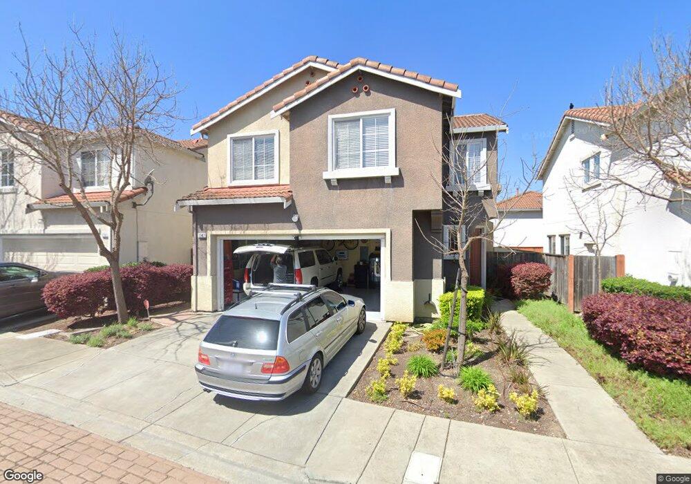
1147 Queensland Dr San Pablo, CA 94806
Hilltop/Montalvin NeighborhoodEstimated Value: $726,000 - $761,228
4
Beds
3
Baths
1,618
Sq Ft
$462/Sq Ft
Est. Value
About This Home
This home is located at 1147 Queensland Dr, San Pablo, CA 94806 and is currently estimated at $747,057, approximately $461 per square foot. 1147 Queensland Dr is a home located in Contra Costa County with nearby schools including Bayview Elementary School, Betty Reid Soskin Middle School, and De Anza Senior High School.
Ownership History
Date
Name
Owned For
Owner Type
Purchase Details
Closed on
Apr 22, 2005
Sold by
First American Title Insurance Co
Bought by
Sigua Leonardo O and Sigua Naomi S
Current Estimated Value
Home Financials for this Owner
Home Financials are based on the most recent Mortgage that was taken out on this home.
Original Mortgage
$463,900
Outstanding Balance
$179,306
Interest Rate
2%
Mortgage Type
Purchase Money Mortgage
Estimated Equity
$567,752
Create a Home Valuation Report for This Property
The Home Valuation Report is an in-depth analysis detailing your home's value as well as a comparison with similar homes in the area
Home Values in the Area
Average Home Value in this Area
Purchase History
| Date | Buyer | Sale Price | Title Company |
|---|---|---|---|
| Sigua Leonardo O | $580,000 | First American Title |
Source: Public Records
Mortgage History
| Date | Status | Borrower | Loan Amount |
|---|---|---|---|
| Open | Sigua Leonardo O | $463,900 | |
| Closed | Sigua Leonardo O | $58,000 |
Source: Public Records
Tax History Compared to Growth
Tax History
| Year | Tax Paid | Tax Assessment Tax Assessment Total Assessment is a certain percentage of the fair market value that is determined by local assessors to be the total taxable value of land and additions on the property. | Land | Improvement |
|---|---|---|---|---|
| 2025 | $12,453 | $764,000 | $394,019 | $369,981 |
| 2024 | $11,527 | $764,000 | $394,019 | $369,981 |
| 2023 | $11,527 | $702,000 | $362,000 | $340,000 |
| 2022 | $11,563 | $702,000 | $362,000 | $340,000 |
| 2021 | $10,041 | $588,000 | $303,000 | $285,000 |
| 2019 | $9,344 | $560,000 | $288,810 | $271,190 |
| 2018 | $8,318 | $499,500 | $257,608 | $241,892 |
| 2017 | $8,323 | $490,000 | $252,709 | $237,291 |
| 2016 | $7,249 | $412,000 | $212,481 | $199,519 |
| 2015 | $6,624 | $365,500 | $188,500 | $177,000 |
| 2014 | $5,983 | $318,500 | $164,260 | $154,240 |
Source: Public Records
Map
Nearby Homes
- 1028 Landmark Ct
- 3614 Skypark Place
- 162 Christine Dr
- 1078 Rachel Rd
- 321 Hawk Ridge Dr
- 3754 Stoneglen N Unit 8
- 3784 Stoneglen N Unit N
- 2753 East Ct Unit 9
- 2742 East Ct Unit 2
- 339 Montalvin Dr
- 3675 West Ct
- 124 Zandra Ct
- 447 Christine Dr
- 1074 Lettia Rd
- 5508 Vista Ct
- 5509 Vista Ct
- 1150 Summer Ln
- 0 Shamrock Dr
- 1339 Lettia Rd
- 2552 Treeside Way
- 1143 Queensland Dr
- 1151 Queensland Dr
- 1160 Bonneville Ct
- 1156 Bonneville Ct
- 1123 Eaglewood Ct
- 1164 Bonneville Ct
- 1119 Eaglewood Ct
- 1127 Eaglewood Ct
- 1165 Bonneville Ct
- 1144 Clearview Ct
- 1173 Bonneville Ct
- 1177 Waverly Cir
- 1177 Waverly Dr
- 1169 Bonneville Ct
- 1131 Arrowhead Ct
- 1120 Eaglewood Ct
- 1116 Eaglewood Ct
- 1181 Clearview Ct
- 1124 Eaglewood Ct
- 1128 Eaglewood Ct