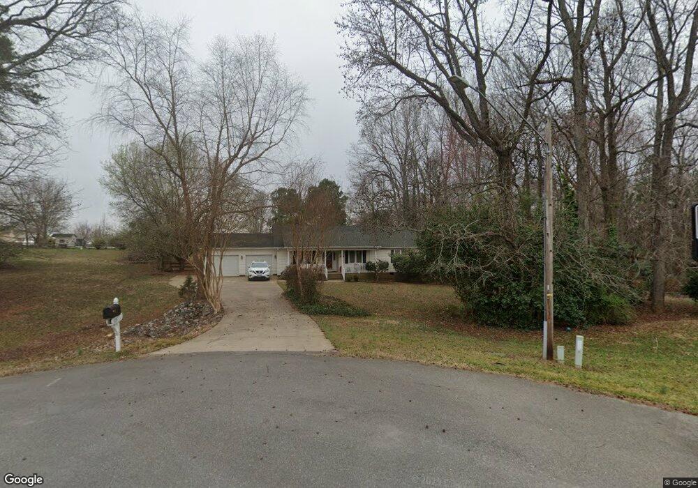
115 Austin Dr Boiling Springs, NC 28017
Estimated Value: $407,000 - $445,000
--
Bed
--
Bath
2,017
Sq Ft
$211/Sq Ft
Est. Value
About This Home
This home is located at 115 Austin Dr, Boiling Springs, NC 28017 and is currently estimated at $426,000, approximately $211 per square foot. 115 Austin Dr is a home with nearby schools including Springmore Elementary School, Crest Middle School, and Crest High School.
Ownership History
Date
Name
Owned For
Owner Type
Purchase Details
Closed on
Jul 21, 2020
Sold by
Metzenthin Frederick Michael and Frederick Michael Metzenthin
Bought by
Metzenthin Frederick Michael and Whetherholt Patricia Lynn
Current Estimated Value
Purchase Details
Closed on
Oct 10, 2014
Sold by
Metzenthin Kime and Metzenthin Family Trust
Bought by
Frederick Michael Metzenthin Living Trus
Purchase Details
Closed on
Jan 18, 2013
Sold by
Manning Noel T and Manning Elizabeth L
Bought by
Metzenthin Mike and Metzenthin Family Trust U A
Purchase Details
Closed on
Mar 30, 2007
Sold by
Merritt Robert W and Mcrritt Ann S
Bought by
Maning Ii Nocl T
Home Financials for this Owner
Home Financials are based on the most recent Mortgage that was taken out on this home.
Original Mortgage
$153,000
Interest Rate
6.15%
Mortgage Type
New Conventional
Create a Home Valuation Report for This Property
The Home Valuation Report is an in-depth analysis detailing your home's value as well as a comparison with similar homes in the area
Home Values in the Area
Average Home Value in this Area
Purchase History
| Date | Buyer | Sale Price | Title Company |
|---|---|---|---|
| Metzenthin Frederick Michael | -- | None Available | |
| Frederick Michael Metzenthin Living Trus | -- | None Available | |
| Metzenthin Mike | $179,000 | None Available | |
| Maning Ii Nocl T | $170,000 | None Available |
Source: Public Records
Mortgage History
| Date | Status | Borrower | Loan Amount |
|---|---|---|---|
| Previous Owner | Maning Ii Nocl T | $153,000 |
Source: Public Records
Tax History Compared to Growth
Tax History
| Year | Tax Paid | Tax Assessment Tax Assessment Total Assessment is a certain percentage of the fair market value that is determined by local assessors to be the total taxable value of land and additions on the property. | Land | Improvement |
|---|---|---|---|---|
| 2025 | $2,687 | $303,637 | $30,654 | $272,983 |
| 2024 | $2,417 | $219,986 | $23,948 | $196,038 |
| 2023 | $2,361 | $219,986 | $23,948 | $196,038 |
| 2022 | $2,340 | $219,986 | $23,948 | $196,038 |
| 2021 | $2,351 | $219,986 | $23,948 | $196,038 |
| 2020 | $2,027 | $180,595 | $23,948 | $156,647 |
| 2019 | $2,027 | $180,595 | $23,948 | $156,647 |
| 2018 | $2,007 | $180,595 | $23,948 | $156,647 |
| 2017 | $1,979 | $180,595 | $23,948 | $156,647 |
| 2016 | $1,915 | $180,595 | $23,948 | $156,647 |
| 2015 | $1,791 | $170,419 | $23,948 | $146,471 |
| 2014 | $1,791 | $170,419 | $23,948 | $146,471 |
Source: Public Records
Map
Nearby Homes
- 00 N Main St
- 230 Poston Cir
- 0 W College Ave
- 2918 Lon St
- 339 W College Ave
- 116 Fairview St
- 109 Landon Ct
- 300 Hidden Creek Dr
- 125 Woodhill Dr
- 129 Creekside Dr
- 245 E College Ave
- 104 Tallwood Dr
- 301 Oak Ave
- 322 S Main St
- 00 Cliffside Rd
- 133 Brookview Dr
- 00 Rockford Rd
- 360 Whitaker Rd
- 125 Flint Hill Church Rd
- 1013 Point Crossing Ct Unit 25