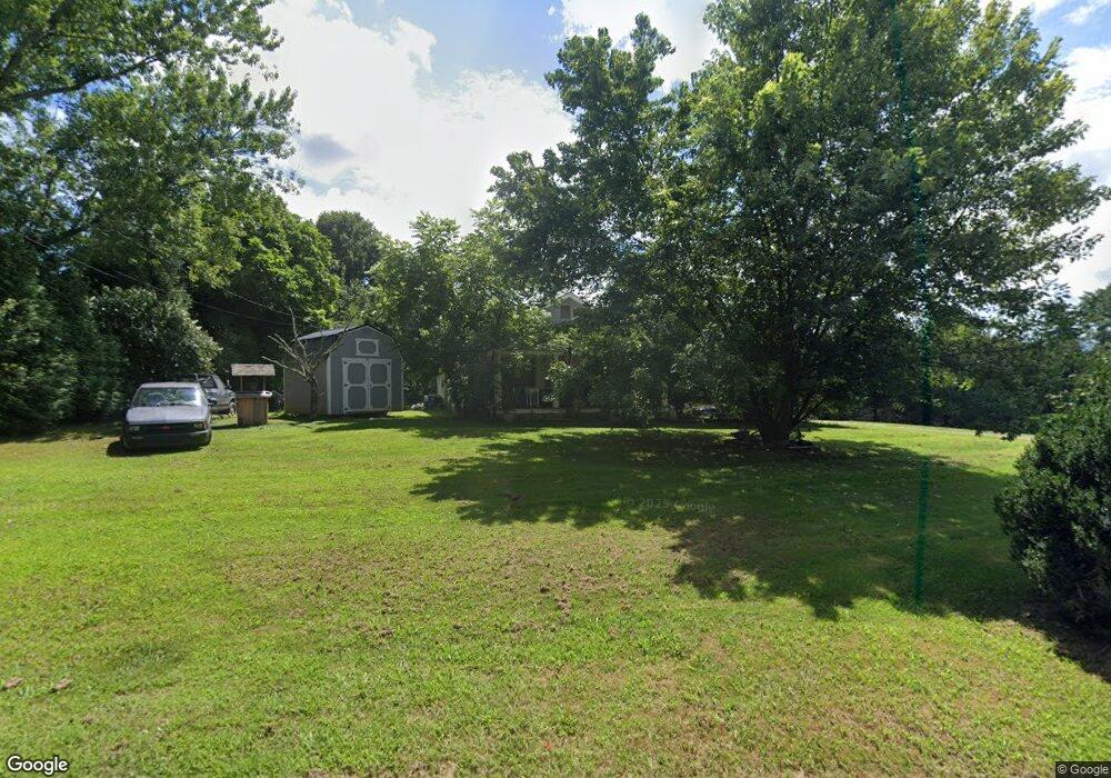
115 Dogwood Rd Candler, NC 28715
Estimated Value: $233,226 - $348,000
2
Beds
1
Bath
952
Sq Ft
$333/Sq Ft
Est. Value
About This Home
This home is located at 115 Dogwood Rd, Candler, NC 28715 and is currently estimated at $317,057, approximately $333 per square foot. 115 Dogwood Rd is a home located in Buncombe County with nearby schools including Candler Elementary School, Enka Middle School, and Enka Intermediate School.
Ownership History
Date
Name
Owned For
Owner Type
Purchase Details
Closed on
Dec 15, 2010
Sold by
Rogers Buckner Shirley
Bought by
Mclaughlin Phillip Dale
Current Estimated Value
Home Financials for this Owner
Home Financials are based on the most recent Mortgage that was taken out on this home.
Original Mortgage
$108,000
Outstanding Balance
$2,431
Interest Rate
4.32%
Mortgage Type
Seller Take Back
Estimated Equity
$314,626
Purchase Details
Closed on
Apr 4, 2005
Sold by
Johnnys Mobile Homes Svcs Asheville Inc
Bought by
Buckner Shirley R
Purchase Details
Closed on
Jan 27, 2005
Sold by
Dula James Ronald and Dula Beverly W
Bought by
Johnnys Mobile Home Svc Asheville Inc
Create a Home Valuation Report for This Property
The Home Valuation Report is an in-depth analysis detailing your home's value as well as a comparison with similar homes in the area
Home Values in the Area
Average Home Value in this Area
Purchase History
| Date | Buyer | Sale Price | Title Company |
|---|---|---|---|
| Mclaughlin Phillip Dale | $114,000 | None Available | |
| Mclaughlin Phillip Dale | $114,000 | None Available | |
| Buckner Shirley R | $182,000 | -- | |
| Johnnys Mobile Home Svc Asheville Inc | $132,500 | -- |
Source: Public Records
Mortgage History
| Date | Status | Borrower | Loan Amount |
|---|---|---|---|
| Open | Mclaughlin Phillip Dale | $108,000 |
Source: Public Records
Tax History Compared to Growth
Tax History
| Year | Tax Paid | Tax Assessment Tax Assessment Total Assessment is a certain percentage of the fair market value that is determined by local assessors to be the total taxable value of land and additions on the property. | Land | Improvement |
|---|---|---|---|---|
| 2025 | $478 | $90,800 | $19,500 | $71,300 |
| 2024 | $478 | $75,000 | $39,300 | $35,700 |
| 2023 | $478 | $75,000 | $39,300 | $35,700 |
| 2022 | $430 | $75,000 | $39,300 | $35,700 |
| 2021 | $445 | $75,000 | $0 | $0 |
| 2020 | $426 | $67,200 | $0 | $0 |
| 2019 | $426 | $67,200 | $0 | $0 |
| 2018 | $416 | $67,200 | $0 | $0 |
| 2017 | $423 | $87,000 | $0 | $0 |
| 2016 | $604 | $87,000 | $0 | $0 |
| 2015 | $604 | $87,000 | $0 | $0 |
| 2014 | $604 | $87,000 | $0 | $0 |
Source: Public Records
Map
Nearby Homes
- 24-#S-4 Brookstone Place
- 30-S-1 Brookstone Place
- 225 Kirk Way
- 20 Brookstone Place
- 16 Farm Pond Ln
- 22 Farm Pond Ln
- 9999-S-3 Brookstone Place Unit S-3
- 28-S-2 Brookstone Place
- 15 Westfield Way
- 34 Brookstone Place
- 106 Justice Ridge Estates Dr Unit 31
- 29 Farm Pond Ln
- 38 Westfield Way
- 18 Spencer Rd
- The Sandburg Plan at Vistas of Westfield
- The Olmstead Plan at Vistas of Westfield
- 185 Bradshaw Cir
- 213 Home Place
- 937 Monte Vista Rd
- 20 Brooks Cove Rd