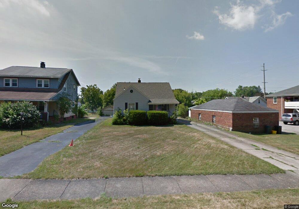
115 Maywood Dr Youngstown, OH 44512
Estimated Value: $84,000 - $146,000
4
Beds
2
Baths
1,373
Sq Ft
$79/Sq Ft
Est. Value
About This Home
This home is located at 115 Maywood Dr, Youngstown, OH 44512 and is currently estimated at $108,016, approximately $78 per square foot. 115 Maywood Dr is a home located in Mahoning County with nearby schools including Taft Elementary School, East High School, and Horizon Science Academy - Youngstown.
Ownership History
Date
Name
Owned For
Owner Type
Purchase Details
Closed on
Nov 17, 2016
Sold by
Bole Sue Ann
Bought by
Pesta Robert James
Current Estimated Value
Purchase Details
Closed on
Jul 5, 2016
Sold by
Estate Of John C Bole
Bought by
Bole Sue Ann
Purchase Details
Closed on
May 14, 2015
Sold by
Bole William D and Bole Kristine
Bought by
Bole John C
Purchase Details
Closed on
Sep 29, 2014
Sold by
Estate Of David C Bole Sr
Bought by
Bole John C and Bole William D
Purchase Details
Closed on
Oct 15, 2007
Sold by
Estate Of Stella Bole
Bought by
Bole David
Purchase Details
Closed on
May 6, 1977
Bought by
Bole Stella
Create a Home Valuation Report for This Property
The Home Valuation Report is an in-depth analysis detailing your home's value as well as a comparison with similar homes in the area
Home Values in the Area
Average Home Value in this Area
Purchase History
| Date | Buyer | Sale Price | Title Company |
|---|---|---|---|
| Pesta Robert James | $40,000 | None Available | |
| Bole Sue Ann | -- | Attorney | |
| Bole John C | $10,000 | Attorney | |
| Bole John C | -- | None Available | |
| Bole David | -- | Safeguard Title Agency | |
| Bole Stella | -- | -- |
Source: Public Records
Tax History Compared to Growth
Tax History
| Year | Tax Paid | Tax Assessment Tax Assessment Total Assessment is a certain percentage of the fair market value that is determined by local assessors to be the total taxable value of land and additions on the property. | Land | Improvement |
|---|---|---|---|---|
| 2024 | $962 | $20,190 | $2,350 | $17,840 |
| 2023 | $955 | $20,190 | $2,350 | $17,840 |
| 2022 | $855 | $13,910 | $2,370 | $11,540 |
| 2021 | $834 | $13,570 | $2,370 | $11,200 |
| 2020 | $839 | $13,570 | $2,370 | $11,200 |
| 2019 | $844 | $12,230 | $2,140 | $10,090 |
| 2018 | $852 | $12,230 | $2,140 | $10,090 |
| 2017 | $984 | $12,230 | $2,140 | $10,090 |
| 2016 | $1,119 | $16,900 | $2,560 | $14,340 |
| 2015 | $1,096 | $16,900 | $2,560 | $14,340 |
| 2014 | $512 | $16,900 | $2,560 | $14,340 |
| 2013 | $505 | $16,900 | $2,560 | $14,340 |
Source: Public Records
Map
Nearby Homes
- 4307 Helena Ave
- 4312 Helena Ave
- 4144 Helena Ave
- 4504 Southern Blvd
- 4508 Southern Blvd
- 94 Shadyside Dr
- 30 Pinehurst Ave
- 204 Lowell Ave
- 60 Shadyside Dr
- 94 Beechwood Dr
- 83 Beechwood Dr
- 188 Clarencedale Ave
- 148 Clifton Dr
- 3916 Howard St
- 230 Clarencedale Ave
- 28 Terrace Dr
- 4552 New England Blvd
- 175 Homestead Dr
- 4038 Sunset Blvd
- 116 Hilton Ave
- 117 Maywood Dr
- 121 Maywood Dr
- 4313 Southern Blvd
- 4321 Southern Blvd
- 127 Maywood Dr
- 4323 Southern Blvd
- 4327 Southern Blvd
- 131 Maywood Dr
- 4331 Southern Blvd
- 116 Maywood Dr
- 4231 Southern Blvd
- 124 Wychwood Ln
- 143 Maywood Dr
- 122 Maywood Dr
- 4335 Southern Blvd
- 124 Maywood Dr
- 4227 Southern Blvd
- 120 Wychwood Ln
- 132 Wychwood Ln
- 145 Maywood Dr