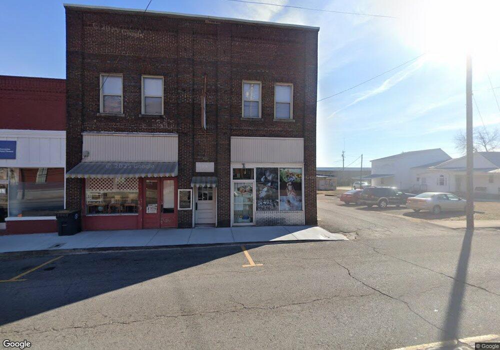
115 River St Hartsville, TN 37074
Estimated Value: $269,000 - $419,000
--
Bed
2
Baths
2,626
Sq Ft
$128/Sq Ft
Est. Value
About This Home
This home is located at 115 River St, Hartsville, TN 37074 and is currently estimated at $337,000, approximately $128 per square foot. 115 River St is a home located in Trousdale County with nearby schools including Trousdale County Elementary School, Jim Satterfield Middle School, and Trousdale County High School.
Ownership History
Date
Name
Owned For
Owner Type
Purchase Details
Closed on
Dec 16, 2024
Sold by
Cash Elizabeth and Pryor Ben
Bought by
Hightower Victoria
Current Estimated Value
Purchase Details
Closed on
Aug 28, 2009
Sold by
Powers Robert E
Bought by
Pryor Wayne
Purchase Details
Closed on
Mar 4, 1999
Bought by
Powers Robert and Powers Sherry
Purchase Details
Closed on
Dec 18, 1993
Bought by
Thompson Larry and Thompson Virginia
Create a Home Valuation Report for This Property
The Home Valuation Report is an in-depth analysis detailing your home's value as well as a comparison with similar homes in the area
Home Values in the Area
Average Home Value in this Area
Purchase History
| Date | Buyer | Sale Price | Title Company |
|---|---|---|---|
| Hightower Victoria | -- | Benchmark Title | |
| Pryor Wayne | $75,000 | -- | |
| Powers Robert | $69,700 | -- | |
| Thompson Larry | -- | -- |
Source: Public Records
Tax History Compared to Growth
Tax History
| Year | Tax Paid | Tax Assessment Tax Assessment Total Assessment is a certain percentage of the fair market value that is determined by local assessors to be the total taxable value of land and additions on the property. | Land | Improvement |
|---|---|---|---|---|
| 2024 | -- | $115,440 | $29,320 | $86,120 |
| 2023 | $3,011 | $115,440 | $29,320 | $86,120 |
| 2022 | $3,014 | $115,440 | $29,320 | $86,120 |
| 2021 | $1,617 | $115,440 | $29,320 | $86,120 |
| 2020 | $1,617 | $48,800 | $16,800 | $32,000 |
| 2019 | $1,617 | $48,800 | $16,800 | $32,000 |
| 2018 | $1,490 | $37,160 | $12,920 | $24,240 |
| 2017 | $1,460 | $37,160 | $12,920 | $24,240 |
| 2016 | $1,501 | $37,160 | $12,920 | $24,240 |
| 2015 | $1,583 | $37,160 | $12,920 | $24,240 |
| 2014 | $1,450 | $34,040 | $12,920 | $21,120 |
Source: Public Records
Map
Nearby Homes
- 138 Greentop St
- 109 Hall St
- 313 Andrews Ave
- 312B W Main St Unit B
- 200 Western Ave
- 0 Tennessee 10 Unit RTC3002720
- 0 Tennessee 10 Unit RTC3002721
- 0 Old Hwy 25 Tract #1
- 330 Thoroughbred Ln
- 200 Hickory Ridge Ln
- 85 Acorn Ln
- 115 Acorn Ln
- 125 Acorn Ln
- 565 Thoroughbred Ln
- 0 Industrial Park Dr
- 215 Scenic Ln
- 195 Scenic Ln
- 0 Mcmurry Blvd W Unit RTC3001515
- 55 Mockingbird Ln
- 180 Scenic Ln
- 115 River St
- 109 River St
- 302 E Main St
- 7 Route 141
- 180 River St
- 0 River St Unit 1910189
- 0 River St
- 0 River St Unit RTC2800578
- 0 River St Unit RTC2671791
- 0 River St Unit RTC2571515
- 0 River St Unit RTC2502994
- 200 Foxall St
- 205 River St
- 65 Epoch Ct
- 65 Epoch Ct Unit 4
- 15-75 Nest Ln
- 105 Jones Ln
- 309 E Main St
- 207 River St
- 101 E Main St