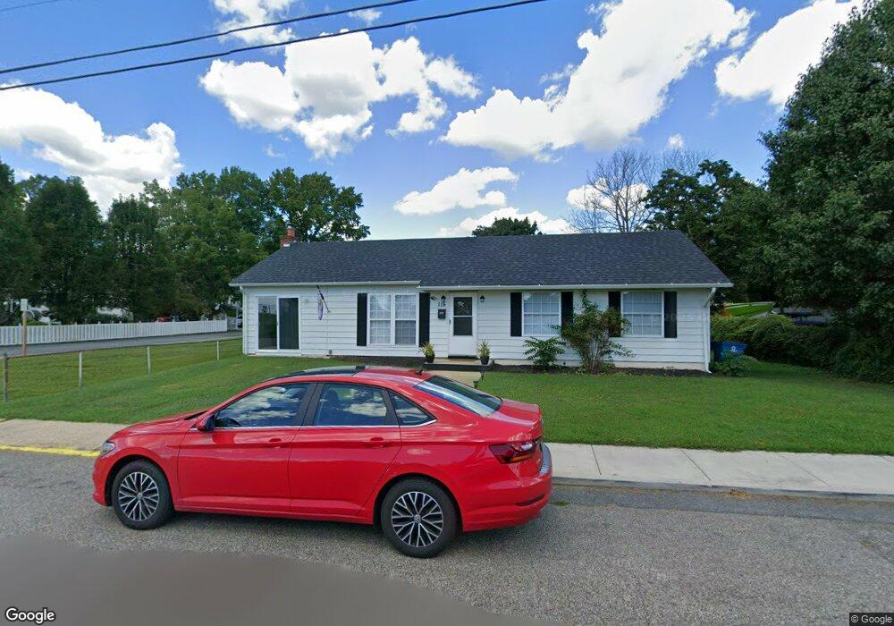
115 W Walnut St North East, MD 21901
Estimated Value: $246,000 - $326,304
--
Bed
1
Bath
1,200
Sq Ft
$232/Sq Ft
Est. Value
About This Home
This home is located at 115 W Walnut St, North East, MD 21901 and is currently estimated at $278,826, approximately $232 per square foot. 115 W Walnut St is a home located in Cecil County with nearby schools including North East Elementary School, North East Middle School, and North East High School.
Ownership History
Date
Name
Owned For
Owner Type
Purchase Details
Closed on
Oct 26, 1998
Sold by
Vonhagan Susan C
Bought by
Vonhagen John C and Vonhagen Susan C
Current Estimated Value
Purchase Details
Closed on
May 20, 1998
Sold by
Lane Donald J Jayne E
Bought by
Vonhagan Susan C
Purchase Details
Closed on
Aug 10, 1990
Sold by
Carr Thelma Thompson
Bought by
Lane Donald J and Lane Jayne E
Home Financials for this Owner
Home Financials are based on the most recent Mortgage that was taken out on this home.
Original Mortgage
$84,600
Interest Rate
10.08%
Create a Home Valuation Report for This Property
The Home Valuation Report is an in-depth analysis detailing your home's value as well as a comparison with similar homes in the area
Home Values in the Area
Average Home Value in this Area
Purchase History
| Date | Buyer | Sale Price | Title Company |
|---|---|---|---|
| Vonhagen John C | -- | -- | |
| Vonhagan Susan C | $92,000 | -- | |
| Lane Donald J | $105,000 | -- |
Source: Public Records
Mortgage History
| Date | Status | Borrower | Loan Amount |
|---|---|---|---|
| Previous Owner | Lane Donald J | $84,600 |
Source: Public Records
Tax History Compared to Growth
Tax History
| Year | Tax Paid | Tax Assessment Tax Assessment Total Assessment is a certain percentage of the fair market value that is determined by local assessors to be the total taxable value of land and additions on the property. | Land | Improvement |
|---|---|---|---|---|
| 2025 | $4,052 | $236,100 | $0 | $0 |
| 2024 | $3,864 | $225,000 | $0 | $0 |
| 2023 | $3,698 | $213,900 | $106,900 | $107,000 |
| 2022 | $3,678 | $211,967 | $0 | $0 |
| 2021 | $3,620 | $210,033 | $0 | $0 |
| 2020 | $3,611 | $208,100 | $106,900 | $101,200 |
| 2019 | $3,405 | $195,867 | $0 | $0 |
| 2018 | $3,199 | $183,633 | $0 | $0 |
| 2017 | $2,995 | $171,400 | $0 | $0 |
| 2016 | $2,827 | $170,367 | $0 | $0 |
| 2015 | $2,827 | $169,333 | $0 | $0 |
| 2014 | $3,189 | $168,300 | $0 | $0 |
Source: Public Records
Map
Nearby Homes
- 122 NE Isle Dr
- 15 S Mauldin Ave
- 144 NE Isles Dr Unit 95A
- 224 W Cecil Ave
- 73 NE Isle Dr
- 6 Colonial Cir
- 37 NE Isle Dr
- 101 Belvue Rd
- 15 Yarmouth Ln
- parcel # 66 Rolling Mill Ln
- 61 Dune Dr
- 61 Dune Dr
- 511 Deans Bank Rd
- 630 W Old Philadelphia Rd
- 14 Mallory Way Unit WYNDHAM
- 62 Rehill Ave
- 0 Pulaski Hwy
- 2515 Pulaski Hwy
- 760 W Old Philadelphia Rd
- 0 Mallory Way Unit MDCC2003990
- 113 W Walnut St
- 111 W Walnut St
- 116 Beech St
- 114 Beech St
- 603 3rd St
- 120 Beech St
- 110 Beech St
- 203 & 603 Walnut & Third St
- 203 W Walnut St
- 105 W Walnut St
- 121 Beech St
- 108 Beech St
- 103 W Walnut St
- 104 W Walnut St
- 209 Walnut St
- 120 W Walnut St
- 104 Beech St
- 101 W Walnut St
- 105 W Cherry St
- 102 W Walnut St