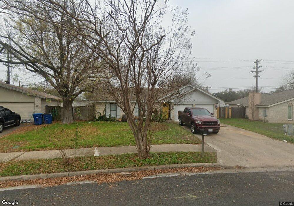
11511 Sandy Loam Trail Austin, TX 78750
Anderson Mill NeighborhoodEstimated Value: $370,945 - $495,000
3
Beds
2
Baths
1,511
Sq Ft
$292/Sq Ft
Est. Value
About This Home
This home is located at 11511 Sandy Loam Trail, Austin, TX 78750 and is currently estimated at $441,736, approximately $292 per square foot. 11511 Sandy Loam Trail is a home located in Williamson County with nearby schools including Anderson Mill Elementary School, Noel Grisham Middle, and Westwood High School.
Ownership History
Date
Name
Owned For
Owner Type
Purchase Details
Closed on
Aug 18, 2010
Sold by
Grant Cathleen B and Grant Christopher R
Bought by
Westbuilt Properties Llc
Current Estimated Value
Purchase Details
Closed on
Nov 3, 2006
Sold by
Herrera Sarah and Herrera Walter
Bought by
Grant Cathleen B
Home Financials for this Owner
Home Financials are based on the most recent Mortgage that was taken out on this home.
Original Mortgage
$87,500
Interest Rate
6.26%
Mortgage Type
Purchase Money Mortgage
Purchase Details
Closed on
Oct 7, 2004
Sold by
Herrera Sarah and Herrera Walter
Bought by
County Of Travis
Purchase Details
Closed on
Mar 29, 2001
Sold by
Smith Harold D and Smith Debra A
Bought by
Herrera Walter and Herrera Sarah
Home Financials for this Owner
Home Financials are based on the most recent Mortgage that was taken out on this home.
Original Mortgage
$109,285
Interest Rate
7.13%
Mortgage Type
FHA
Create a Home Valuation Report for This Property
The Home Valuation Report is an in-depth analysis detailing your home's value as well as a comparison with similar homes in the area
Home Values in the Area
Average Home Value in this Area
Purchase History
| Date | Buyer | Sale Price | Title Company |
|---|---|---|---|
| Westbuilt Properties Llc | -- | Gracy Title Co | |
| Grant Cathleen B | -- | Independence Title Co | |
| County Of Travis | -- | Commonwealth Land Title | |
| Herrera Walter | -- | Commonwealth Land Title |
Source: Public Records
Mortgage History
| Date | Status | Borrower | Loan Amount |
|---|---|---|---|
| Previous Owner | Grant Cathleen B | $87,500 | |
| Previous Owner | Herrera Walter | $109,285 |
Source: Public Records
Tax History Compared to Growth
Tax History
| Year | Tax Paid | Tax Assessment Tax Assessment Total Assessment is a certain percentage of the fair market value that is determined by local assessors to be the total taxable value of land and additions on the property. | Land | Improvement |
|---|---|---|---|---|
| 2025 | $7,007 | $311,883 | $150,000 | $161,883 |
| 2023 | $8,423 | $422,988 | $150,000 | $272,988 |
| 2022 | $7,599 | $350,041 | $150,000 | $200,041 |
| 2021 | $7,358 | $311,970 | $70,000 | $241,970 |
| 2020 | $6,185 | $231,859 | $70,000 | $161,859 |
| 2018 | $5,629 | $230,336 | $70,000 | $160,336 |
| 2017 | $6,613 | $265,169 | $70,000 | $195,169 |
| 2016 | $3,076 | $123,342 | $30,000 | $93,342 |
| 2015 | $3,382 | $128,832 | $30,000 | $98,832 |
| 2014 | $3,382 | $128,832 | $30,000 | $98,832 |
Source: Public Records
Map
Nearby Homes
- 11533 Sandy Loam Trail
- 11302 Centennial Trail
- 10903 Cade Cir
- 11000 Anderson Mill Rd Unit 96
- 11000 Anderson Mill Rd Unit 63
- 10606 Mourning Dove Dr
- 11100 Alison Parke Trail
- 11007 Opal Trail
- 11402 Pickfair Dr
- 10903 Centennial Trail
- 11512 Tin Cup Dr Unit 309
- 11512 Tin Cup Dr Unit 205
- 10404 Mourning Dove Dr
- 11310 Spicewood Club Dr Unit 12
- 11310 Spicewood Club Dr Unit 21
- 11462 Bristle Oak Trail
- 11405 Antler Ln
- 11902 Millwright Pkwy
- 10401 Mourning Dove Dr
- 10255 Missel Thrush Dr
- 11509 Sandy Loam Trail
- 11513 Sandy Loam Trail
- 11515 Sandy Loam Trail
- 11507 Sandy Loam Trail
- 11507 Sandy Loam Trail
- 11506 Sandy Loam Trail
- 11505 Sandy Loam Trail
- 11510 Sandy Loam Trail
- 11504 Sandy Loam Trail
- 11503 Sandy Loam Trail
- 11503 Sandy Loam Trail
- 11517 Sandy Loam Trail
- 11517 Sandy Loam Trail
- 11420 Sierra Blanca St
- 11519 Sandy Loam Trail
- 11519 Sandy Loam Trail
- 10707 Onyx Cove
- 11512 Sandy Loam Trail
- 11502 Sandy Loam Trail
- 11407 Centennial Trail