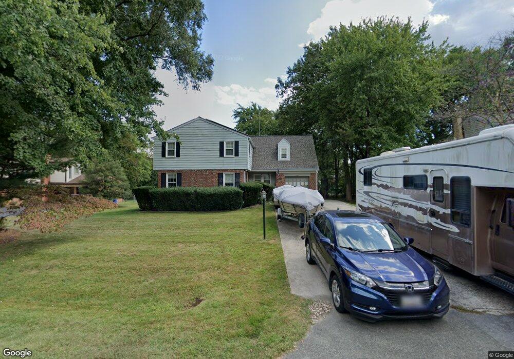
11517 Karen Dr Potomac, MD 20854
Estimated Value: $915,000 - $1,185,000
--
Bed
3
Baths
2,825
Sq Ft
$380/Sq Ft
Est. Value
About This Home
This home is located at 11517 Karen Dr, Potomac, MD 20854 and is currently estimated at $1,074,551, approximately $380 per square foot. 11517 Karen Dr is a home located in Montgomery County with nearby schools including Keppen School, Morton Elementary School, and Joseph M. Carkenord Elementary School.
Ownership History
Date
Name
Owned For
Owner Type
Purchase Details
Closed on
Dec 27, 2021
Sold by
Philip G Berman Living Trust
Bought by
Philip G Berman Living Trust and Toby F Berman Living Trust
Current Estimated Value
Home Financials for this Owner
Home Financials are based on the most recent Mortgage that was taken out on this home.
Original Mortgage
$246,280
Interest Rate
2.63%
Mortgage Type
New Conventional
Purchase Details
Closed on
Sep 25, 2008
Sold by
Berman Philip G
Bought by
Berman Philip G Tr
Create a Home Valuation Report for This Property
The Home Valuation Report is an in-depth analysis detailing your home's value as well as a comparison with similar homes in the area
Home Values in the Area
Average Home Value in this Area
Purchase History
| Date | Buyer | Sale Price | Title Company |
|---|---|---|---|
| Philip G Berman Living Trust | -- | -- | |
| Berman Philip G Tr | -- | -- |
Source: Public Records
Mortgage History
| Date | Status | Borrower | Loan Amount |
|---|---|---|---|
| Previous Owner | Philip G Berman Living Trust | $246,280 |
Source: Public Records
Tax History Compared to Growth
Tax History
| Year | Tax Paid | Tax Assessment Tax Assessment Total Assessment is a certain percentage of the fair market value that is determined by local assessors to be the total taxable value of land and additions on the property. | Land | Improvement |
|---|---|---|---|---|
| 2025 | $11,040 | $963,600 | $480,300 | $483,300 |
| 2024 | $11,040 | $914,167 | $0 | $0 |
| 2023 | $9,754 | $864,733 | $0 | $0 |
| 2022 | $8,772 | $815,300 | $480,300 | $335,000 |
| 2021 | $8,651 | $813,667 | $0 | $0 |
| 2020 | $8,651 | $812,033 | $0 | $0 |
| 2019 | $6,953 | $810,400 | $480,300 | $330,100 |
| 2018 | $6,861 | $810,400 | $480,300 | $330,100 |
| 2017 | $6,202 | $810,400 | $0 | $0 |
| 2016 | $8,098 | $833,400 | $0 | $0 |
| 2015 | $8,098 | $820,333 | $0 | $0 |
| 2014 | $8,098 | $807,267 | $0 | $0 |
Source: Public Records
Map
Nearby Homes
- 11512 Le Havre Dr
- 8802 Stonehaven Ct
- 8849 Tuckerman Ln
- 9210 Marseille Dr
- 8703 Yarmouth Ct
- 9304 Sprinklewood Ln
- 11004 Haislip Ct
- 9420 Lost Trail Way
- 8624 Wild Olive Dr
- 11733 Ambleside Dr
- 9323 Bentridge Ave
- 9329 Bentridge Ave
- 18 Bentridge Ct
- 9509 Windcroft Way
- 11905 Ambleside Dr
- 8328 Tuckerman Ln
- 8617 Atwell Rd
- 11613 Bedfordshire Ave
- 11508 Hornfair Ct
- 8712 Harness Trail