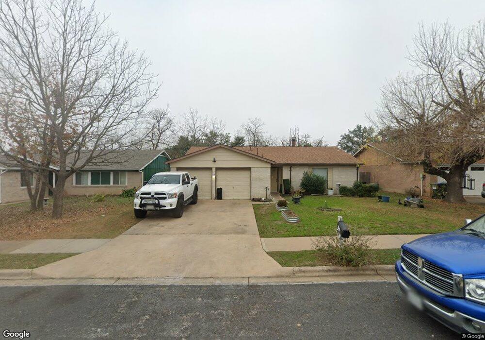
11518 Sandy Loam Trail Austin, TX 78750
Anderson Mill NeighborhoodEstimated Value: $351,781 - $451,000
--
Bed
2
Baths
1,361
Sq Ft
$296/Sq Ft
Est. Value
About This Home
This home is located at 11518 Sandy Loam Trail, Austin, TX 78750 and is currently estimated at $402,945, approximately $296 per square foot. 11518 Sandy Loam Trail is a home located in Williamson County with nearby schools including Anderson Mill Elementary School, Noel Grisham Middle, and Westwood High School.
Ownership History
Date
Name
Owned For
Owner Type
Purchase Details
Closed on
Jan 31, 2006
Sold by
Routh Todd S and Routh Clay R
Bought by
Teichelman Howard E
Current Estimated Value
Home Financials for this Owner
Home Financials are based on the most recent Mortgage that was taken out on this home.
Original Mortgage
$168,000
Outstanding Balance
$94,801
Interest Rate
6.24%
Mortgage Type
Purchase Money Mortgage
Estimated Equity
$308,144
Create a Home Valuation Report for This Property
The Home Valuation Report is an in-depth analysis detailing your home's value as well as a comparison with similar homes in the area
Home Values in the Area
Average Home Value in this Area
Purchase History
| Date | Buyer | Sale Price | Title Company |
|---|---|---|---|
| Teichelman Howard E | -- | Longhorn Title Co Inc |
Source: Public Records
Mortgage History
| Date | Status | Borrower | Loan Amount |
|---|---|---|---|
| Open | Teichelman Howard E | $168,000 |
Source: Public Records
Tax History Compared to Growth
Tax History
| Year | Tax Paid | Tax Assessment Tax Assessment Total Assessment is a certain percentage of the fair market value that is determined by local assessors to be the total taxable value of land and additions on the property. | Land | Improvement |
|---|---|---|---|---|
| 2025 | $7,557 | $329,289 | $88,500 | $240,789 |
| 2024 | $7,557 | $375,966 | $88,500 | $287,466 |
| 2023 | $6,933 | $350,097 | $92,000 | $258,097 |
| 2022 | $8,441 | $393,123 | $92,000 | $301,123 |
| 2021 | $8,044 | $327,427 | $72,000 | $255,427 |
| 2020 | $6,288 | $264,297 | $66,598 | $197,699 |
| 2019 | $6,013 | $245,837 | $60,700 | $185,137 |
| 2018 | $5,644 | $230,750 | $54,891 | $175,859 |
| 2017 | $5,697 | $228,246 | $51,300 | $176,946 |
| 2016 | $5,127 | $196,319 | $51,300 | $145,019 |
| 2015 | $3,872 | $184,701 | $42,100 | $142,601 |
| 2014 | $3,872 | $151,909 | $0 | $0 |
Source: Public Records
Map
Nearby Homes
- 11533 Sandy Loam Trail
- 11000 Anderson Mill Rd Unit 96
- 11000 Anderson Mill Rd Unit 63
- 11007 Opal Trail
- 11100 Alison Parke Trail
- 10606 Mourning Dove Dr
- 11302 Centennial Trail
- 10903 Cade Cir
- 11462 Bristle Oak Trail
- 11908 Stout Oak Trail
- 10404 Mourning Dove Dr
- 11402 Pickfair Dr
- 10903 Centennial Trail
- 11405 Antler Ln
- 1028 Verbena Dr
- 12106 Grey Fawn Path
- 10401 Mourning Dove Dr
- 11902 Millwright Pkwy
- 11405 Bristle Oak Trail
- 11905 Millwright Pkwy
- 11520 Sandy Loam Trail
- 11516 Sandy Loam Trail
- 10708 Onyx Cove
- 11514 Sandy Loam Trail
- 11522 Sandy Loam Trail
- 11538 Sandy Loam Trail
- 11527 Sandy Loam Trail
- 11529 Sandy Loam Trail
- 10706 Onyx Cove
- 11540 Sandy Loam Trail
- 10709 Onyx Cove
- 11525 Sandy Loam Trail
- 11512 Sandy Loam Trail
- 11531 Sandy Loam Trail
- 11523 Sandy Loam Trail
- 11542 Sandy Loam Trail
- 11521 Sandy Loam Trail
- 11510 Sandy Loam Trail
- 10704 Onyx Cove
- 11519 Sandy Loam Trail