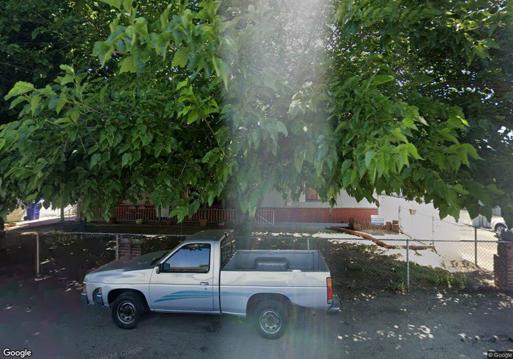
1154 N Howland St Porterville, CA 93257
Porterville Northwest NeighborhoodEstimated Value: $357,398 - $364,000
3
Beds
2
Baths
1,878
Sq Ft
$192/Sq Ft
Est. Value
About This Home
This home is located at 1154 N Howland St, Porterville, CA 93257 and is currently estimated at $361,100, approximately $192 per square foot. 1154 N Howland St is a home located in Tulare County with nearby schools including Monte Vista Elementary School, Strathmore Elementary School, and Sequoia Middle School.
Ownership History
Date
Name
Owned For
Owner Type
Purchase Details
Closed on
Feb 21, 2018
Sold by
Linda Vista Church Of Christ
Bought by
Gutierrez Maria Elena
Current Estimated Value
Purchase Details
Closed on
Nov 28, 2017
Sold by
Mcguire Shirley
Bought by
Linda Vista Church Of Christ
Purchase Details
Closed on
Oct 10, 2011
Sold by
Keen Lucile
Bought by
Mcguire Shirley and Lucile Keen Irrevocable Trust
Purchase Details
Closed on
Oct 2, 2001
Sold by
Keen Luclie and Keen Duane
Bought by
Keen Lucile and Keen Duane
Create a Home Valuation Report for This Property
The Home Valuation Report is an in-depth analysis detailing your home's value as well as a comparison with similar homes in the area
Home Values in the Area
Average Home Value in this Area
Purchase History
| Date | Buyer | Sale Price | Title Company |
|---|---|---|---|
| Gutierrez Maria Elena | $135,000 | First American Title Co | |
| Linda Vista Church Of Christ | -- | None Available | |
| Mcguire Shirley | -- | None Available | |
| Keen Lucile | -- | -- |
Source: Public Records
Tax History Compared to Growth
Tax History
| Year | Tax Paid | Tax Assessment Tax Assessment Total Assessment is a certain percentage of the fair market value that is determined by local assessors to be the total taxable value of land and additions on the property. | Land | Improvement |
|---|---|---|---|---|
| 2025 | $2,223 | $209,357 | $51,200 | $158,157 |
| 2024 | $2,223 | $205,253 | $50,197 | $155,056 |
| 2023 | $2,222 | $201,229 | $49,213 | $152,016 |
| 2022 | $2,153 | $197,285 | $48,249 | $149,036 |
| 2021 | $2,128 | $193,417 | $47,303 | $146,114 |
| 2020 | $2,105 | $191,434 | $46,818 | $144,616 |
| 2019 | $2,067 | $187,680 | $45,900 | $141,780 |
| 2018 | $559 | $50,621 | $11,302 | $39,319 |
| 2017 | $468 | $49,628 | $11,080 | $38,548 |
| 2016 | $448 | $48,655 | $10,863 | $37,792 |
| 2015 | $428 | $47,924 | $10,700 | $37,224 |
| 2014 | $428 | $46,985 | $10,490 | $36,495 |
Source: Public Records
Map
Nearby Homes
- 680 W Gerry Cir
- 1167 N Main St
- 681 W Mulberry Ave
- 927 Shadowood Place
- 793 Pioneer Ave
- 1495 N Highland Dr
- 829 Pioneer Ave
- 701 W Theta Ave
- 701 Theta Ave
- 1485 N Highland Dr
- 0 N Marshall St
- 0 N Scenic Dr Unit 237652
- 1070 N Highland Dr
- 1105 N Scenic Dr
- 572 Memory Ln
- 0 W Reid Ave
- 1089 Pioneer Ave
- 91 Heatherwood Ct
- 579 N Villa St
- 816 W Grand Ave
- 1134 N Howland St
- 1168 N Howland St
- 1146 N Howland St
- 1153 N Howland St
- 1143 N Howland St
- 1126 N Howland St
- 1135 N Howland St
- 1171 N Howland St
- 1184 N Howland St
- 1139 N Howland St
- 515 W Westfield Ave
- 1127 N Howland St
- 1187 N Howland St
- 497 W Westfield Ave
- 1106 N Howland St
- 1113 N Howland St
- 565 W Westfield Ave
- 489 W Westfield Ave
- 1084 N Howland St
- 1091 N Howland St