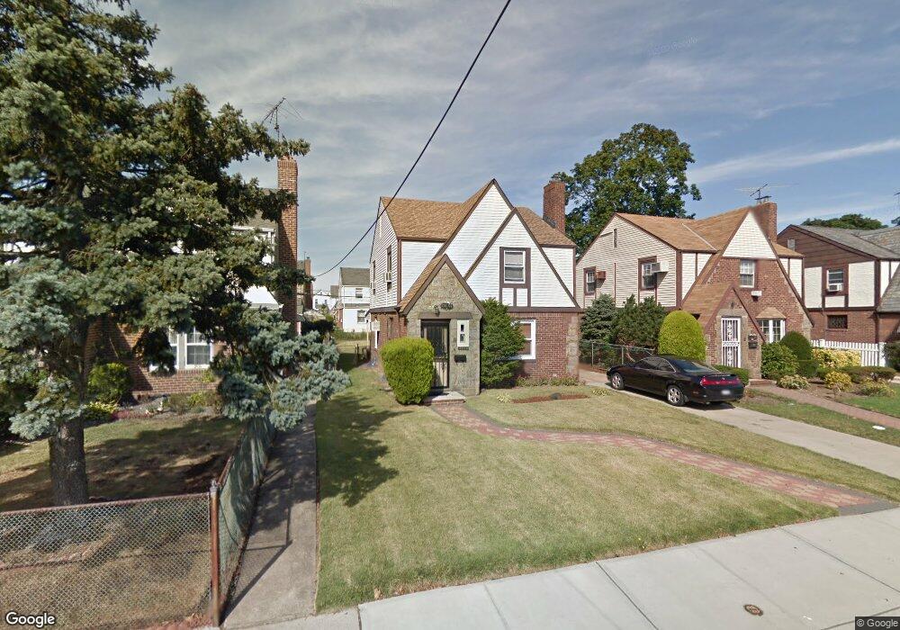
11554 219th St Cambria Heights, NY 11411
Cambria Heights NeighborhoodEstimated Value: $684,000 - $709,000
--
Bed
--
Bath
1,306
Sq Ft
$534/Sq Ft
Est. Value
About This Home
This home is located at 11554 219th St, Cambria Heights, NY 11411 and is currently estimated at $697,821, approximately $534 per square foot. 11554 219th St is a home located in Queens County with nearby schools including P.S./M.S. 147 Ronald Mcnair, I.S. 192 The Linden, and Ss Joachim & Anne School.
Ownership History
Date
Name
Owned For
Owner Type
Purchase Details
Closed on
May 17, 2006
Sold by
Roberts Beverly and Roberts Trevor
Bought by
Powell Kiesha
Current Estimated Value
Home Financials for this Owner
Home Financials are based on the most recent Mortgage that was taken out on this home.
Original Mortgage
$413,250
Interest Rate
6.6%
Mortgage Type
Purchase Money Mortgage
Create a Home Valuation Report for This Property
The Home Valuation Report is an in-depth analysis detailing your home's value as well as a comparison with similar homes in the area
Home Values in the Area
Average Home Value in this Area
Purchase History
| Date | Buyer | Sale Price | Title Company |
|---|---|---|---|
| Powell Kiesha | $435,500 | -- |
Source: Public Records
Mortgage History
| Date | Status | Borrower | Loan Amount |
|---|---|---|---|
| Previous Owner | Powell Kiesha | $413,250 |
Source: Public Records
Tax History Compared to Growth
Tax History
| Year | Tax Paid | Tax Assessment Tax Assessment Total Assessment is a certain percentage of the fair market value that is determined by local assessors to be the total taxable value of land and additions on the property. | Land | Improvement |
|---|---|---|---|---|
| 2025 | $5,835 | $32,278 | $8,619 | $23,659 |
| 2024 | $5,847 | $30,451 | $9,426 | $21,025 |
| 2023 | $5,489 | $28,728 | $8,934 | $19,794 |
| 2022 | $5,448 | $35,280 | $12,240 | $23,040 |
| 2021 | $5,705 | $29,220 | $12,240 | $16,980 |
| 2020 | $5,398 | $27,660 | $12,240 | $15,420 |
| 2019 | $5,016 | $28,680 | $12,240 | $16,440 |
| 2018 | $26,315 | $23,940 | $12,240 | $11,700 |
| 2017 | $25,360 | $25,048 | $11,801 | $13,247 |
| 2016 | $4,697 | $25,048 | $11,801 | $13,247 |
| 2015 | $2,630 | $24,762 | $12,981 | $11,781 |
| 2014 | $2,630 | $23,361 | $13,597 | $9,764 |
Source: Public Records
Map
Nearby Homes
- 115-87 219th St
- 11583 220th St
- 115-99 219th St
- 114-36 220th St
- 115-20 217th St
- 217-39 114th Rd
- 21608 115th Rd
- 21739 114th Rd
- 115- 116 221st St
- 21610 115th Ct
- 216-04 115th Terrace
- 216-08 115th Rd
- 115-47 223rd St
- 116-01 221st St
- 11603 217th St
- 11615 220th St
- 115-100 Springfield Blvd
- 116-18 222nd St
- 11616 217th St
- 113-66 Springfield Blvd
- 11550 219th St
- 11558 219th St
- 11546 219th St
- 11555 218th St
- 11551 218th St
- 11559 218th St
- 11542 219th St
- 11547 218th St
- 11543 218th St
- 11555 219th St
- 11538 219th St
- 11551 219th St
- 11559 219th St
- 11547 219th St
- 115-47 219th St
- 11539 218th St
- 11543 219th St
- 11534 219th St
- 11535 218th St
- 11539 219th St