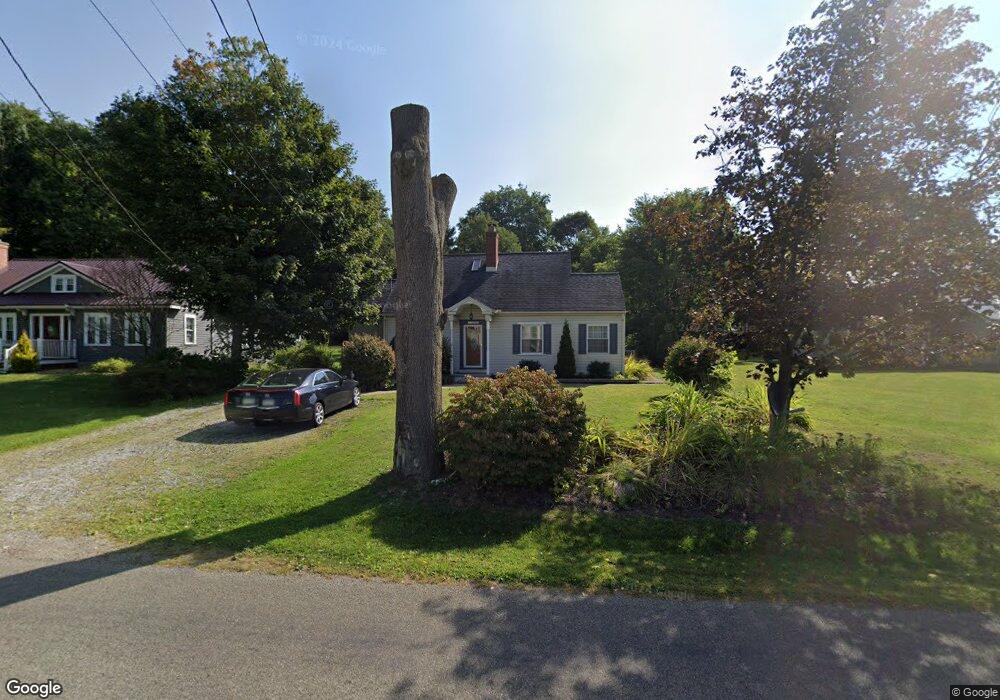
11560 Thurston Rd Meadville, PA 16335
Estimated Value: $113,173 - $195,000
--
Bed
--
Bath
--
Sq Ft
8,973
Sq Ft Lot
About This Home
This home is located at 11560 Thurston Rd, Meadville, PA 16335 and is currently estimated at $156,543. 11560 Thurston Rd is a home located in Crawford County with nearby schools including Neason Hill Elementary School, Meadville Middle School, and Meadville Area Senior High School.
Ownership History
Date
Name
Owned For
Owner Type
Purchase Details
Closed on
Nov 5, 2020
Sold by
Bourquin Erin M
Bought by
Wagner Josh and Wagner Samantha
Current Estimated Value
Home Financials for this Owner
Home Financials are based on the most recent Mortgage that was taken out on this home.
Original Mortgage
$143,629
Outstanding Balance
$128,039
Interest Rate
2.9%
Mortgage Type
VA
Estimated Equity
$28,504
Purchase Details
Closed on
Jun 20, 2012
Sold by
Tidball Terry E and Goss Shelly A
Bought by
Bourquin Erin M
Home Financials for this Owner
Home Financials are based on the most recent Mortgage that was taken out on this home.
Original Mortgage
$96,800
Interest Rate
3.78%
Mortgage Type
New Conventional
Create a Home Valuation Report for This Property
The Home Valuation Report is an in-depth analysis detailing your home's value as well as a comparison with similar homes in the area
Home Values in the Area
Average Home Value in this Area
Purchase History
| Date | Buyer | Sale Price | Title Company |
|---|---|---|---|
| Wagner Josh | $140,400 | First Choice Setmnts Of Pa L | |
| Bourquin Erin M | $122,000 | None Available |
Source: Public Records
Mortgage History
| Date | Status | Borrower | Loan Amount |
|---|---|---|---|
| Open | Wagner Josh | $143,629 | |
| Previous Owner | Bourquin Erin M | $96,800 |
Source: Public Records
Tax History Compared to Growth
Tax History
| Year | Tax Paid | Tax Assessment Tax Assessment Total Assessment is a certain percentage of the fair market value that is determined by local assessors to be the total taxable value of land and additions on the property. | Land | Improvement |
|---|---|---|---|---|
| 2025 | $649 | $23,950 | $1,350 | $22,600 |
| 2024 | $936 | $23,950 | $1,350 | $22,600 |
| 2023 | $960 | $23,950 | $1,350 | $22,600 |
| 2022 | $1,930 | $23,950 | $1,350 | $22,600 |
| 2021 | $1,885 | $23,950 | $1,350 | $22,600 |
| 2020 | $1,885 | $23,950 | $1,350 | $22,600 |
| 2019 | $1,885 | $23,950 | $1,350 | $22,600 |
| 2018 | $1,795 | $23,950 | $1,350 | $22,600 |
| 2017 | $1,776 | $23,950 | $1,350 | $22,600 |
| 2016 | $553 | $23,950 | $1,350 | $22,600 |
| 2015 | $553 | $23,950 | $1,350 | $22,600 |
| 2014 | -- | $23,950 | $1,350 | $22,600 |
Source: Public Records
Map
Nearby Homes
- 20899 Star Route
- 12336 Leslie Rd
- 826 Irvin Ave
- 21757 Star Route
- 970 S Morgan St
- 802 Brawley Ave
- 703-705 Chestnut St
- 908 Fairview Ave
- 20231 Homecroft Rd
- 685 Chestnut St
- 626 Walnut St
- 673 Washington St
- 10845 Graff St
- 12988 Raymond Dr
- 1003 Catherine St
- 1000-1002 Catherine St
- 712 State St
- 537 Chestnut St
- 3214-024 Blooming Valley Rd
- 3210-72-6 Blooming Valley Rd
- 11572 Thurston Rd
- 11550 Thurston Rd
- 11541 Thurston Rd
- 11541 Thurston Rd
- 11520 Thurston Rd
- 11506 Thurston Rd
- 11505 Thurston Rd
- 11495 Thurston Rd
- 11480 Thurston Rd
- 11617 Thurston Rd
- 11617 Thurston Rd
- 11470 Thurston Rd
- 21032 Alden Street Extension
- 20982 Alden Street Extension
- 21000 Alden Street Extension
- 21037 Alden Street Extension
- 20952 Alden Street Extension
- 20985 Alden Street Extension
- 20977 Alden Street Extension
- 20999 Alden Street Extension