Estimated Value: $295,084 - $341,000
3
Beds
2
Baths
1,512
Sq Ft
$209/Sq Ft
Est. Value
About This Home
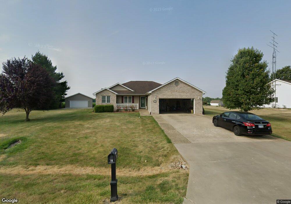
This home is located at 116 Cape Ann Ct, Pekin, IL 61554 and is currently estimated at $315,521, approximately $208 per square foot. 116 Cape Ann Ct is a home located in Tazewell County with nearby schools including Tremont Elementary School, Tremont Middle School, and Tremont High School.
Ownership History
Date
Name
Owned For
Owner Type
Purchase Details
Closed on
Jan 23, 2013
Sold by
Gullette Glendel and Gullette Sandra
Bought by
Hammond David W and Hammond Abby L
Current Estimated Value
Home Financials for this Owner
Home Financials are based on the most recent Mortgage that was taken out on this home.
Original Mortgage
$198,861
Outstanding Balance
$137,880
Interest Rate
3.31%
Mortgage Type
New Conventional
Estimated Equity
$177,641
Create a Home Valuation Report for This Property
The Home Valuation Report is an in-depth analysis detailing your home's value as well as a comparison with similar homes in the area
Home Values in the Area
Average Home Value in this Area
Purchase History
| Date | Buyer | Sale Price | Title Company |
|---|---|---|---|
| Hammond David W | $205,500 | None Available |
Source: Public Records
Mortgage History
| Date | Status | Borrower | Loan Amount |
|---|---|---|---|
| Open | Hammond David W | $198,861 |
Source: Public Records
Tax History Compared to Growth
Tax History
| Year | Tax Paid | Tax Assessment Tax Assessment Total Assessment is a certain percentage of the fair market value that is determined by local assessors to be the total taxable value of land and additions on the property. | Land | Improvement |
|---|---|---|---|---|
| 2024 | $4,968 | $83,350 | $11,090 | $72,260 |
| 2023 | $4,968 | $76,520 | $10,180 | $66,340 |
| 2022 | $4,796 | $71,240 | $9,480 | $61,760 |
| 2021 | $4,647 | $68,500 | $9,120 | $59,380 |
| 2020 | $4,586 | $67,160 | $8,940 | $58,220 |
| 2019 | $4,589 | $67,160 | $8,940 | $58,220 |
| 2018 | $4,511 | $67,160 | $8,940 | $58,220 |
| 2017 | $4,434 | $65,830 | $8,760 | $57,070 |
| 2016 | $4,370 | $65,830 | $8,760 | $57,070 |
| 2015 | $4,254 | $0 | $0 | $0 |
| 2013 | $4,197 | $65,830 | $8,760 | $57,070 |
Source: Public Records
Map
Nearby Homes
- 1920-1922 Mayflower Dr
- 1960-1962 Mayflower Dr
- 105 Royal Point Ct
- 107 Lost Creek Ct
- 116 Lost Creek Ct
- 3858 Sunset Dr
- 13694 Egg Ranch Rd
- 17902 Red Shale Hill Rd
- 16810 Springfield Rd
- 5559 Broadway Rd
- 313 W South St
- 5859 Broadway Rd
- 227 Indian Creek Dr
- 316 N Locust St
- 1922 Highwood Ave
- 16 Point Ct E
- 0 Illinois 9
- 1515 Norwood Ave
- 1824 Valencia Place
- 1900 Saint Clair Dr
- 114 Cape Ann Ct
- 118 Cape Ann Ct
- 117 Cape Ann Ct
- 119 Cape Ann Ct
- 115 Cape Ann Ct
- 6101 Hartford Dr
- 6100 Hartford Dr
- 6010 Hartford Dr
- 6011 Hartford Dr
- 6104 Hartford Dr
- 6107 Hartford Dr
- 6005 Hartford Dr
- 6004 Hartford Dr
- 6203 Hartford Dr
- 6110 Hartford Dr
- 6215 Hartford Dr
- 6209 Hartford Dr
- 6000 Hartford Dr
- 6202 Hartford Dr
- 6208 Hartford Dr