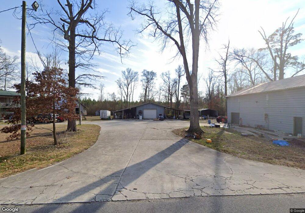
116 Cox Ave Richlands, NC 28574
Estimated Value: $216,000 - $321,000
3
Beds
2
Baths
1,104
Sq Ft
$225/Sq Ft
Est. Value
About This Home
This home is located at 116 Cox Ave, Richlands, NC 28574 and is currently estimated at $248,796, approximately $225 per square foot. 116 Cox Ave is a home located in Onslow County with nearby schools including Richlands Elementary School, Trexler Middle School, and Richlands High School.
Ownership History
Date
Name
Owned For
Owner Type
Purchase Details
Closed on
Dec 19, 2006
Sold by
Logue Kenneth D and Logue Raeanne J
Bought by
Wilcox Brian
Current Estimated Value
Home Financials for this Owner
Home Financials are based on the most recent Mortgage that was taken out on this home.
Original Mortgage
$144,337
Outstanding Balance
$85,287
Interest Rate
6.1%
Mortgage Type
VA
Estimated Equity
$163,509
Create a Home Valuation Report for This Property
The Home Valuation Report is an in-depth analysis detailing your home's value as well as a comparison with similar homes in the area
Home Values in the Area
Average Home Value in this Area
Purchase History
| Date | Buyer | Sale Price | Title Company |
|---|---|---|---|
| Wilcox Brian | $141,500 | None Available |
Source: Public Records
Mortgage History
| Date | Status | Borrower | Loan Amount |
|---|---|---|---|
| Open | Wilcox Brian | $144,337 |
Source: Public Records
Tax History Compared to Growth
Tax History
| Year | Tax Paid | Tax Assessment Tax Assessment Total Assessment is a certain percentage of the fair market value that is determined by local assessors to be the total taxable value of land and additions on the property. | Land | Improvement |
|---|---|---|---|---|
| 2025 | $1,047 | $159,874 | $21,090 | $138,784 |
| 2024 | $1,047 | $159,874 | $21,090 | $138,784 |
| 2023 | $1,047 | $159,874 | $21,090 | $138,784 |
| 2022 | $1,047 | $159,874 | $21,090 | $138,784 |
| 2021 | $1,076 | $152,560 | $21,090 | $131,470 |
| 2020 | $1,005 | $142,590 | $21,090 | $121,500 |
| 2019 | $1,005 | $142,590 | $21,090 | $121,500 |
| 2018 | $1,005 | $142,590 | $21,090 | $121,500 |
| 2017 | $1,007 | $149,220 | $21,090 | $128,130 |
| 2016 | $1,007 | $149,220 | $0 | $0 |
| 2015 | $1,007 | $149,220 | $0 | $0 |
| 2014 | $1,007 | $149,220 | $0 | $0 |
Source: Public Records
Map
Nearby Homes
- 111 Cox Ave
- 122 Cox Ave
- 448 Huffmantown Rd
- 436 Huffmantown Rd
- 428 Huffmantown Rd
- 142 Cox Ave
- 476 Huffmantown Rd
- 484 Huffmantown Rd
- 112 Cox Rd
- 496 Huffmantown Rd
- 495 Huffmantown Rd
- 121 Cox Rd
- 502 Huffmantown Rd
- 132 Cox Ave
- 140 Cox Rd
- 391 Huffmantown Rd
- 513 Huffmantown Rd
- 510 Huffmantown Rd
- 517 Huffmantown Rd
- 385 Huffmantown Rd