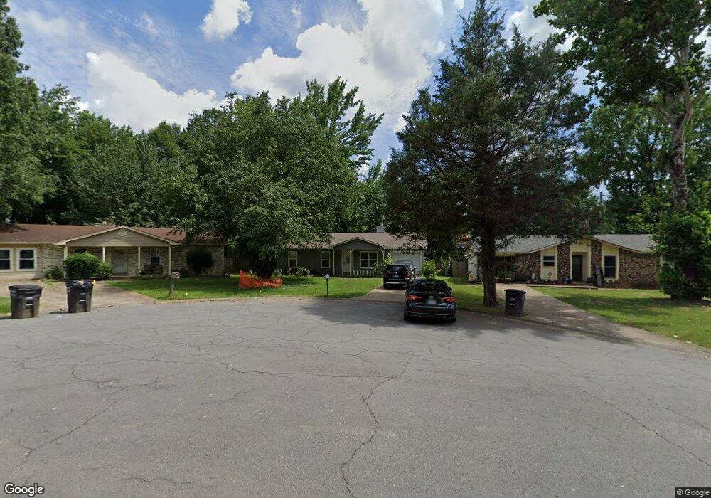
116 Darryl Ct Jacksonville, AR 72076
Estimated Value: $91,000 - $118,000
--
Bed
3
Baths
1,036
Sq Ft
$100/Sq Ft
Est. Value
About This Home
This home is located at 116 Darryl Ct, Jacksonville, AR 72076 and is currently estimated at $103,313, approximately $99 per square foot. 116 Darryl Ct is a home located in Pulaski County with nearby schools including Murrell Taylor Elementary School, Jacksonville Middle School, and Jacksonville High School.
Ownership History
Date
Name
Owned For
Owner Type
Purchase Details
Closed on
Mar 4, 2024
Sold by
Robinson Montay
Bought by
Robinson Eric L
Current Estimated Value
Purchase Details
Closed on
Aug 10, 2021
Sold by
Moore Broadway Llc
Bought by
Robinson Montay
Purchase Details
Closed on
May 9, 2014
Sold by
Commissioner Of State Lands
Bought by
Moore Broadway Llc
Purchase Details
Closed on
Apr 25, 2005
Sold by
Stewart David Russell and Stewart Janet Louise
Bought by
Cauldwell Stacye L
Home Financials for this Owner
Home Financials are based on the most recent Mortgage that was taken out on this home.
Original Mortgage
$58,500
Interest Rate
9.12%
Mortgage Type
Fannie Mae Freddie Mac
Create a Home Valuation Report for This Property
The Home Valuation Report is an in-depth analysis detailing your home's value as well as a comparison with similar homes in the area
Home Values in the Area
Average Home Value in this Area
Purchase History
| Date | Buyer | Sale Price | Title Company |
|---|---|---|---|
| Robinson Eric L | -- | None Listed On Document | |
| Robinson Montay | $35,000 | None Available | |
| Moore Broadway Llc | $5,800 | None Available | |
| Cauldwell Stacye L | $59,000 | Lenders Title Co |
Source: Public Records
Mortgage History
| Date | Status | Borrower | Loan Amount |
|---|---|---|---|
| Previous Owner | Cauldwell Stacye L | $58,500 |
Source: Public Records
Tax History Compared to Growth
Tax History
| Year | Tax Paid | Tax Assessment Tax Assessment Total Assessment is a certain percentage of the fair market value that is determined by local assessors to be the total taxable value of land and additions on the property. | Land | Improvement |
|---|---|---|---|---|
| 2025 | $1,047 | $17,047 | $1,200 | $15,847 |
| 2024 | $917 | $17,047 | $1,200 | $15,847 |
| 2023 | $917 | $17,047 | $1,200 | $15,847 |
| 2022 | $1,047 | $17,047 | $1,200 | $15,847 |
| 2021 | $562 | $12,120 | $1,600 | $10,520 |
| 2020 | $524 | $12,120 | $1,600 | $10,520 |
| 2019 | $487 | $12,120 | $1,600 | $10,520 |
| 2018 | $449 | $12,120 | $1,600 | $10,520 |
| 2017 | $412 | $12,120 | $1,600 | $10,520 |
| 2016 | $375 | $6,100 | $2,400 | $3,700 |
| 2015 | $703 | $6,100 | $2,400 | $3,700 |
| 2014 | $703 | $13,060 | $2,400 | $10,660 |
Source: Public Records
Map
Nearby Homes
- 219 Lonsdale Cir
- 1404 Southeastern Ave
- 13 Michelle Ln Unit A
- 2003 Old Military Rd
- 2209 Old Military Rd
- 813 Lehman Dr
- 720 Southeastern Ave
- 1302 King St
- 1305 Glenn Rd
- 600 Sorrells Dr
- 1401 Tamara Park
- 0 S J P Wright Loop Rd
- 910 Ray Rd
- 32 Ross Cir
- 419 Church St
- 26 Wright Cir
- 1110 Wright St
- 602 Ray Rd
- 5821 Arkansas 294
- 29 Collins Rd