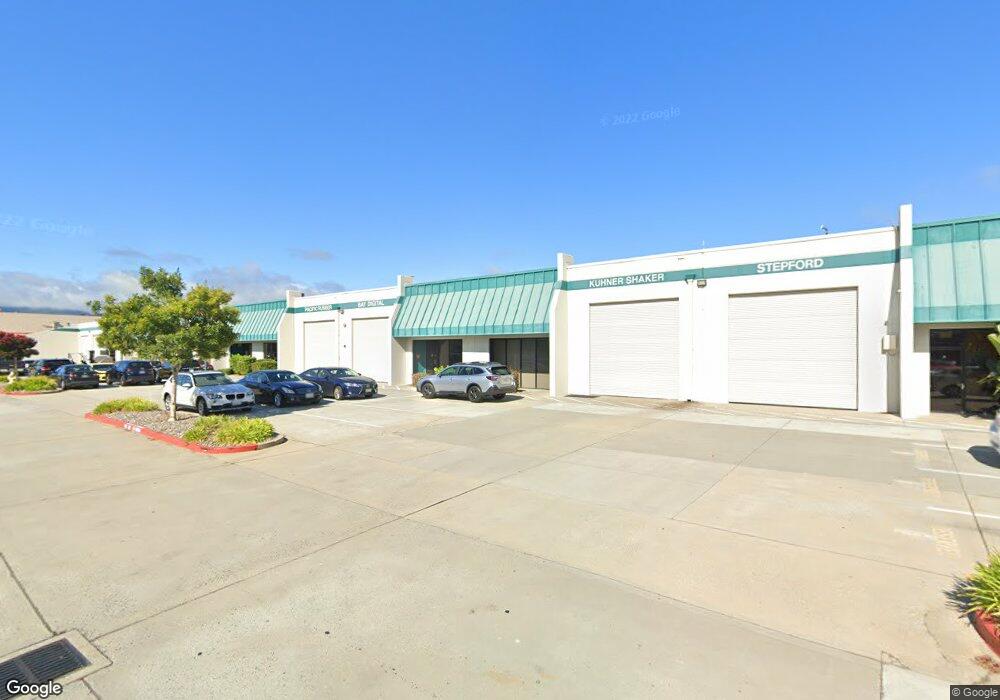
1160 Industrial Rd Unit 11 San Carlos, CA 94070
Clearfield Park NeighborhoodEstimated Value: $2,781,339
--
Bed
--
Bath
7,385
Sq Ft
$377/Sq Ft
Est. Value
About This Home
This home is located at 1160 Industrial Rd Unit 11, San Carlos, CA 94070 and is currently estimated at $2,781,339, approximately $376 per square foot. 1160 Industrial Rd Unit 11 is a home located in San Mateo County with nearby schools including Brittan Acres Elementary School, Central Middle School, and Sequoia High School.
Ownership History
Date
Name
Owned For
Owner Type
Purchase Details
Closed on
Aug 24, 2015
Sold by
Arata Elsa Dallmar
Bought by
Arata Elsa Dallmar
Current Estimated Value
Purchase Details
Closed on
Feb 28, 2013
Sold by
Arata Don
Bought by
Arata Elsa Dallmar
Purchase Details
Closed on
Nov 30, 2005
Sold by
Phillips Meriam
Bought by
Arata Don and Arata Elsa D
Purchase Details
Closed on
May 26, 1998
Sold by
Phillips Raymond P Sr & M 1992 Trusts and Meriam
Bought by
Phillips Meriam
Create a Home Valuation Report for This Property
The Home Valuation Report is an in-depth analysis detailing your home's value as well as a comparison with similar homes in the area
Home Values in the Area
Average Home Value in this Area
Purchase History
| Date | Buyer | Sale Price | Title Company |
|---|---|---|---|
| Arata Elsa Dallmar | -- | None Available | |
| Arata Elsa Dallmar | -- | None Available | |
| Arata Don | -- | None Available | |
| Arata Don | $1,400,000 | First American Title Ins Co | |
| Phillips Meriam | -- | -- |
Source: Public Records
Tax History Compared to Growth
Tax History
| Year | Tax Paid | Tax Assessment Tax Assessment Total Assessment is a certain percentage of the fair market value that is determined by local assessors to be the total taxable value of land and additions on the property. | Land | Improvement |
|---|---|---|---|---|
| 2025 | $22,730 | $1,913,203 | $819,943 | $1,093,260 |
| 2023 | $22,730 | $1,838,912 | $788,104 | $1,050,808 |
| 2022 | $22,113 | $1,802,855 | $772,651 | $1,030,204 |
| 2021 | $21,814 | $1,767,505 | $757,501 | $1,010,004 |
| 2020 | $20,882 | $1,749,382 | $749,734 | $999,648 |
| 2019 | $20,645 | $1,715,082 | $735,034 | $980,048 |
| 2018 | $20,288 | $1,681,454 | $720,622 | $960,832 |
| 2017 | $20,199 | $1,648,486 | $706,493 | $941,993 |
| 2016 | $19,467 | $1,616,164 | $692,641 | $923,523 |
| 2015 | $19,459 | $1,591,888 | $682,237 | $909,651 |
| 2014 | $18,970 | $1,560,706 | $668,873 | $891,833 |
Source: Public Records
Map
Nearby Homes
- 1463 Greenwood Ave
- 926 Rosewood Ave
- 1501 Cherry St Unit 410
- 1761 Laurel St
- 1047 Cherry St
- 112 F St
- 782 Elm St Unit C
- 728 Elm St Unit 205
- 657 Walnut St Unit 301
- 136 Finger Ave Unit 138
- 1555 Cherry St Unit 12
- 560 El Camino Real Unit 404
- 560 El Camino Real Unit 206
- 520 El Camino Real Unit 307
- 520 El Camino Real Unit 201
- 656 Cedar St Unit 3
- 55 Claremont Ave Unit 301
- 1140 Whipple Ave Unit 21
- 1140 Whipple Ave Unit 22
- 1667 San Carlos Ave Unit 301
- 1160 Industrial Rd Unit 6
- 1160 Industrial Rd Unit 17
- 1160 Industrial Rd
- 1160 Industrial Rd Unit 7
- 1160 Industrial Rd Unit 16
- 1100 Industrial Rd Unit 6
- 1100 Industrial Rd Unit 14
- 1100 Industrial Rd Unit 2
- 1200 Industrial Rd Unit 7
- 1200 Industrial Rd Unit 10
- 5 Brittan Ave Unit 5
- 990 Industrial Rd
- 1300 Industrial Rd Unit 11
- 1300 Industrial Rd Unit 10
- 1300 Industrial Rd Unit 12
- 1300 Industrial Rd Unit 8
- 1300 Industrial Rd Unit 13
- 1300 Industrial Rd Unit 20
- 1300 Industrial Rd
- 1135 Industrial Rd