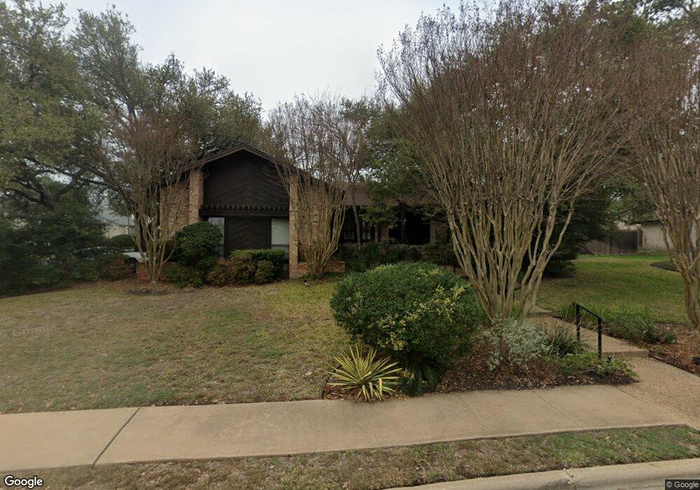
11608 Jamieson Dr Austin, TX 78750
Canyon Creek NeighborhoodEstimated Value: $771,527 - $866,000
--
Bed
3
Baths
2,120
Sq Ft
$387/Sq Ft
Est. Value
About This Home
This home is located at 11608 Jamieson Dr, Austin, TX 78750 and is currently estimated at $821,382, approximately $387 per square foot. 11608 Jamieson Dr is a home located in Travis County with nearby schools including Spicewood Elementary School, Canyon Vista Middle, and Westwood High School.
Ownership History
Date
Name
Owned For
Owner Type
Purchase Details
Closed on
Mar 21, 2002
Sold by
Adams Allan W
Bought by
Allan Adams Family Trust
Current Estimated Value
Purchase Details
Closed on
Feb 28, 1995
Sold by
Smith Frank Y and Smith Yvette
Bought by
Adams Allan W
Home Financials for this Owner
Home Financials are based on the most recent Mortgage that was taken out on this home.
Original Mortgage
$72,500
Interest Rate
8%
Create a Home Valuation Report for This Property
The Home Valuation Report is an in-depth analysis detailing your home's value as well as a comparison with similar homes in the area
Home Values in the Area
Average Home Value in this Area
Purchase History
| Date | Buyer | Sale Price | Title Company |
|---|---|---|---|
| Allan Adams Family Trust | -- | -- | |
| Adams Allan W | -- | -- |
Source: Public Records
Mortgage History
| Date | Status | Borrower | Loan Amount |
|---|---|---|---|
| Closed | Adams Allan W | $72,500 |
Source: Public Records
Tax History Compared to Growth
Tax History
| Year | Tax Paid | Tax Assessment Tax Assessment Total Assessment is a certain percentage of the fair market value that is determined by local assessors to be the total taxable value of land and additions on the property. | Land | Improvement |
|---|---|---|---|---|
| 2025 | $4,573 | $764,694 | $400,000 | $364,694 |
| 2023 | $4,573 | $650,711 | $0 | $0 |
| 2022 | $12,073 | $591,555 | $0 | $0 |
| 2021 | $12,092 | $537,777 | $200,000 | $371,742 |
| 2020 | $11,037 | $488,888 | $200,000 | $288,888 |
| 2018 | $10,379 | $446,071 | $200,000 | $281,858 |
| 2017 | $9,613 | $405,519 | $165,000 | $291,938 |
| 2016 | $8,739 | $368,654 | $165,000 | $258,915 |
| 2015 | $5,211 | $335,140 | $70,000 | $285,842 |
| 2014 | $5,211 | $304,673 | $0 | $0 |
Source: Public Records
Map
Nearby Homes
- 11302 Centennial Trail
- 10903 Cade Cir
- 11402 Pickfair Dr
- 11533 Sandy Loam Trail
- 11310 Spicewood Club Dr Unit 12
- 11310 Spicewood Club Dr Unit 21
- 11000 Anderson Mill Rd Unit 96
- 11000 Anderson Mill Rd Unit 63
- 11512 Tin Cup Dr Unit 309
- 11512 Tin Cup Dr Unit 205
- 10903 Centennial Trail
- 10606 Mourning Dove Dr
- 11100 Alison Parke Trail
- 11007 Opal Trail
- 10601 Queensbury Cove
- 10713 Yorktown Trail
- 10768 Bramblecrest Dr
- 10404 Mourning Dove Dr
- 10255 Missel Thrush Dr
- 11203 Andenwood Dr
- 11604 Jamieson Dr
- 10521 Glass Mountain Trail
- 10526 Glass Mountain Trail
- 11607 Jamieson Dr
- 10528 Glass Mountain Trail
- 10524 Glass Mountain Trail
- 11302 Taterwood Dr
- 11602 Jamieson Dr
- 10530 Glass Mountain Trail
- 10519 Glass Mountain Trail
- 11605 Jamieson Dr
- 10522 Glass Mountain Trail
- 11304 Taterwood Dr
- 11603 Jamieson Dr
- 10520 Glass Mountain Trail
- 10517 Glass Mountain Trail
- 10600 Glass Mountain Trail
- 10603 Glass Mountain Trail
- 11205 Centennial Trail
- 11306 Taterwood Dr