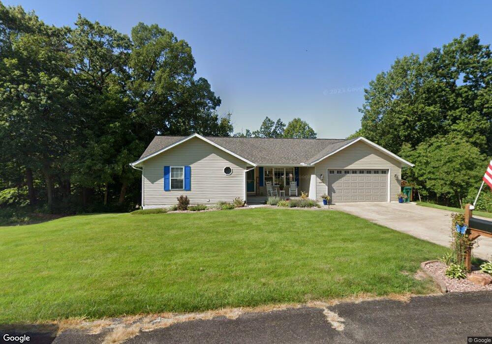
117 Linda St East Peoria, IL 61611
Estimated Value: $179,000 - $236,000
3
Beds
2
Baths
1,352
Sq Ft
$153/Sq Ft
Est. Value
About This Home
This home is located at 117 Linda St, East Peoria, IL 61611 and is currently estimated at $207,223, approximately $153 per square foot. 117 Linda St is a home located in Tazewell County with nearby schools including Don D. Shute Elementary School, Lincoln Elementary School, and Central Junior High School.
Ownership History
Date
Name
Owned For
Owner Type
Purchase Details
Closed on
May 4, 2005
Sold by
Andrews Shannon L
Bought by
Wright William A
Current Estimated Value
Home Financials for this Owner
Home Financials are based on the most recent Mortgage that was taken out on this home.
Original Mortgage
$55,000
Outstanding Balance
$29,063
Interest Rate
6.05%
Mortgage Type
New Conventional
Estimated Equity
$178,160
Create a Home Valuation Report for This Property
The Home Valuation Report is an in-depth analysis detailing your home's value as well as a comparison with similar homes in the area
Home Values in the Area
Average Home Value in this Area
Purchase History
| Date | Buyer | Sale Price | Title Company |
|---|---|---|---|
| Wright William A | $160,000 | -- |
Source: Public Records
Mortgage History
| Date | Status | Borrower | Loan Amount |
|---|---|---|---|
| Open | Wright William A | $55,000 |
Source: Public Records
Tax History Compared to Growth
Tax History
| Year | Tax Paid | Tax Assessment Tax Assessment Total Assessment is a certain percentage of the fair market value that is determined by local assessors to be the total taxable value of land and additions on the property. | Land | Improvement |
|---|---|---|---|---|
| 2024 | $4,385 | $55,990 | $9,860 | $46,130 |
| 2023 | $4,385 | $51,400 | $9,050 | $42,350 |
| 2022 | $4,127 | $47,540 | $8,370 | $39,170 |
| 2021 | $3,938 | $45,710 | $8,050 | $37,660 |
| 2020 | $3,850 | $45,710 | $8,050 | $37,660 |
| 2019 | $4,834 | $56,210 | $8,050 | $48,160 |
| 2018 | $4,700 | $56,210 | $8,050 | $48,160 |
| 2017 | $4,651 | $56,210 | $8,050 | $48,160 |
| 2016 | $3,873 | $48,360 | $5,130 | $43,230 |
| 2015 | $3,667 | $0 | $0 | $0 |
| 2013 | $3,691 | $46,850 | $4,970 | $41,880 |
Source: Public Records
Map
Nearby Homes
- 101 Woodbrook Ct
- 2217 Springfield Rd
- 106 Field Grove Rd
- 1604 Springfield Rd
- 129 Glenridge Dr
- 515 Briarbrook Dr
- 1406 Springfield Rd
- 409 Briarbrook Dr
- 301 Briarbrook Dr
- Lot 1 Briarbrook Dr
- Lot 2 Briarbrook Dr
- 015 Harris Rd
- Lot 4 Harris Rd
- 108 Kohl St
- 404 Rainbow Dr
- 1004 Springfield Rd
- 0 Pinecrest Dr
- 110 Susan Ct
- 122 Susan Ct
- 126 Susan Ct