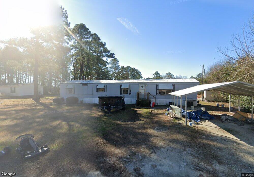
117 Wilson Ave Richlands, NC 28574
Estimated Value: $75,190 - $149,000
--
Bed
--
Bath
--
Sq Ft
0.42
Acres
About This Home
This home is located at 117 Wilson Ave, Richlands, NC 28574 and is currently estimated at $122,798. 117 Wilson Ave is a home with nearby schools including Richlands Elementary School, Trexler Middle School, and Richlands High School.
Ownership History
Date
Name
Owned For
Owner Type
Purchase Details
Closed on
Oct 23, 2025
Sold by
Broughton Johnny L
Bought by
Miller Dennis E
Current Estimated Value
Purchase Details
Closed on
Jan 20, 2022
Sold by
Wayne Cook Jr Ronald
Bought by
Broughton Johnny L
Purchase Details
Closed on
Mar 9, 2011
Sold by
Cox Robert L and The Robert E Cox & Sue Jacquel
Bought by
Cox Robert L
Purchase Details
Closed on
Sep 28, 2006
Sold by
Havard Tommy and Havard Stephanie
Bought by
Dolan Geoffrey and Dolan Andrea
Home Financials for this Owner
Home Financials are based on the most recent Mortgage that was taken out on this home.
Original Mortgage
$79,166
Interest Rate
6.39%
Mortgage Type
VA
Create a Home Valuation Report for This Property
The Home Valuation Report is an in-depth analysis detailing your home's value as well as a comparison with similar homes in the area
Home Values in the Area
Average Home Value in this Area
Purchase History
| Date | Buyer | Sale Price | Title Company |
|---|---|---|---|
| Miller Dennis E | $35,000 | None Listed On Document | |
| Broughton Johnny L | -- | Tisdale Mcconnell & Bardill Ll | |
| Cox Robert L | -- | None Available | |
| Dolan Geoffrey | $77,500 | None Available |
Source: Public Records
Mortgage History
| Date | Status | Borrower | Loan Amount |
|---|---|---|---|
| Previous Owner | Dolan Geoffrey | $79,166 |
Source: Public Records
Tax History Compared to Growth
Tax History
| Year | Tax Paid | Tax Assessment Tax Assessment Total Assessment is a certain percentage of the fair market value that is determined by local assessors to be the total taxable value of land and additions on the property. | Land | Improvement |
|---|---|---|---|---|
| 2025 | $131 | $20,020 | $19,780 | $240 |
| 2024 | $131 | $20,020 | $19,780 | $240 |
| 2023 | $131 | $20,020 | $19,780 | $240 |
| 2022 | $131 | $20,020 | $19,780 | $240 |
| 2021 | $106 | $15,070 | $14,510 | $560 |
| 2020 | $106 | $15,070 | $14,510 | $560 |
| 2019 | $106 | $15,070 | $14,510 | $560 |
| 2018 | $106 | $15,070 | $14,510 | $560 |
| 2017 | $102 | $15,070 | $14,510 | $560 |
| 2016 | $134 | $19,854 | $0 | $0 |
| 2015 | $136 | $20,082 | $0 | $0 |
| 2014 | $136 | $20,309 | $0 | $0 |
Source: Public Records
Map
Nearby Homes
- 601 Central Park Way
- 745 Greenwich Place
- 749 Greenwich Place
- Plan 1522 at Waverly Place
- Plan 1830 at Waverly Place
- Plan 2604 at Waverly Place
- Plan 1727 at Waverly Place
- Plan 1634 at Waverly Place
- 751 Greenwich Place
- Plan 1434 at Waverly Place
- Plan 3105 at Waverly Place
- 722 Greenwich Place
- 149 Huffmantown Rd
- 978 Kinston Hwy
- 580 Koonce Fork Rd
- 424 Huffmantown Rd
- 444 Huffmantown
- 304 W Foy St
- 523 Huffmantown Rd
- 203 W Foy St