Estimated Value: $314,000 - $385,000
3
Beds
1
Bath
1,386
Sq Ft
$256/Sq Ft
Est. Value
About This Home
This home is located at 11733 W Russell Rd, Zion, IL 60099 and is currently estimated at $355,195, approximately $256 per square foot. 11733 W Russell Rd is a home located in Lake County with nearby schools including Kenneth Murphy School, Beach Park Middle School, and Zion-Benton Township High School.
Ownership History
Date
Name
Owned For
Owner Type
Purchase Details
Closed on
Jun 9, 2022
Sold by
Lyle And Marlene Snyder Trust
Bought by
Perron Robert R and Geer Kristen
Current Estimated Value
Home Financials for this Owner
Home Financials are based on the most recent Mortgage that was taken out on this home.
Original Mortgage
$240,000
Outstanding Balance
$228,000
Interest Rate
5.09%
Mortgage Type
New Conventional
Estimated Equity
$127,195
Purchase Details
Closed on
Apr 30, 2012
Sold by
Snyder Lyle L and Snyder Marlene M
Bought by
Snyder Lyle L and Snyder Marlene M
Create a Home Valuation Report for This Property
The Home Valuation Report is an in-depth analysis detailing your home's value as well as a comparison with similar homes in the area
Home Values in the Area
Average Home Value in this Area
Purchase History
| Date | Buyer | Sale Price | Title Company |
|---|---|---|---|
| Perron Robert R | $300,000 | New Title Company Name | |
| Snyder Lyle L | -- | None Available |
Source: Public Records
Mortgage History
| Date | Status | Borrower | Loan Amount |
|---|---|---|---|
| Open | Perron Robert R | $240,000 |
Source: Public Records
Tax History Compared to Growth
Tax History
| Year | Tax Paid | Tax Assessment Tax Assessment Total Assessment is a certain percentage of the fair market value that is determined by local assessors to be the total taxable value of land and additions on the property. | Land | Improvement |
|---|---|---|---|---|
| 2024 | -- | $92,477 | $26,449 | $66,028 |
| 2023 | $6,366 | $80,636 | $25,532 | $55,104 |
| 2022 | $6,366 | $74,913 | $25,317 | $49,596 |
| 2021 | $6,259 | $70,271 | $24,673 | $45,598 |
| 2020 | $5,808 | $67,059 | $23,545 | $43,514 |
| 2019 | $6,052 | $63,624 | $22,339 | $41,285 |
| 2018 | $6,729 | $71,905 | $28,615 | $43,290 |
| 2017 | $7,153 | $67,643 | $26,919 | $40,724 |
| 2016 | $6,928 | $64,397 | $25,627 | $38,770 |
| 2015 | $6,650 | $59,058 | $23,502 | $35,556 |
| 2014 | $6,380 | $60,079 | $21,857 | $38,222 |
| 2012 | $6,609 | $62,432 | $22,713 | $39,719 |
Source: Public Records
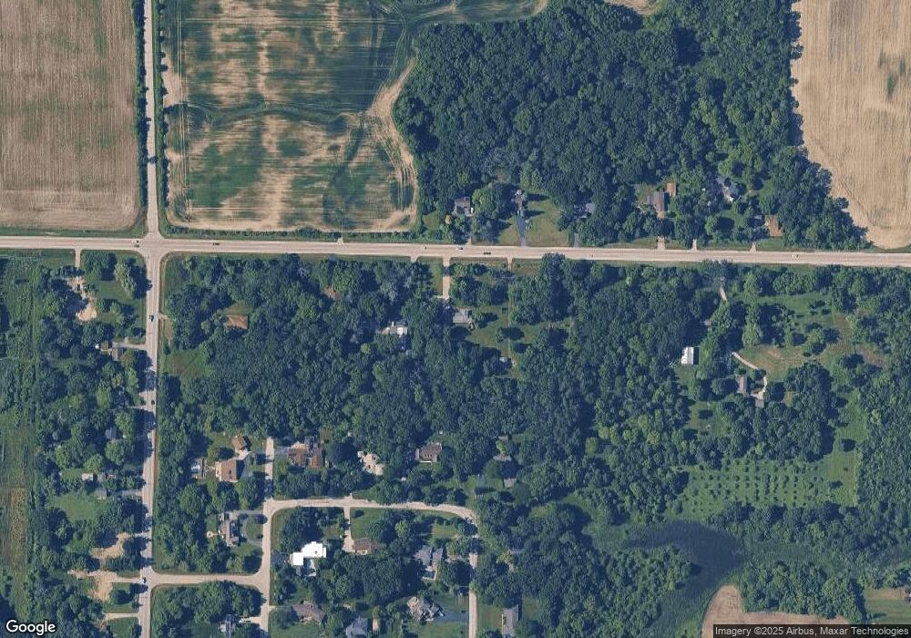
Map
Nearby Homes