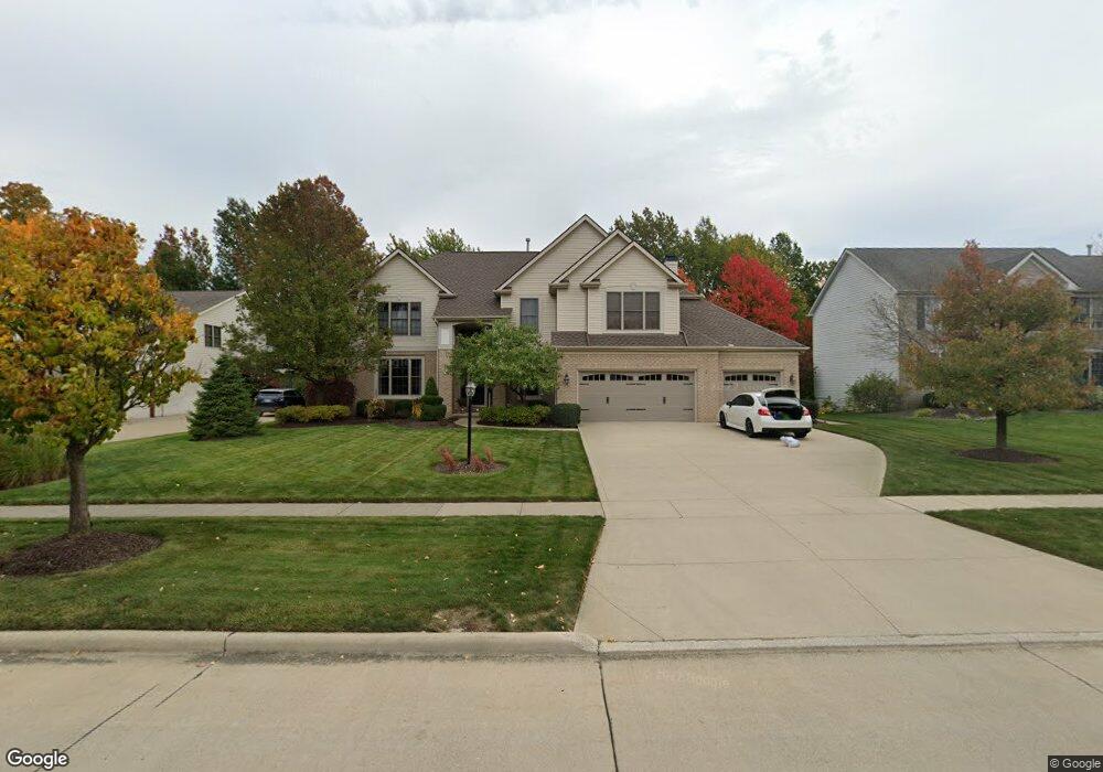
11753 Fox Grove Strongsville, OH 44149
Estimated Value: $587,000 - $686,000
4
Beds
4
Baths
3,606
Sq Ft
$178/Sq Ft
Est. Value
About This Home
This home is located at 11753 Fox Grove, Strongsville, OH 44149 and is currently estimated at $640,461, approximately $177 per square foot. 11753 Fox Grove is a home located in Cuyahoga County with nearby schools including Strongsville High School and Sts Joseph & John Interparochial School.
Ownership History
Date
Name
Owned For
Owner Type
Purchase Details
Closed on
May 1, 2009
Sold by
Furgason Kevin J and Furgason Jill M
Bought by
Iammarino David S and Iammarino Irene I
Current Estimated Value
Home Financials for this Owner
Home Financials are based on the most recent Mortgage that was taken out on this home.
Original Mortgage
$336,000
Outstanding Balance
$214,568
Interest Rate
5.05%
Mortgage Type
Purchase Money Mortgage
Estimated Equity
$425,893
Purchase Details
Closed on
Jan 17, 2003
Sold by
Parkview Homes Inc
Bought by
Furgason Kevin J and Furgason Jill M
Home Financials for this Owner
Home Financials are based on the most recent Mortgage that was taken out on this home.
Original Mortgage
$282,400
Interest Rate
6.06%
Create a Home Valuation Report for This Property
The Home Valuation Report is an in-depth analysis detailing your home's value as well as a comparison with similar homes in the area
Home Values in the Area
Average Home Value in this Area
Purchase History
| Date | Buyer | Sale Price | Title Company |
|---|---|---|---|
| Iammarino David S | $378,000 | Attorney | |
| Furgason Kevin J | $353,000 | Chicago Title Insurance Co |
Source: Public Records
Mortgage History
| Date | Status | Borrower | Loan Amount |
|---|---|---|---|
| Open | Iammarino David S | $336,000 | |
| Previous Owner | Furgason Kevin J | $282,400 | |
| Closed | Furgason Kevin J | $35,300 |
Source: Public Records
Tax History Compared to Growth
Tax History
| Year | Tax Paid | Tax Assessment Tax Assessment Total Assessment is a certain percentage of the fair market value that is determined by local assessors to be the total taxable value of land and additions on the property. | Land | Improvement |
|---|---|---|---|---|
| 2024 | $9,380 | $199,780 | $39,655 | $160,125 |
| 2023 | $9,904 | $158,170 | $33,810 | $124,360 |
| 2022 | $9,832 | $158,170 | $33,810 | $124,360 |
| 2021 | $9,754 | $158,170 | $33,810 | $124,360 |
| 2020 | $10,307 | $147,840 | $31,610 | $116,240 |
| 2019 | $10,004 | $422,400 | $90,300 | $332,100 |
| 2018 | $8,919 | $147,840 | $31,610 | $116,240 |
| 2017 | $8,921 | $134,470 | $29,470 | $105,000 |
| 2016 | $8,848 | $134,470 | $29,470 | $105,000 |
| 2015 | $8,387 | $134,470 | $29,470 | $105,000 |
| 2014 | $8,387 | $125,690 | $27,550 | $98,140 |
Source: Public Records
Map
Nearby Homes
- 11030 Southwind Ct
- 12515 Countryside Dr
- 12579 Woodberry Ln
- 21359 Briar Bush Ln
- 10842 Fence Row Dr
- 21469 Woodview Cir
- 10824 Watercress Rd
- 22235 North Trail
- 10353 Oak Branch Trail
- 0 Priem Rd
- 10800 Meadow Trail
- 21176 Hickory Branch Trail
- 22300 Rock Creek Cir
- 10839 Prospect Rd
- 22125 Olde Creek Trail
- 21292 Creekside Dr
- 9829 Plum Brook Ln
- 20684 Albion Rd
- 23686 Wally's Way
- 10001 N Marks Rd
- 11711 Fox Grove
- 11795 Fox Grove
- 22298 Horseshoe Ln
- 11837 Fox Grove
- 11669 Fox Grove
- 22280 Horseshoe Ln
- 11904 Coopers Run
- 22287 Horseshoe Ln
- 11690 Fox Grove
- 11774 Fox Grove
- 11648 Fox Grove
- 11816 Fox Grove
- 11926 Coopers Run
- 22262 Horseshoe Ln
- 22269 Horseshoe Ln
- 11627 Fox Grove
- 11921 Fox Grove
- 11703 Greystone Point
- 11747 Greystone Point
- 11725 Greystone Point