118 Cracker Trail Burnsville, NC 28714
Estimated Value: $228,000 - $297,000
3
Beds
1
Bath
1,008
Sq Ft
$256/Sq Ft
Est. Value
About This Home
This home is located at 118 Cracker Trail, Burnsville, NC 28714 and is currently estimated at $258,074, approximately $256 per square foot. 118 Cracker Trail is a home with nearby schools including Mountain Heritage High School.
Ownership History
Date
Name
Owned For
Owner Type
Purchase Details
Closed on
Aug 30, 2021
Sold by
Gravois John M and Gravois Martha K
Bought by
Littell Darrell Dean and Littell Lois Annette
Current Estimated Value
Purchase Details
Closed on
Oct 10, 2019
Sold by
Gravois John M and Gravois Martha K
Bought by
Gravois Ret
Purchase Details
Closed on
Jan 3, 2005
Sold by
Altman Larry Pierce
Bought by
Gravois John M and Gravois Martha K
Create a Home Valuation Report for This Property
The Home Valuation Report is an in-depth analysis detailing your home's value as well as a comparison with similar homes in the area
Home Values in the Area
Average Home Value in this Area
Purchase History
| Date | Buyer | Sale Price | Title Company |
|---|---|---|---|
| Littell Darrell Dean | $180,000 | None Available | |
| Gravois Ret | -- | -- | |
| Gravois John M | -- | None Available |
Source: Public Records
Tax History Compared to Growth
Tax History
| Year | Tax Paid | Tax Assessment Tax Assessment Total Assessment is a certain percentage of the fair market value that is determined by local assessors to be the total taxable value of land and additions on the property. | Land | Improvement |
|---|---|---|---|---|
| 2025 | $1,380 | $242,100 | $99,300 | $142,800 |
| 2024 | $1,380 | $242,100 | $99,300 | $142,800 |
| 2023 | $816 | $125,580 | $38,000 | $87,580 |
| 2022 | $800 | $125,580 | $38,000 | $87,580 |
| 2021 | $816 | $125,580 | $38,000 | $87,580 |
| 2020 | $816 | $125,580 | $38,000 | $87,580 |
| 2019 | $816 | $125,580 | $38,000 | $87,580 |
| 2018 | $816 | $125,580 | $38,000 | $87,580 |
| 2017 | $816 | $125,580 | $38,000 | $87,580 |
| 2016 | $816 | $125,580 | $38,000 | $87,580 |
| 2015 | $680 | $123,680 | $33,000 | $90,680 |
| 2014 | $680 | $123,680 | $33,000 | $90,680 |
Source: Public Records
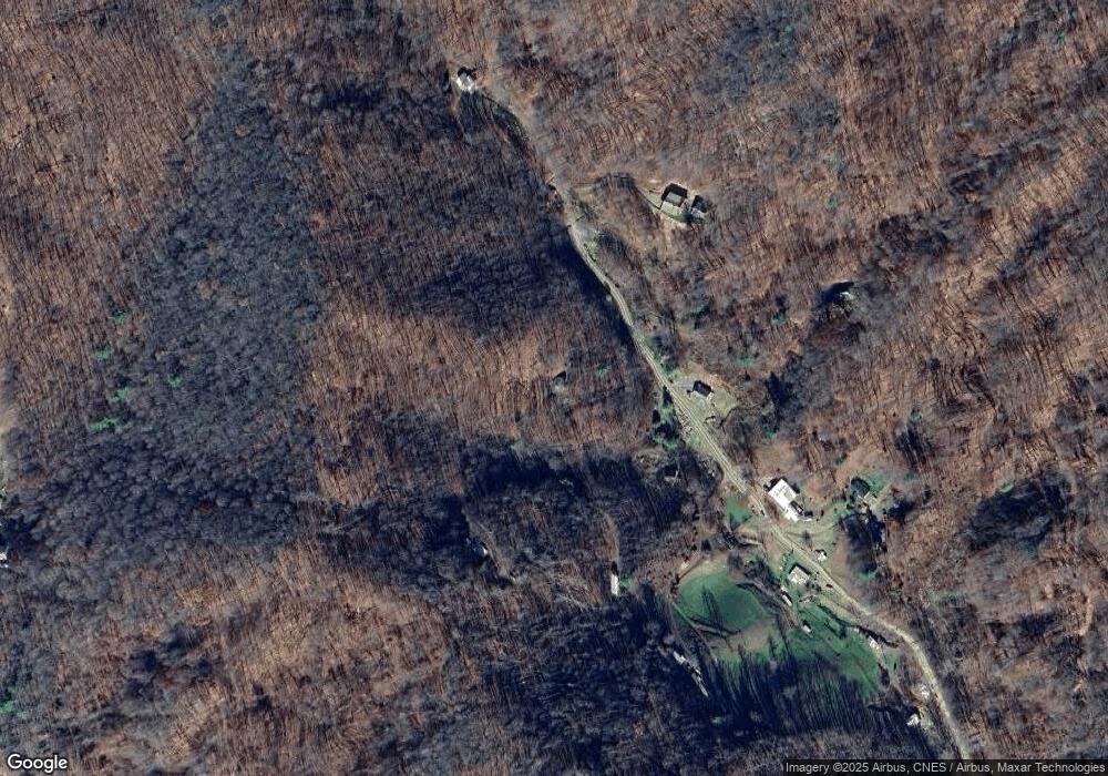
Map
Nearby Homes
- 15 +/- Acres Riddle Branch Rd
- 141 Locust Ramp Dr
- TBD Little Creek Rd
- #1 TBD Lotties Creek Rd Unit Lot 8, 39, 40, 41, 4
- #3 TBD Lotties Creek Rd Unit Lots 37, 42
- #2 TBD Lotties Creek Rd Unit Lots 19, 20, 23,25,2
- 2812 Bald Mountain Rd
- 1099 Silas Branch Rd
- 1393 Bald Mountain Rd
- 1905 Little Creek Rd
- 469 Hensley Branch Rd
- 0000 Bee Log Rd
- 261 Grouse Thicket Ln
- 0 Grouse Thicket Ln Unit Lot 262
- 244 & 245 Grouse Thicket Ln
- 337 Hamlin Ln Unit 96
- 000 Tearshirt Ln Unit 268
- 00 Tearshirt Ln Unit 308/309
- 186 Hamlin Ln
- 544 Tearshirt Ln Unit 310,311,325
- 79 Cracker Trail
- 1108 Riddle Branch Rd
- 119 Cracker Trail
- 1016 Riddle Branch Rd
- 75 Cracker Trail
- 1197 Riddle Branch Rd
- 1058 Riddle Branch Rd
- Off Riddle Branch Rd
- 879 Riddle Branch Rd
- 231 Forehand Dr
- 94 Forehand Dr
- 532 Patsy Creek Rd
- 108 Tulip Ln
- 52 Tulip Ln
- 597 Riddle Branch Rd
- 000 Patsy Creek Rd
- 0 Patsy Creek Rd Unit 3425310
- 492 Riddle Branch Rd
- 00 Roaring Fork Rd
- 2085 Lotties Creek Rd