118 Hawkins Rd Woodstock Valley, CT 06282
Estimated Value: $392,835 - $455,000
3
Beds
2
Baths
1,815
Sq Ft
$238/Sq Ft
Est. Value
About This Home
This home is located at 118 Hawkins Rd, Woodstock Valley, CT 06282 and is currently estimated at $431,709, approximately $237 per square foot. 118 Hawkins Rd is a home located in Windham County with nearby schools including Woodstock Elementary School and Woodstock Middle School.
Ownership History
Date
Name
Owned For
Owner Type
Purchase Details
Closed on
Aug 20, 2019
Sold by
Kersh Pamela H
Bought by
Shead Benjamin A
Current Estimated Value
Home Financials for this Owner
Home Financials are based on the most recent Mortgage that was taken out on this home.
Original Mortgage
$209,090
Outstanding Balance
$182,726
Interest Rate
3.7%
Mortgage Type
New Conventional
Estimated Equity
$248,983
Purchase Details
Closed on
Jul 29, 2019
Sold by
Harding Helen P
Bought by
Kersh Pamela H and Holt Doreen H
Home Financials for this Owner
Home Financials are based on the most recent Mortgage that was taken out on this home.
Original Mortgage
$209,090
Outstanding Balance
$182,726
Interest Rate
3.7%
Mortgage Type
New Conventional
Estimated Equity
$248,983
Purchase Details
Closed on
Sep 21, 2010
Sold by
Harding Everett T and Harding Helen P
Bought by
Kersh Pamela H and Holt Doreen H
Create a Home Valuation Report for This Property
The Home Valuation Report is an in-depth analysis detailing your home's value as well as a comparison with similar homes in the area
Home Values in the Area
Average Home Value in this Area
Purchase History
| Date | Buyer | Sale Price | Title Company |
|---|---|---|---|
| Shead Benjamin A | $207,000 | -- | |
| Kersh Pamela H | -- | -- | |
| Kersh Pamela H | -- | -- |
Source: Public Records
Mortgage History
| Date | Status | Borrower | Loan Amount |
|---|---|---|---|
| Open | Shead Benjamin A | $209,090 |
Source: Public Records
Tax History Compared to Growth
Tax History
| Year | Tax Paid | Tax Assessment Tax Assessment Total Assessment is a certain percentage of the fair market value that is determined by local assessors to be the total taxable value of land and additions on the property. | Land | Improvement |
|---|---|---|---|---|
| 2025 | $4,574 | $187,400 | $37,500 | $149,900 |
| 2024 | $4,318 | $187,400 | $37,500 | $149,900 |
| 2023 | $4,200 | $187,400 | $37,500 | $149,900 |
| 2022 | $3,907 | $187,400 | $37,500 | $149,900 |
| 2021 | $4,118 | $161,500 | $37,500 | $124,000 |
| 2020 | $3,352 | $136,800 | $37,500 | $99,300 |
| 2019 | $814 | $136,800 | $37,500 | $99,300 |
| 2018 | $3,352 | $136,800 | $37,500 | $99,300 |
| 2017 | $3,324 | $136,800 | $37,500 | $99,300 |
| 2016 | $3,342 | $139,000 | $42,700 | $96,300 |
| 2015 | $3,247 | $139,000 | $42,700 | $96,300 |
| 2014 | $3,211 | $139,000 | $42,700 | $96,300 |
Source: Public Records
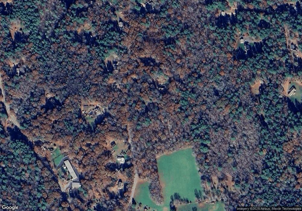
Map
Nearby Homes
- 86A County Rd
- Lot 4A Weeks Rd
- 60 Indian Spring Rd
- 8 Nahaco Hill Ln
- 402 Perrin Rd
- 5 Nahaco Hill Ln
- 89 John Perry Rd
- 23 Little Bungee Hill Rd
- 96 Westford Rd
- 30 Lyon Rd
- 0 Hemlock Dr
- 211 Old Colony Rd
- 29 Crooked Trail Extension
- 19 Hiawatha Heights
- 145 Perrin Rd
- 0 Boston Turnpike
- 80 Bungay Hill Rd
- 70 Laurel Hill Dr
- 140 Ragged Hill Rd
- 381 Bungay Hill Rd