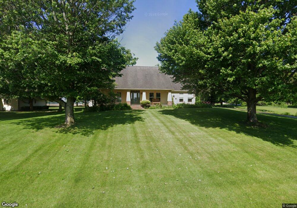
118 Smoke Rd Valparaiso, IN 46385
Porter County NeighborhoodEstimated Value: $458,000 - $516,000
3
Beds
3
Baths
2,805
Sq Ft
$169/Sq Ft
Est. Value
About This Home
This home is located at 118 Smoke Rd, Valparaiso, IN 46385 and is currently estimated at $475,348, approximately $169 per square foot. 118 Smoke Rd is a home located in Porter County with nearby schools including Morgan Township Elementary School and Morgan Township Middle/High School.
Ownership History
Date
Name
Owned For
Owner Type
Purchase Details
Closed on
Nov 22, 2024
Sold by
Morris R Wiegand Living Trust and Wiegand John
Bought by
Pedersen Zachary S
Current Estimated Value
Home Financials for this Owner
Home Financials are based on the most recent Mortgage that was taken out on this home.
Original Mortgage
$422,750
Outstanding Balance
$418,280
Interest Rate
6.32%
Mortgage Type
New Conventional
Estimated Equity
$57,068
Purchase Details
Closed on
Sep 12, 2022
Sold by
Wiegand Morris R
Bought by
Morris R Wiegand Living Trust and Wiegand
Purchase Details
Closed on
Mar 15, 2021
Sold by
Wiegand Morris R
Bought by
Wiegand Morris R and Wiegand John J
Purchase Details
Closed on
Mar 31, 2020
Sold by
Burns Jeffery B and Burns Dawn M
Bought by
Wiegand Morris R
Create a Home Valuation Report for This Property
The Home Valuation Report is an in-depth analysis detailing your home's value as well as a comparison with similar homes in the area
Home Values in the Area
Average Home Value in this Area
Purchase History
| Date | Buyer | Sale Price | Title Company |
|---|---|---|---|
| Pedersen Zachary S | -- | Chicago Title | |
| Pedersen Zachary S | -- | Chicago Title | |
| Morris R Wiegand Living Trust | -- | None Listed On Document | |
| Morris R Wigand Living Trust | -- | None Listed On Document | |
| Wiegand Morris R | -- | None Listed On Document | |
| Wiegand Morris R | $420,000 | Meridian Title Corp |
Source: Public Records
Mortgage History
| Date | Status | Borrower | Loan Amount |
|---|---|---|---|
| Open | Pedersen Zachary S | $422,750 | |
| Closed | Pedersen Zachary S | $422,750 |
Source: Public Records
Tax History Compared to Growth
Tax History
| Year | Tax Paid | Tax Assessment Tax Assessment Total Assessment is a certain percentage of the fair market value that is determined by local assessors to be the total taxable value of land and additions on the property. | Land | Improvement |
|---|---|---|---|---|
| 2024 | $3,190 | $481,300 | $37,400 | $443,900 |
| 2023 | $3,050 | $432,300 | $32,800 | $399,500 |
| 2022 | $3,064 | $397,700 | $32,800 | $364,900 |
| 2021 | $3,133 | $367,400 | $32,800 | $334,600 |
| 2020 | $2,788 | $335,400 | $28,600 | $306,800 |
| 2019 | $2,697 | $315,000 | $28,600 | $286,400 |
| 2018 | $2,529 | $302,200 | $28,600 | $273,600 |
| 2017 | $2,494 | $301,100 | $28,600 | $272,500 |
| 2016 | $2,052 | $259,900 | $29,200 | $230,700 |
| 2014 | $1,997 | $242,200 | $28,300 | $213,900 |
| 2013 | -- | $230,000 | $28,600 | $201,400 |
Source: Public Records
Map
Nearby Homes
- 0 Smoke Rd
- 48 E Division Rd
- 501 Eagle Ct
- 3152 Heavilin Rd
- 3359 Blue Jay Dr
- 2655 Vivante Dr
- 197 Appaloosa Ln
- 176 S 200 W
- 183 Cimarron Dr
- 3251 Mockingbird Ln
- 2658 Arran Quay Terrace
- 3353 Field Hawk Dr
- 239 Bayberry Ct
- 2054 Lawndale Dr
- 16 S 200 W
- 1954 Lawndale Dr
- 2551 Saint Road 2
- 351 S 100 W
- 1556 Smoke Rd
- 1284 Rowley St