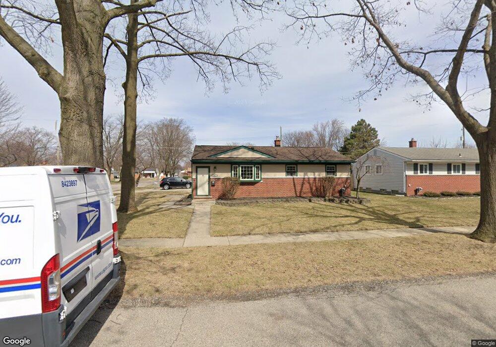
11803 Lewlund Dr Sterling Heights, MI 48313
Estimated Value: $253,768 - $286,000
3
Beds
1
Bath
1,136
Sq Ft
$242/Sq Ft
Est. Value
About This Home
This home is located at 11803 Lewlund Dr, Sterling Heights, MI 48313 and is currently estimated at $274,442, approximately $241 per square foot. 11803 Lewlund Dr is a home located in Macomb County with nearby schools including Browning Elementary School, Bemis Junior High School, and Henry Ford II High School.
Ownership History
Date
Name
Owned For
Owner Type
Purchase Details
Closed on
Jun 29, 2000
Sold by
Edwards Jeffrey R
Bought by
Kotchi Kevin
Current Estimated Value
Home Financials for this Owner
Home Financials are based on the most recent Mortgage that was taken out on this home.
Original Mortgage
$125,100
Interest Rate
8.24%
Mortgage Type
Purchase Money Mortgage
Purchase Details
Closed on
Feb 11, 1999
Sold by
Smith Juli B
Bought by
Edwards Jeffrey R
Create a Home Valuation Report for This Property
The Home Valuation Report is an in-depth analysis detailing your home's value as well as a comparison with similar homes in the area
Home Values in the Area
Average Home Value in this Area
Purchase History
| Date | Buyer | Sale Price | Title Company |
|---|---|---|---|
| Kotchi Kevin | $139,000 | -- | |
| Edwards Jeffrey R | $125,200 | -- |
Source: Public Records
Mortgage History
| Date | Status | Borrower | Loan Amount |
|---|---|---|---|
| Previous Owner | Kotchi Kevin | $125,100 |
Source: Public Records
Tax History Compared to Growth
Tax History
| Year | Tax Paid | Tax Assessment Tax Assessment Total Assessment is a certain percentage of the fair market value that is determined by local assessors to be the total taxable value of land and additions on the property. | Land | Improvement |
|---|---|---|---|---|
| 2025 | $2,563 | $133,000 | $0 | $0 |
| 2024 | $2,344 | $125,300 | $0 | $0 |
| 2023 | $2,213 | $110,500 | $0 | $0 |
| 2022 | $2,307 | $99,100 | $0 | $0 |
| 2021 | $2,259 | $94,100 | $0 | $0 |
| 2020 | $2,015 | $91,700 | $0 | $0 |
| 2019 | $2,064 | $89,600 | $0 | $0 |
| 2018 | $2,087 | $77,000 | $0 | $0 |
| 2017 | $1,994 | $73,300 | $14,300 | $59,000 |
| 2016 | $1,927 | $73,300 | $0 | $0 |
| 2015 | -- | $65,000 | $0 | $0 |
| 2014 | -- | $51,900 | $0 | $0 |
Source: Public Records
Map
Nearby Homes
- 11898 Lewlund Dr
- 11615 Diehl Dr
- 12107 19 Mile Rd
- 12133 Chattman Dr
- 11423 Delvin Dr
- 42222 Mac Rae Dr
- 42153 Mac Rae Dr
- 42049 Farm Lane Ct
- 11156 Diamond Dr
- 12840 19 Mile Rd
- 42811 Wilmington Dr
- 11827 Shetland Ct
- 42708 Wilmington Dr
- 41718 Mae Wood Dr
- 12115 Canal Rd
- 8958 Shannon Dr
- 13299 Jennilynn Ln
- 12862 Beechnut Dr
- 43263 Hartwick Dr
- 12843 Jasmine Ct
- 11815 Lewlund Dr
- 11812 Waiteley Dr
- 11826 Waiteley Dr
- 11823 Lewlund Dr
- 42721 Prince Dr
- 42709 Prince Dr
- 11754 Waiteley Dr
- 11840 Waiteley Dr
- 11802 Lewlund Dr
- 11814 Lewlund Dr
- 42681 Prince Dr
- 11835 Lewlund Dr
- 11822 Lewlund Dr
- 11740 Waiteley Dr
- 11854 Waiteley Dr
- 42669 Prince Dr
- 11878 Lewlund Dr
- 11843 Lewlund Dr
- 42646 Prince Dr
- 11728 Waiteley Dr