11833 Lady Anne Cir Cape Coral, FL 33991
Trafalgar NeighborhoodEstimated Value: $817,163 - $1,272,000
3
Beds
3
Baths
3,940
Sq Ft
$257/Sq Ft
Est. Value
About This Home
This home is located at 11833 Lady Anne Cir, Cape Coral, FL 33991 and is currently estimated at $1,010,791, approximately $256 per square foot. 11833 Lady Anne Cir is a home located in Lee County with nearby schools including Caloosa Elementary School, Tropic Isles Elementary School, and Hancock Creek Elementary School.
Ownership History
Date
Name
Owned For
Owner Type
Purchase Details
Closed on
May 2, 2008
Sold by
Manning Charles Douglas and Manning Sandra L
Bought by
Mauersberg William
Current Estimated Value
Purchase Details
Closed on
Oct 10, 2003
Sold by
Forst Michael T
Bought by
Manning Charles Douglas and Manning Sandra L
Purchase Details
Closed on
Jan 31, 2003
Sold by
Forst Jacquelyn V
Bought by
Forst Michael T
Home Financials for this Owner
Home Financials are based on the most recent Mortgage that was taken out on this home.
Original Mortgage
$32,100
Interest Rate
5.93%
Purchase Details
Closed on
May 1, 2001
Sold by
Barwick Margaret A
Bought by
Forst Michael T and Forst Jacquelyn V
Home Financials for this Owner
Home Financials are based on the most recent Mortgage that was taken out on this home.
Original Mortgage
$32,000
Interest Rate
6.9%
Purchase Details
Closed on
Jan 1, 1904
Sold by
1St Bk
Bought by
Forst Michael T
Create a Home Valuation Report for This Property
The Home Valuation Report is an in-depth analysis detailing your home's value as well as a comparison with similar homes in the area
Home Values in the Area
Average Home Value in this Area
Purchase History
| Date | Buyer | Sale Price | Title Company |
|---|---|---|---|
| Mauersberg William | $710,000 | Attorney | |
| Manning Charles Douglas | $110,000 | -- | |
| Forst Michael T | $16,100 | -- | |
| Forst Michael T | $40,300 | -- | |
| Forst Michael T | -- | -- |
Source: Public Records
Mortgage History
| Date | Status | Borrower | Loan Amount |
|---|---|---|---|
| Previous Owner | Forst Michael T | $32,100 | |
| Previous Owner | Forst Michael T | $32,000 |
Source: Public Records
Tax History Compared to Growth
Tax History
| Year | Tax Paid | Tax Assessment Tax Assessment Total Assessment is a certain percentage of the fair market value that is determined by local assessors to be the total taxable value of land and additions on the property. | Land | Improvement |
|---|---|---|---|---|
| 2025 | $10,502 | $656,827 | $152,618 | $455,134 |
| 2024 | $9,529 | $637,211 | -- | -- |
| 2023 | $9,529 | $579,283 | $0 | $0 |
| 2022 | $8,879 | $526,621 | $0 | $0 |
| 2021 | $7,666 | $479,651 | $113,100 | $366,551 |
| 2020 | $7,064 | $435,224 | $113,100 | $322,124 |
| 2019 | $6,622 | $399,714 | $84,500 | $315,214 |
| 2018 | $6,419 | $380,326 | $84,500 | $295,826 |
| 2017 | $6,084 | $351,266 | $84,500 | $266,766 |
| 2016 | $6,128 | $348,513 | $84,500 | $264,013 |
| 2015 | $5,648 | $327,020 | $86,450 | $240,570 |
| 2014 | $6,086 | $368,808 | $74,490 | $294,318 |
| 2013 | -- | $306,602 | $47,600 | $259,002 |
Source: Public Records
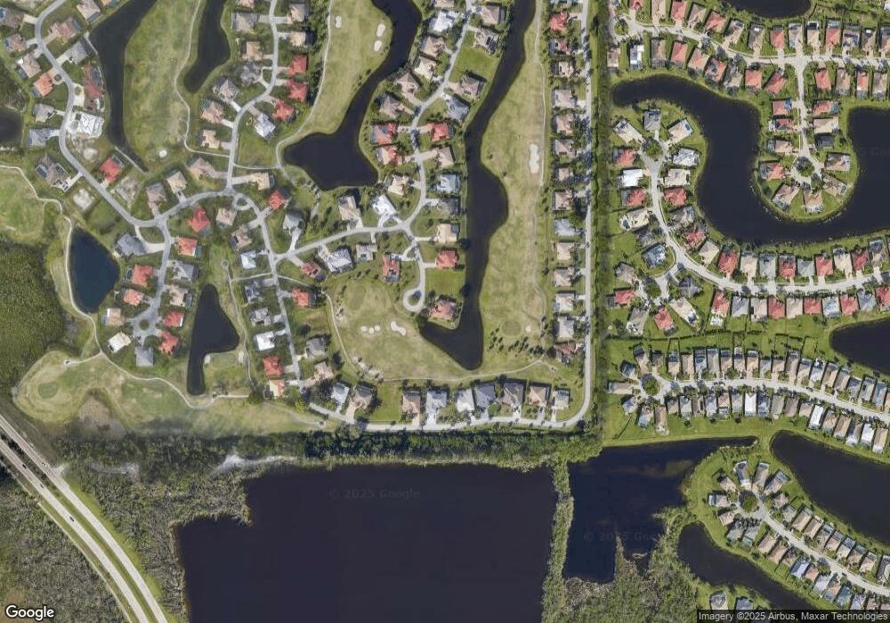
Map
Nearby Homes
- 2688 Bellingham Ct
- 11558 Royal Tee Cir
- 11784 Lady Anne Cir
- 2660 Stonyhill Ct
- 11655 Princess Margaret Ct
- 2639 Bellingham Ct
- 2620 Windwood Place
- 11728 Lady Anne Cir
- 2620 Stonyhill Ct
- 2664 Brightside Ct
- 2608 Stonyhill Ct
- 2604 Stonyhill Ct
- 2632 Fairmont Cove Ct
- 2628 Fairmont Cove Ct
- 2697 Brightside Ct
- 2635 Maraval Ct
- 16803 Prince Phillip Ct
- 2530 Greendale Place
- 2520 Hopefield Ct
- 11771 Royal Tee Cir
- 11825 Lady Anne Cir
- 11845 Lady Anne Cir
- 11821 Lady Anne Cir
- 11618 Royal Tee Cir
- 11849 Lady Anne Cir
- 11622 Royal Tee Cir
- 11817 Lady Anne Cir
- 11614 Royal Tee Cir
- 11626 Royal Tee Cir
- 11610 Royal Tee Cir
- 11820 Lady Anne Cir
- 11853 Lady Anne Cir
- 11634 Royal Tee Cir
- 11586 Royal Tee Cir
- 11590 Royal Tee Cir
- 11813 Lady Anne Cir
- 11582 Royal Tee Cir
- 11594 Royal Tee Cir
- 11606 Royal Tee Cir
- 11646 Royal Tee Cir