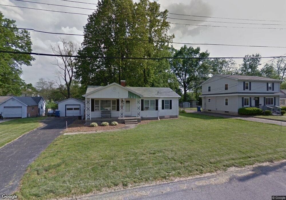
119 Brennan Ave Collinsville, IL 62234
Estimated Value: $163,469 - $192,000
4
Beds
1
Bath
1,196
Sq Ft
$146/Sq Ft
Est. Value
About This Home
This home is located at 119 Brennan Ave, Collinsville, IL 62234 and is currently estimated at $174,117, approximately $145 per square foot. 119 Brennan Ave is a home located in Madison County with nearby schools including John A Renfro Elementary School, Dorris Intermediate School, and Collinsville Middle School.
Ownership History
Date
Name
Owned For
Owner Type
Purchase Details
Closed on
Apr 17, 2003
Sold by
Lewis William W and Lewis Sharon
Bought by
Geisz Russell T
Current Estimated Value
Home Financials for this Owner
Home Financials are based on the most recent Mortgage that was taken out on this home.
Original Mortgage
$72,800
Outstanding Balance
$31,297
Interest Rate
5.76%
Mortgage Type
Purchase Money Mortgage
Estimated Equity
$142,820
Create a Home Valuation Report for This Property
The Home Valuation Report is an in-depth analysis detailing your home's value as well as a comparison with similar homes in the area
Home Values in the Area
Average Home Value in this Area
Purchase History
| Date | Buyer | Sale Price | Title Company |
|---|---|---|---|
| Geisz Russell T | $91,000 | Abstracts & Titles Inc |
Source: Public Records
Mortgage History
| Date | Status | Borrower | Loan Amount |
|---|---|---|---|
| Open | Geisz Russell T | $72,800 |
Source: Public Records
Tax History Compared to Growth
Tax History
| Year | Tax Paid | Tax Assessment Tax Assessment Total Assessment is a certain percentage of the fair market value that is determined by local assessors to be the total taxable value of land and additions on the property. | Land | Improvement |
|---|---|---|---|---|
| 2024 | $2,694 | $48,140 | $7,200 | $40,940 |
| 2023 | $2,694 | $44,550 | $6,660 | $37,890 |
| 2022 | $2,537 | $40,160 | $5,960 | $34,200 |
| 2021 | $2,192 | $37,730 | $5,600 | $32,130 |
| 2020 | $2,094 | $36,000 | $5,340 | $30,660 |
| 2019 | $2,024 | $34,770 | $5,160 | $29,610 |
| 2018 | $1,736 | $29,680 | $5,190 | $24,490 |
| 2017 | $1,722 | $29,090 | $5,090 | $24,000 |
| 2016 | $1,804 | $29,090 | $5,090 | $24,000 |
| 2015 | $1,672 | $28,340 | $4,960 | $23,380 |
| 2014 | $1,672 | $28,340 | $4,960 | $23,380 |
| 2013 | $1,672 | $28,340 | $4,960 | $23,380 |
Source: Public Records
Map
Nearby Homes
- 308 Brown Ave
- 617 N Morrison Ave
- 1224 Cedar Ridge Ct
- 123 W Wickliffe Ave
- 0 Strong Ave
- 1120 Williams St
- 1210 Constance St
- 123 Elliot St
- 5 Brookwood Dr
- 22 Brookwood Dr
- 501 Spring
- 580 N Guernsey St
- 414 Bunker Hill Dr
- 510 N Combs Ave
- 203 Greenfield Dr
- 0 N Keebler Ave
- 0 Elm St
- 919 Vine St
- 419 Bell St
- 300 N Combs Ave
- 105 Brennan Ave
- 129 Brennan Ave
- 103 Brennan Ave
- 131 Brennan Ave
- 116 Brennan Ave
- 917 N Center
- 917 N Center St
- 124 Brennan Ave
- 923 N Center St
- 904 Virginia St
- 135 Brennan Ave
- 915 N Center St
- 108 W Juda Ave
- 110 W Juda Ave
- 913 N Center St
- 116 W Juda Ave
- 112 W Juda Ave
- 1001 N Center St
- 106 W Juda Ave
- 134 Brennan Ave