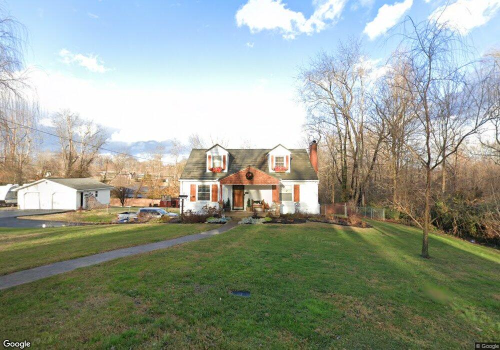
119 Pansy St Johnson City, TN 37601
Estimated Value: $240,529 - $302,000
--
Bed
1
Bath
2,088
Sq Ft
$127/Sq Ft
Est. Value
About This Home
This home is located at 119 Pansy St, Johnson City, TN 37601 and is currently estimated at $266,132, approximately $127 per square foot. 119 Pansy St is a home with nearby schools including Ashley Academy, Munsey Kindergarten, and Central Baptist Preschool & Kindergarten.
Ownership History
Date
Name
Owned For
Owner Type
Purchase Details
Closed on
Jun 5, 1997
Sold by
Secretary Of Veterans Aff
Bought by
Millsaps Amy
Current Estimated Value
Home Financials for this Owner
Home Financials are based on the most recent Mortgage that was taken out on this home.
Original Mortgage
$77,500
Outstanding Balance
$11,464
Interest Rate
8.37%
Estimated Equity
$254,668
Purchase Details
Closed on
Jan 21, 1997
Sold by
Reuss Dell V
Bought by
Hyder Jim
Purchase Details
Closed on
Oct 17, 1989
Bought by
Reuss Dell V and Reuss Jeannette M
Purchase Details
Closed on
Sep 17, 1989
Purchase Details
Closed on
Jul 6, 1961
Bought by
Lippard John C
Purchase Details
Closed on
Jan 18, 1947
Create a Home Valuation Report for This Property
The Home Valuation Report is an in-depth analysis detailing your home's value as well as a comparison with similar homes in the area
Home Values in the Area
Average Home Value in this Area
Purchase History
| Date | Buyer | Sale Price | Title Company |
|---|---|---|---|
| Millsaps Amy | $75,000 | -- | |
| Hyder Jim | $50,000 | -- | |
| Reuss Dell V | $55,000 | -- | |
| -- | $51,300 | -- | |
| Lippard John C | -- | -- | |
| -- | -- | -- |
Source: Public Records
Mortgage History
| Date | Status | Borrower | Loan Amount |
|---|---|---|---|
| Open | Not Available | $77,500 |
Source: Public Records
Tax History Compared to Growth
Tax History
| Year | Tax Paid | Tax Assessment Tax Assessment Total Assessment is a certain percentage of the fair market value that is determined by local assessors to be the total taxable value of land and additions on the property. | Land | Improvement |
|---|---|---|---|---|
| 2024 | $853 | $39,150 | $10,025 | $29,125 |
| 2023 | $853 | $39,150 | $0 | $0 |
| 2022 | $795 | $39,150 | $10,025 | $29,125 |
| 2021 | $795 | $39,150 | $10,025 | $29,125 |
| 2020 | $785 | $39,150 | $10,025 | $29,125 |
| 2019 | $785 | $31,800 | $8,000 | $23,800 |
| 2018 | $782 | $31,800 | $8,000 | $23,800 |
| 2017 | $782 | $31,650 | $8,000 | $23,650 |
| 2016 | $775 | $31,650 | $8,000 | $23,650 |
| 2015 | $775 | $31,650 | $8,000 | $23,650 |
| 2014 | $728 | $29,700 | $8,025 | $21,675 |
Source: Public Records
Map
Nearby Homes
- 515 Pilgrim Ct Unit D
- 515 Pilgrim Ct Unit B
- 506 Pilgrim Ct Unit B
- 504 Pilgrim Ct Unit D
- 500 Pilgrim Ct Unit B
- 127 Sewanee Rd
- 197 Woodland Dr
- 0000 Plymouth Rd
- 126 Jaynes Rd
- 204 Mayflower Rd
- 137 Unaka View Rd
- 126 Fairlawn Dr
- Tbd Swadley Rd
- Tbd Old Buffalo Rd
- 109 Northeast Dr
- 116 Blevins Ln
- 9 Lynn Terrace Ct
- 907 Cedar Grove Rd
- 140 Alf Taylor Rd
- 591 Southview Dr
- 109 Pansy St
- 124 Pansy St
- 127 Pansy St
- 129 Pansy St
- 130 Pansy St
- 2129 Old Lewis Rd
- 135 Pansy St
- 1360 Milligan Hwy Unit 2
- 126 Pansy St
- 1370 Milligan Hwy
- 1364 Milligan Hwy Unit 1
- 1364 Milligan Hwy Unit 1
- 101 Pansy St
- 2147 Old Lewis Rd
- 2138 Old Lewis Rd
- 2142 Old Lewis Rd
- 2134 Old Lewis Rd
- 1359 Milligan Hwy
- 1355 Milligan Hwy
- 1357 Milligan Hwy