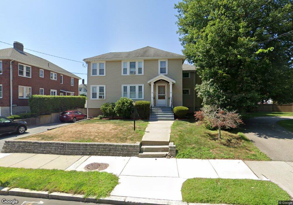
119 Waltham St Unit 121 West Newton, MA 02465
West Newton NeighborhoodEstimated Value: $1,426,128 - $1,624,000
6
Beds
5
Baths
3,164
Sq Ft
$478/Sq Ft
Est. Value
About This Home
This home is located at 119 Waltham St Unit 121, West Newton, MA 02465 and is currently estimated at $1,512,282, approximately $477 per square foot. 119 Waltham St Unit 121 is a home located in Middlesex County with nearby schools including Franklin Elementary School, F.A. Day Middle School, and Newton North High School.
Ownership History
Date
Name
Owned For
Owner Type
Purchase Details
Closed on
Sep 30, 1991
Sold by
119-121 Waltham St Rt
Bought by
Chan Steven
Current Estimated Value
Create a Home Valuation Report for This Property
The Home Valuation Report is an in-depth analysis detailing your home's value as well as a comparison with similar homes in the area
Home Values in the Area
Average Home Value in this Area
Purchase History
| Date | Buyer | Sale Price | Title Company |
|---|---|---|---|
| Chan Steven | $260,000 | -- | |
| Chan Steven | $260,000 | -- |
Source: Public Records
Mortgage History
| Date | Status | Borrower | Loan Amount |
|---|---|---|---|
| Open | Chan Steven | $89,000 | |
| Open | Chan Steven | $195,000 | |
| Closed | Chan Steven | $208,000 |
Source: Public Records
Tax History Compared to Growth
Tax History
| Year | Tax Paid | Tax Assessment Tax Assessment Total Assessment is a certain percentage of the fair market value that is determined by local assessors to be the total taxable value of land and additions on the property. | Land | Improvement |
|---|---|---|---|---|
| 2025 | $10,973 | $1,119,700 | $672,700 | $447,000 |
| 2024 | $10,610 | $1,087,100 | $653,100 | $434,000 |
| 2023 | $10,281 | $1,009,900 | $523,700 | $486,200 |
| 2022 | $9,837 | $935,100 | $484,900 | $450,200 |
| 2021 | $9,231 | $857,900 | $444,900 | $413,000 |
| 2020 | $8,956 | $857,900 | $444,900 | $413,000 |
| 2019 | $8,379 | $801,800 | $415,800 | $386,000 |
| 2018 | $8,443 | $780,300 | $391,900 | $388,400 |
| 2017 | $7,961 | $715,900 | $359,500 | $356,400 |
| 2016 | $7,474 | $656,800 | $329,800 | $327,000 |
| 2015 | $7,126 | $613,800 | $308,200 | $305,600 |
Source: Public Records
Map
Nearby Homes
- 76 Taft Ave Unit 1
- 76 Taft Ave
- 76 Taft Ave Unit 2
- 75 Cherry St
- 76 Harding St
- 162 Myrtle St Unit 1
- 138 Myrtle St Unit 2
- 39 Clinton St Unit 2
- 39 Clinton St Unit 1
- 308 Newton St Unit 1
- 312 Newton St Unit 1A
- 24 Tolman St Unit A
- 1 Farwell Cir
- 81 Alder St
- 41 Kilburn Rd
- 287 Cherry St Unit 2
- 176 River St
- 56 Dearborn St
- 44 Westland Ave
- 28-32 Calvary St
- 35 Annapolis Rd
- 9-11 Fordham Rd Unit 2
- 9 Fordham Rd Unit 2
- 9 Fordham Rd Unit 11
- 11 Fordham Rd Unit 1
- 111 Waltham St
- 13-15 Fordham Rd
- 13 Fordham Rd Unit 15
- 13 Fordham Rd Unit 13 Fordham Road, Wes
- 116 Waltham St
- 120 Waltham St Unit 122
- 120 Waltham St Unit 2
- 120-122 Waltham St
- 126 Waltham St
- 112 Waltham St
- 46 Fordham Rd
- 4 Annapolis Rd
- 105 Waltham St
- 130 Waltham St
- 19 Fordham Rd